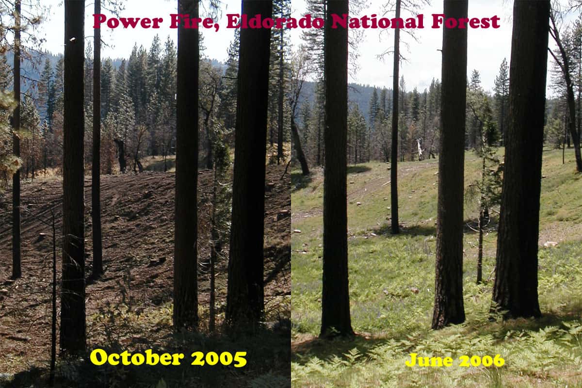
My first attempt at assembling pictures, showing how quickly salvage impacts can “heal”. Here is the current aerial view of this specific area.
https://www.google.com/maps/@38.4831284,-120.3639833,223m/data=!3m1!1e3?hl=en
Here is a view of a re-burn that has already occurred, in the same area. Notice the lack of significant mortality, due to having salvaged the area, reducing the fuels of the inevitable future fires.
https://www.google.com/maps/@38.4770266,-120.3464336,892m/data=!3m1!1e3?hl=en
One of the biggest “purpose and needs” in the Sierra Nevada is fuels reduction after a wildfire. Otherwise, re-burns, like the Rim Fire will dominate the landscapes for an indefinite amount of decades.
Thanks, LarryH – A picture is worth a thousand words.