There are scary and uncertain times ahead for our forests. There is just too much “Fog of War” going on for the public to sort out and fact-check for themselves. Even the ‘fact-checkers’ should be suspect, until proven reliable and bias-free. The rise of ‘fake news’ has blurred multiple lines, and many people, even in mass media, fall for the hoaxes, satire or misinformation. (Example: An article appeared on the Grist website, showing concern about a recall of “Dog Condoms”, presenting the link to www.dogcondoms.com )
Stewardship
Forest Service wins A to Z
The Ninth Circuit affirmed the district court denial of a preliminary injunction for the North Fork Mill Creek A to Z Project on the Colville National Forest, which has been discussed here. Of note, the question of contractor-NEPA was not addressed, although the court said that the Forest Service “reviewed and approved” the EA, and “The Forest Service subsequently retracted and revised the EA to address concerns raised by the public.”
That’s right, an EA on a 13,000 acre logging project with some at-risk species. How could that be? The short answer is essentially full mitigation of effects. For pine marten and fisher, the plaintiffs agreed that goals in the forest plan would protect the habitat, and that the project was consistent with those goals by correctly identifying the habitat and leaving it alone. The legal arguments they made were more technical and weaker. So, while there are some differences here from the Colorado Tennessee project in lynx habitat, it appears that the Colville forest-wide conservation strategy for these species also simplified the project NEPA process. Full mitigation basically also occurred for sediment and open road density (It also probably didn’t hurt that, “The project was the result of a multi-year collaboration among elected officials, environmental organizations, Native American tribes, the timber industry, and community organizations.” And maybe that had something to do with why the FS agreed to this degree of mitigation.)
The opinion includes an interpretation of the 2012 Planning Rule’s requirement for the use of the “best available scientific information in the forest planning process” (despite the fact that the new Planning Rule does not apply to either the existing plan or to any projects). Quoting a Ninth Circuit case: A party challenging the Forest Service’s scientific analysis cannot simply “cite studies that support a conclusion different from the one the Forest Service reached” and must instead provide “scientific studies that indicate the Forest Service’s analysis is outdated or flawed.”
Giant Sequoia National Monument
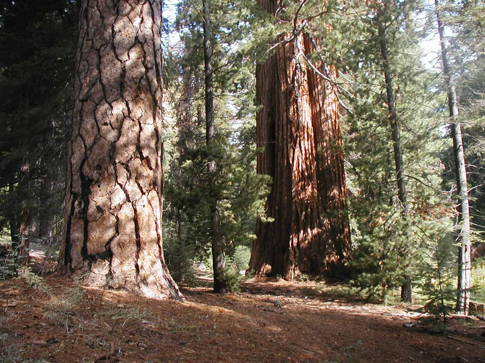
With the general public becoming enraged about Giant Sequoia logging scenarios, here is a picture of some Bigtrees in what used to be the Sequoia National Forest. Chances are, the review will recommend keeping all groves within the Monument, adding some buffer zones and connectivity, then returning a large portion, including logging roads, skid trails, plantations and stumps, back to the National Forest.
The ‘Trumpspiracies’ abound on the Sierra Club’s Facebook fundraising content comments. They make up these elaborate and unlikely situations where the “logging companies” would come in and make wild profits off of cutting Giant Sequoias. Some think that they would be cut to burn for power. More were sure that oil wells and mining would happen once the trees were gone. One insisted that the wood could be exported, milled and made into tables, “destined for the Arabian Peninsula”. Many are comparing this National Monument review to the destruction of historical sites by radical Islam. If you’re going to oppose actual Trump era actions, maybe, just maybe, one should actually use facts?
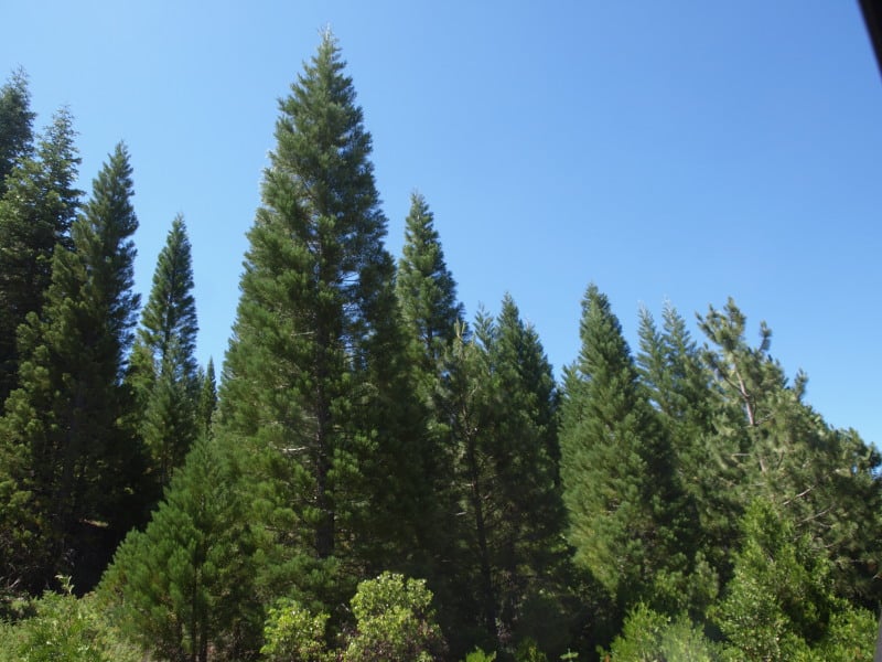
With Sequoias being a rather sensitive issue, what shall we do, when very soon we will need to thin some of these Giant Sequoia plantations, scattered throughout the Sierra Nevada? Here’s a sample of one on the Eldorado.
Sunday Panorama
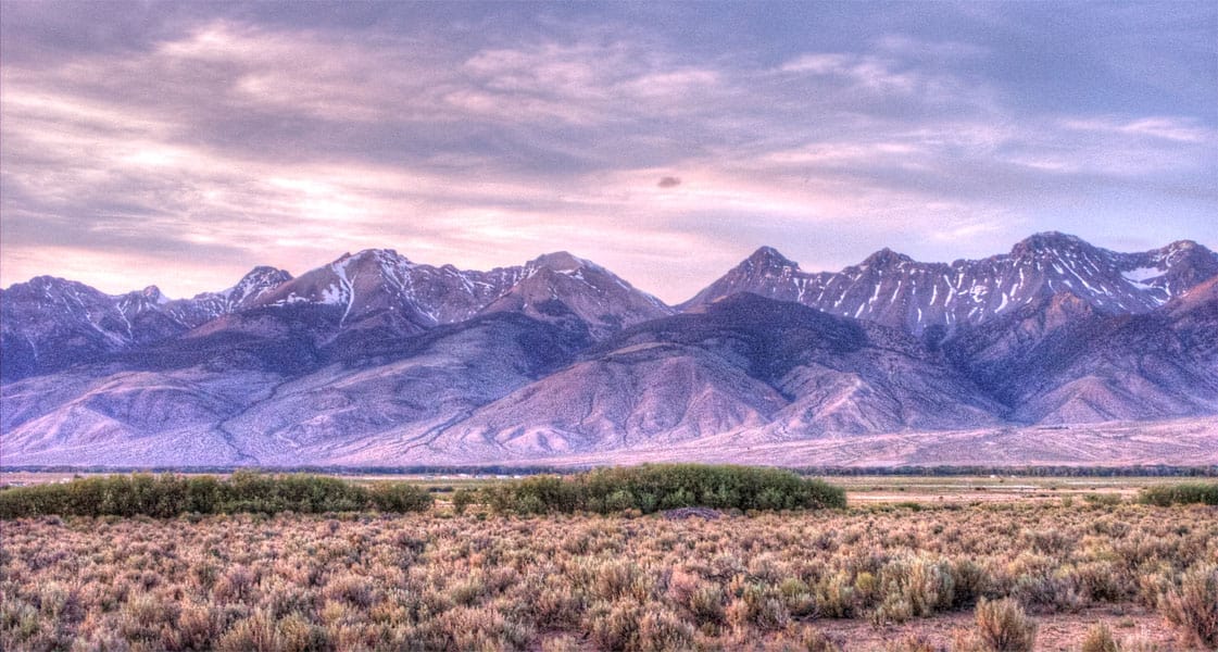
A collection of Idaho’s tallest peaks, on the Salmon-Challis National Forest.
Instagram: @larryharrellfotoware
Facebook: www.facebook.com/LarryHarrellFotoware
We’re All In This Together

IN SEARCH OF COMMON GROUND
It seems like an exercise in futility for the “New Century of Forest Planning” group to be discussing and cussing forest planning &/ policy when we haven’t even agreed to the scientific fundamentals that serve as the cornerstone and foundation for any such discussions.
Below, I have developed a tentative outline of the high level fundamentals which any Forest Plan or Policy must incorporate in order to have a reasonable chance of meeting the desired goals. Until we can come up with a version of these “Forestry Fundamentals” that we generally agree to, we are pushing on a rope and wasting each other’s time unless our objective here is simply to snap our suspenders and vent on each other.
In your comments, please note the outline Item that you are responding to. Maybe we can revise my initial effort and come to some common ground. In doing so we would perform a service and make a step forward that would be useful outside of this circle instead of just chasing our tails. Coming to such an agreement would be a step towards developing a priority hierarchy and eliminating the internal conflicts which make current federal forest policy and law ambiguous and self-contradictory. Until we reach common ground, the current obviously unworkable policies will continue to doom our forests to poor health and consequentially increase the risk of catastrophic loss of those forests and the species that depend on them for survival.
– FORESTRY FUNDAMENTALS – 1st Draft 12/15/16
ESTABLISHED SCIENCE WHICH MUST BE INCORPORATED IN PLANNING FOR
THE SUSTAINABILITY OF FOREST DEPENDENT SPECIES
I) The Fundamental Laws of Forest Science which have been repeatedly validated over time, location, and species. They include:
— A) plant physiology dictating the impact of competition on plant health,
— B) fire science dictating the physics of ignition and spread of fire and
— C) insects and pathogens and their propensity to target based on proximity and their probability of success being inversely proportional to the health of the target.
— D) Species suitability for a specific site is based on the interaction between the following items, those listed above and others not mentioned:
— — 1) hydrology, the underlying geology and availability of nutrients in the soil.
— — 2) latitude, longitude, elevation, aspect and adjacent geography.
— — 3) weather including local &/ global pattern changes.
II) The Fundamental Laws controlling the success of endangered, threatened and other species dependent on niche forest types (ecosystems):
— A) Nesting habitat availability.
— B) Foraging habitat availability.
— C) Competition management.
— D) Sustainability depends on maintaining a fairly uniform continuum of the necessary niches which, in turn, requires a balanced mix of age classes within each forest type to avoid species extinguishing gaps.
— E) Risk of catastrophic loss must be reduced where possible in order to minimize the chance of creating species extinguishing gaps in the stages of succession.
III) The role of Economics:
— A) Growing existing markets and developing new markets in order to provide revenue to more efficiently maintain healthy forests and thence their dependent species.
— B) Wise investment in the resources necessary to accomplish the goals.
— C) Efficient allocation of existing resources.
IV) The role of Forest Management:
— A) Convert the desires/goals of the controlling parties into objectives and thence into the actionable plans necessary to achieve the desired objectives.
— B) Properly execute the plans in accordance with the intent of: governing laws/regulations and best management practices considering any economies.
— C) Acquire independent third party audits and make adjustments in management practices where dictated in order to provide continuous improvement in the means used to achieve goals.
— D) Adjust plans as required by changes: in the goals, as required by the forces of nature and as indicated by on the ground results.
— E) Use GIS software to maintain the spatial and associated temporal data necessary for Scheduling software to find and project feasible alternatives and recommend the “best” alternative to meet the goals set by the controlling parties.
What did I miss, what is wrong, what is right, what would improve this list of Forest Fundamentals?
Howdy, Folks
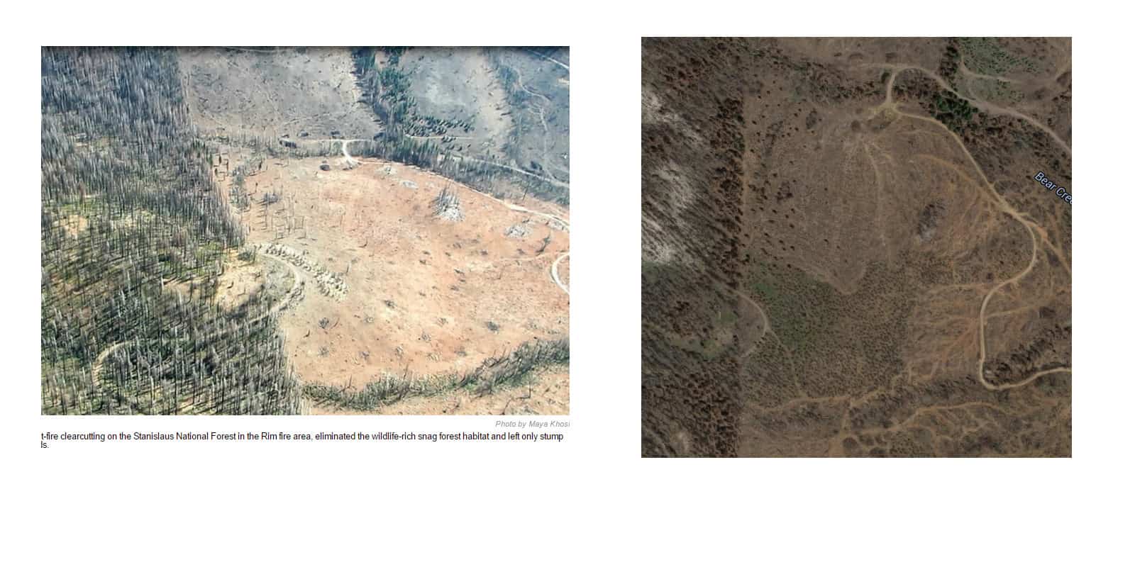
I’m just going to drop this here. A side by side comparison of the land that some serial litigators insist is clear evidence of Forest Service salvage clearcutting in the Rim Fire. The caption reads, “Post-fire clearcutting on the Stanislaus National Forest in the Rim fire area, eliminated the wildlife-rich snag habitat and left only stump fields.” Where is the “wildlife-rich snag habitat” in that burned-over plantation on private land? The picture on the right is before logging started, from Google Maps.
Yes, the story is still up on their website, in all its slanderous glory.
Have a nice day!
Massive Crater Lake Wilderness Area Fantasy
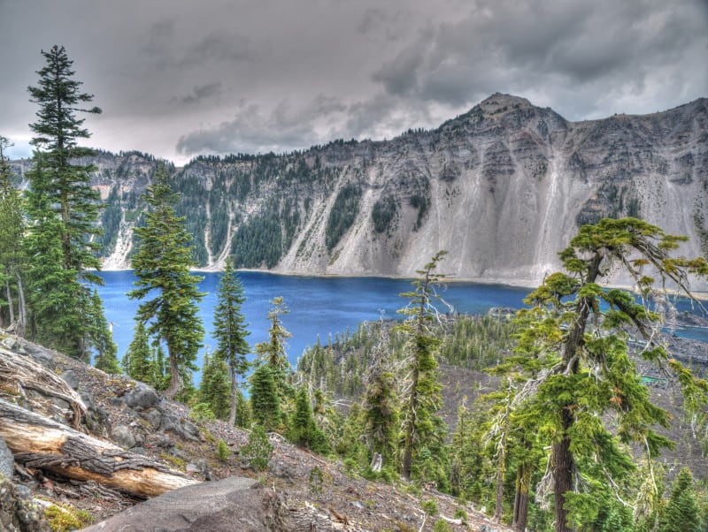
Oregon Wild has proposed a massive half million acre Wilderness Area, partly to “protect” Crater Lake. The Klamath County Commissioners are saying no, with fears that summer fires would affect public health, and that those unhealthy forests need active management.
Here is a map of what Oregon Wild wants done.
Rim Fire Images
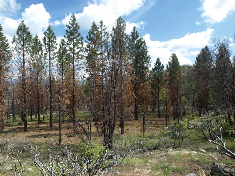
The media does like to sensationalize events like the Rim Fire, often implying that the lands have been “destroyed”. The Rim Fire is so huge and burned across so many differing kinds of vegetation that you cannot summarize too much. Even my own “sampling” from the access roads doesn’t cover very much of the impacts and effects of a 250,000 acre wildfire.
Much of the wildfire burned in plantations generated from previous wildfires. Here is an example of one of those plantations that wasn’t thinned. I can see why it wasn’t but, maybe a “pre-commercial thinning” kind of task could have been included into one of the other commercial plantation thinning projects that I worked on, back in 2000.
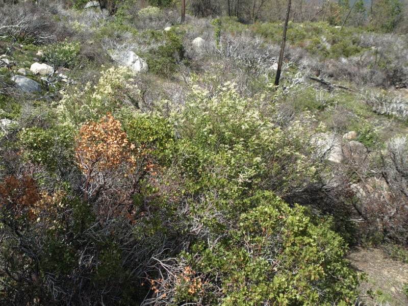
In the same area were blocks of land that were left for “Mother Nature”, after the early 70’s Granite Fire. Here is what a 40 year old brushfield looks like. Those blocks are choked with deer brush, whitethorn and manzanita, with very few conifers, and fewer oaks than the “natural stands” (as they called the unburned portions).
As you can see, sometimes there is a fine line between a total plantation loss and one that has survived a wildfire. This is one of the thinned plantations, near Cherry Lake.
Here is another example of an “old growth” brushfield. While this one didn’t burn much, there are many examples of them burning at moderate to high intensities. Looking at Google Maps, I can find examples where the flames from the brushfields were pushed into the thinned plantations. The Forest Service should be treating those old brushfields with prescribed fire, instead of “whatever happens”.
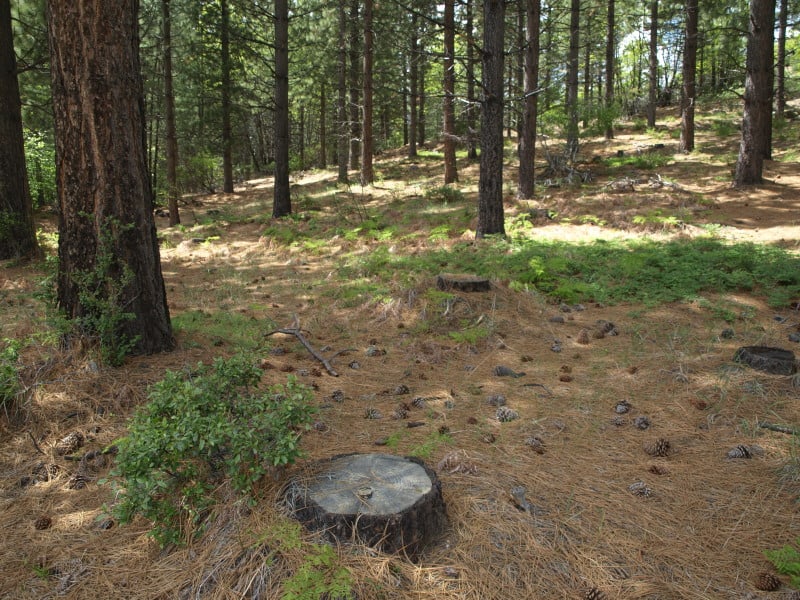
This unburned stand, within the fire perimeter, is a good example of the work we did back in 2000. I don’t really know of any other reason why this large patch, near Cherry Lake, didn’t burn
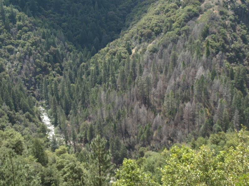
The Clavey River, long-cherished by the local eco-community, acted like a conduit for the Rim Fire, as it burned so many acres in just one day. However, you can see that the intensity and damage is rather minimal. There is a fork in the river, down there, and the main fork of the fire went up that way, finding more conifers to burn. (It also found the big block of Sierra Pacific Industries lands.) I found it very interesting that the isolated pockets of Douglas-firs had very high mortality, but only a low-to-moderate intensity.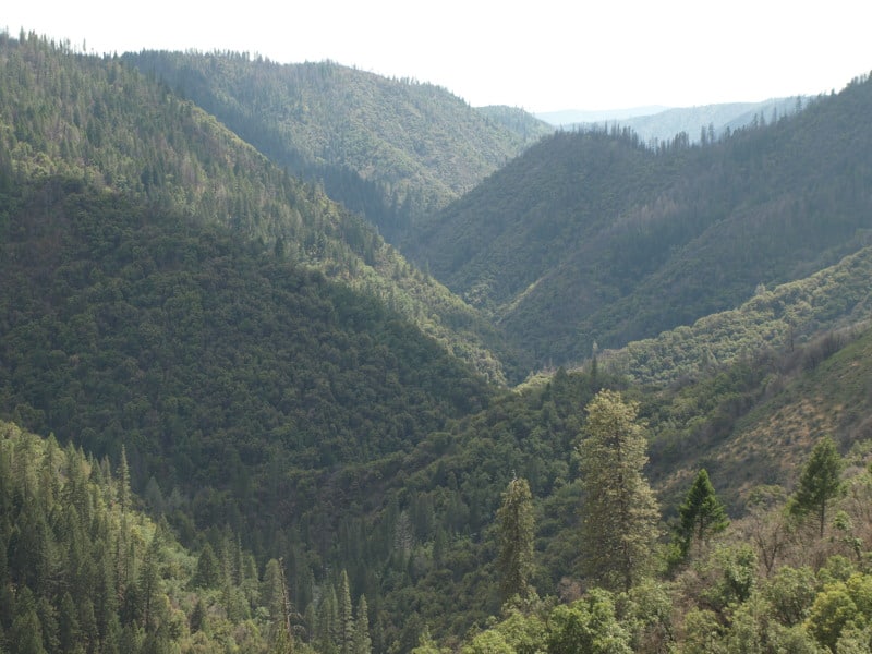
Here is one of those pockets, alongside the Clavey River. In the past, this kind of pocket would be thrown into a large helicopter salvage project.
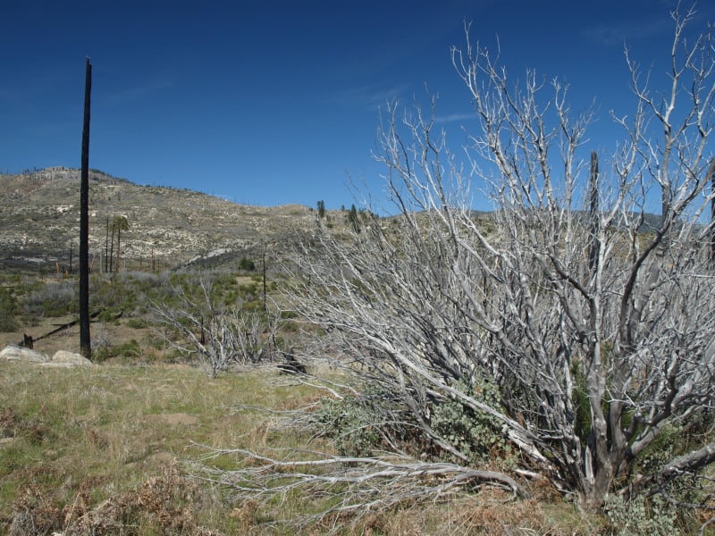
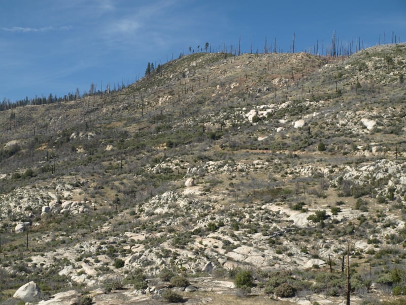
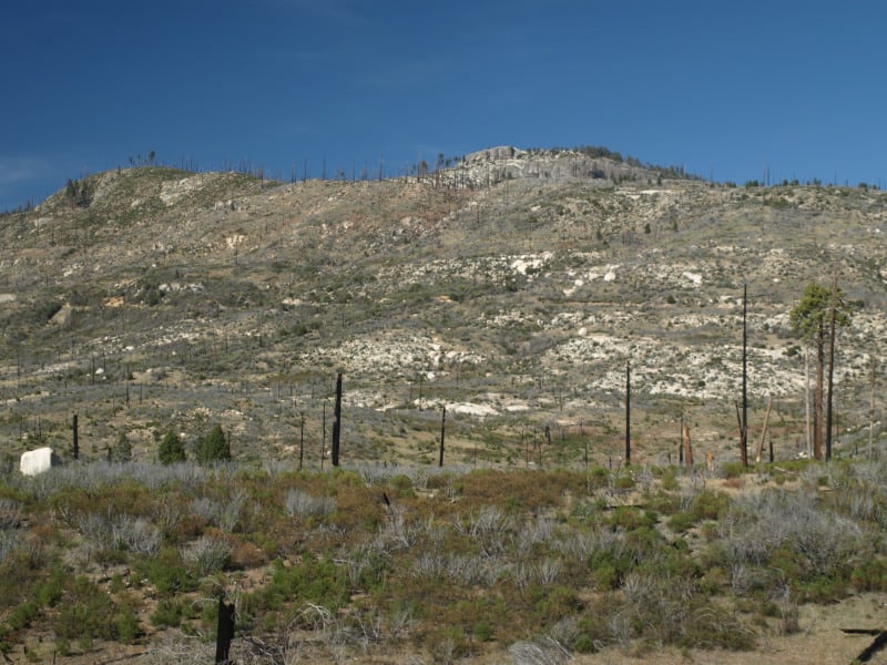
Happy Earth Day!
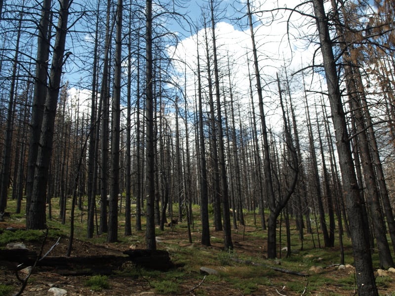
26 years after “protected” forests burned, in Yosemite National Park, this is what we now have. Chances are, it will burn again, before conifer trees can become established enough to resist the next inevitable wildfire. You might notice that even the manzanita is having trouble surviving. I doubt that John Muir intended this on public lands. This landscape is probably the future of parts of the Rim Fire, within Yosemite National Park.
