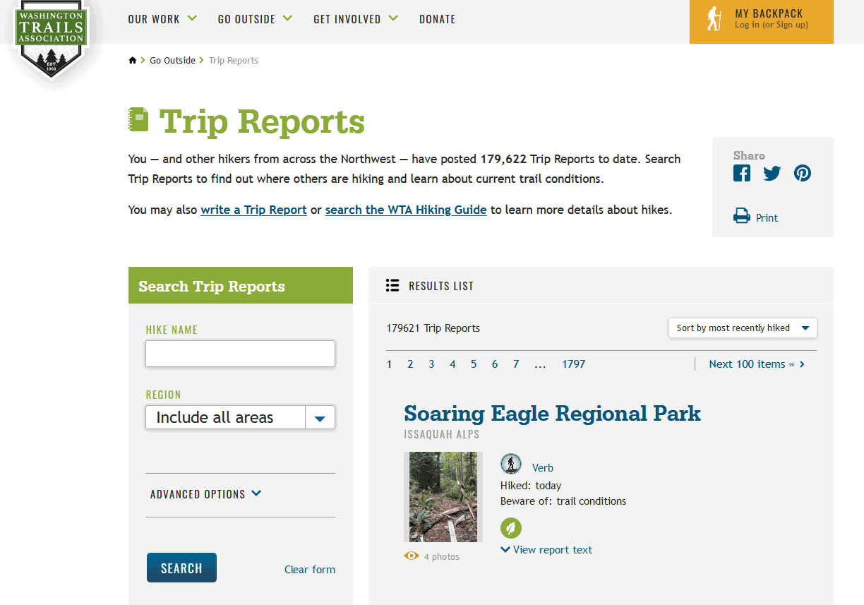
I came across a very interesting research paper from 2018 by Fisher et al. here. The title is: Recreational use in dispersed public lands measured using social media data and on-site counts.
Basically it says that user-generated data from social media can be used to get information about recreation use in dispersed areas and supplement NVUM. It potentially sounds like a great source of detailed information on recreation use, although I suppose we couldn’t tell what kind of vehicle, or not, they are using. Unless you got trip reports from different kinds of user groups.
*Note: this is not what the authors did but… As a recreationist, it would be cool to have GPS of where recreationists are in real time (not sure this is possible technically or due to privacy concerns). Would people opt in? Folks could get information on where other people are.. and could go elsewhere, maybe reducing crowding at the more popular sites, and getting people to spread out (good for Covid). I’m not sure about the environmental benefits of spreading out vs. crowding. It would also be very cool if GPS from phones could be used to alert recreationists to forest fires as well. But maybe this is already happening as part of evacuation notifications.*
Back to what the authors did. Social media potentially sounds like a great source of detailed information on recreation use. It seems like an interesting possibility to explore, especially since recreation patterns and numbers seem to be changing due to Covid- even as travel management decisions are being made that consider patterns of use.
If anyone knows more about either real-time data collection and notification, or other folks who have used social media data, please add your comment.
Here’s the abstract:
Outdoor recreation is one of many important benefits provided by public lands. Data on recreational use are critical for informing management of recreation resources, however, managers often lack actionable information on visitor use for large protected areas that lack controlled access points. The purpose of this study is to explore the potential for social media data (e.g., geotagged images shared on Flickr and trip reports shared on a hiking forum) to provide land managers with useful measures of recreational use to dispersed areas, and to provide lessons learned from comparing several more traditional counting methods. First, we measure daily and monthly visitation rates to individual trails within the Mount Baker-Snoqualmie National Forest (MBSNF) in western Washington. At 15 trailheads, we compare counts of hikers from infrared sensors, timelapse cameras, and manual on-site counts, to counts based on the number of shared geotagged images and trip reports from those locations. Second, we measure visitation rates to each National Forest System (NFS) unit across the US and compare annual measurements derived from the number of geotagged images to estimates from the US Forest Service National Visitor Use Monitoring Program. At both the NFS unit and the individual-trail scales, we found strong correlations between traditional measures of recreational use and measures based on user-generated content shared on the internet. For national forests in every region of the country, correlations between official Forest Service statistics and geotagged images ranged between 55% and 95%. For individual trails within the MBSNF, monthly visitor counts from on-site measurements were strongly correlated with counts from geotagged images (79%) and trip reports (91%). The convenient, cost-efficient and timely nature of collecting and analyzing user-generated data could allow land managers to monitor use over different seasons of the year and at sites and scales never previously monitored, contributing to a more comprehensive understanding of recreational use patterns and value
My experience here in Montana is that the Forests have always been lacking in relevant recreational data, and tend to make decisions that are appropriate for a previous decade. Any technique that allows them to get up to speed will result in more accurate administrative decisions. Go for it!
Greg, it sounds like they (some entities somewhere in the FS) are not interested or more likely don’t have the funding to support such efforts. This would be a great place for an NGO to step up IMHO!
Sharon, how right you are! Poor recreational understanding in Region One has created a knowledge vacuum that is constantly being filled by Wilderness focused NGOs. These organizations thrive on inadequate recreational data, often creating their own narrative to fill the voids.
I wish we knew someone well-off who could fund a “big tent” recreation NGO or coalition.. it’s not that hard to find things we all agree on, and finding out information together (joint fact-finding) would make everyone trust the information more.