Pine Regeneration: Bridge Fire, Bryce Canyon National Park

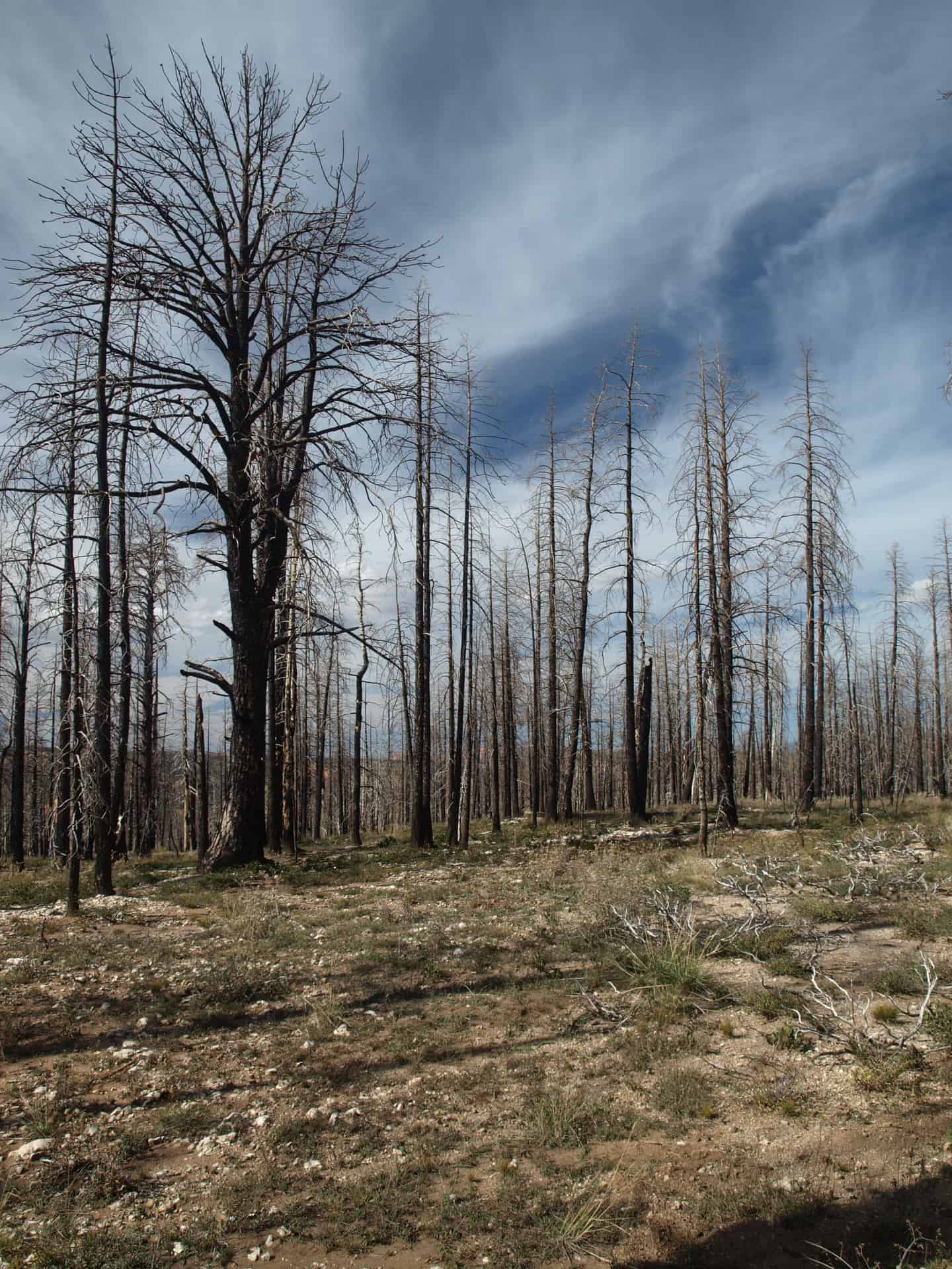
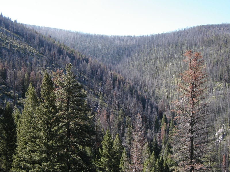
The 2009 Bridge Fire was started by lightning, and burned in both the Dixie National Forest and Bryce Canyon National Park. Since the fire didn’t closely approach structures, the fire was allowed to burn to the road, and in some places, to the rim.

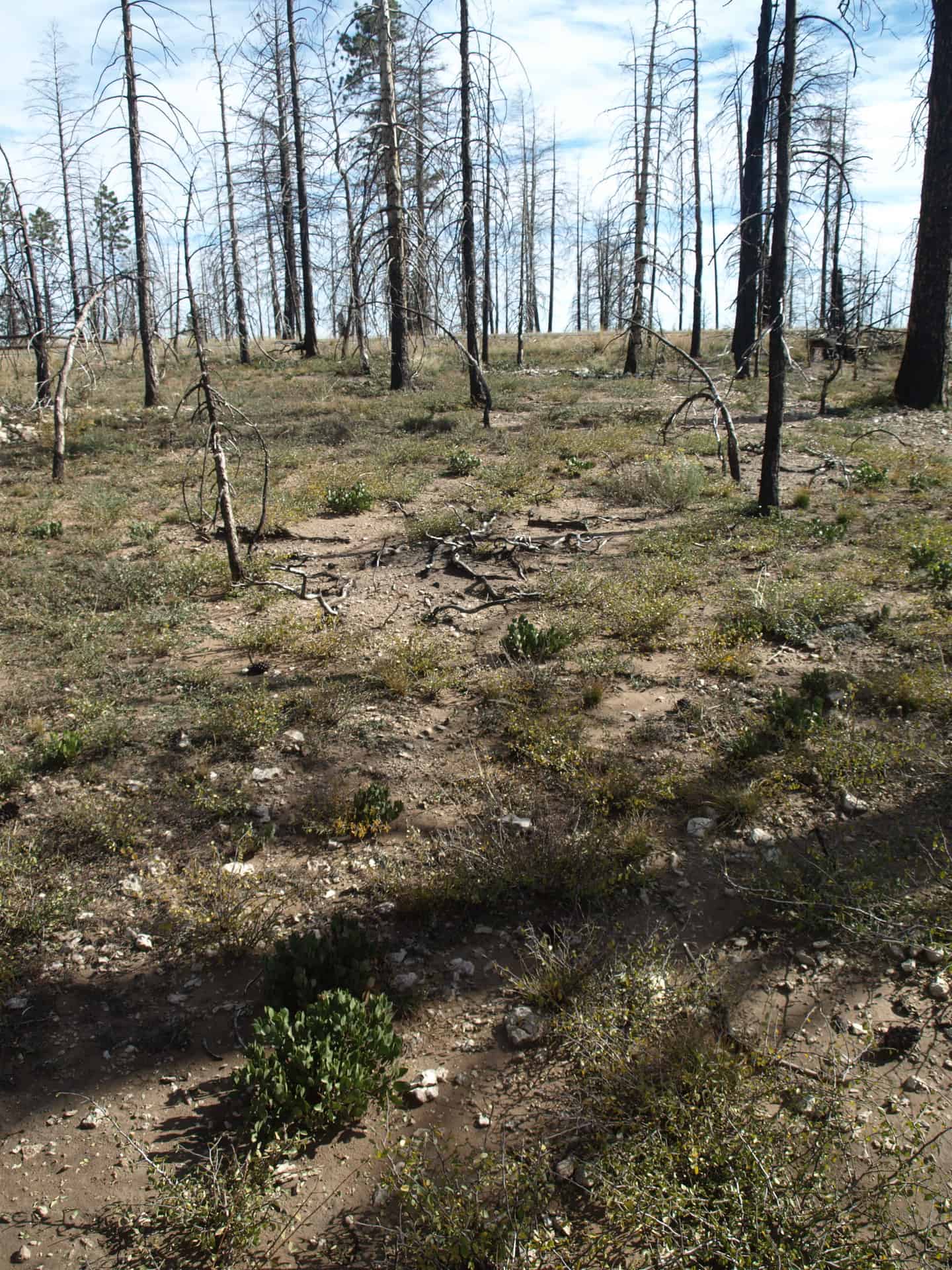
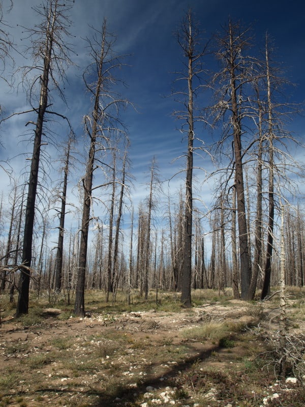
Mortality was pretty severe but, there were still some green trees scattered about. It is hard to say if there has been a good cone year, since the fire. I didn’t see a single live new tree in this particular area.

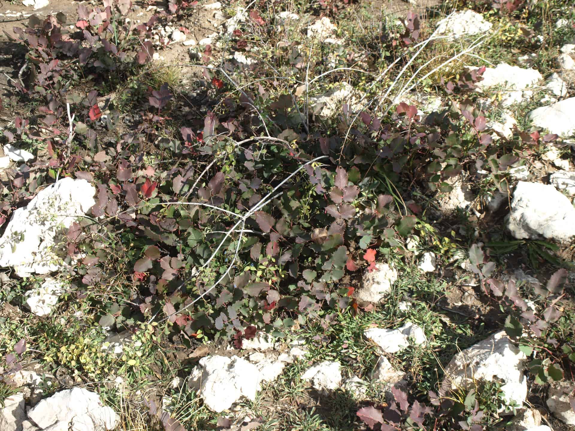
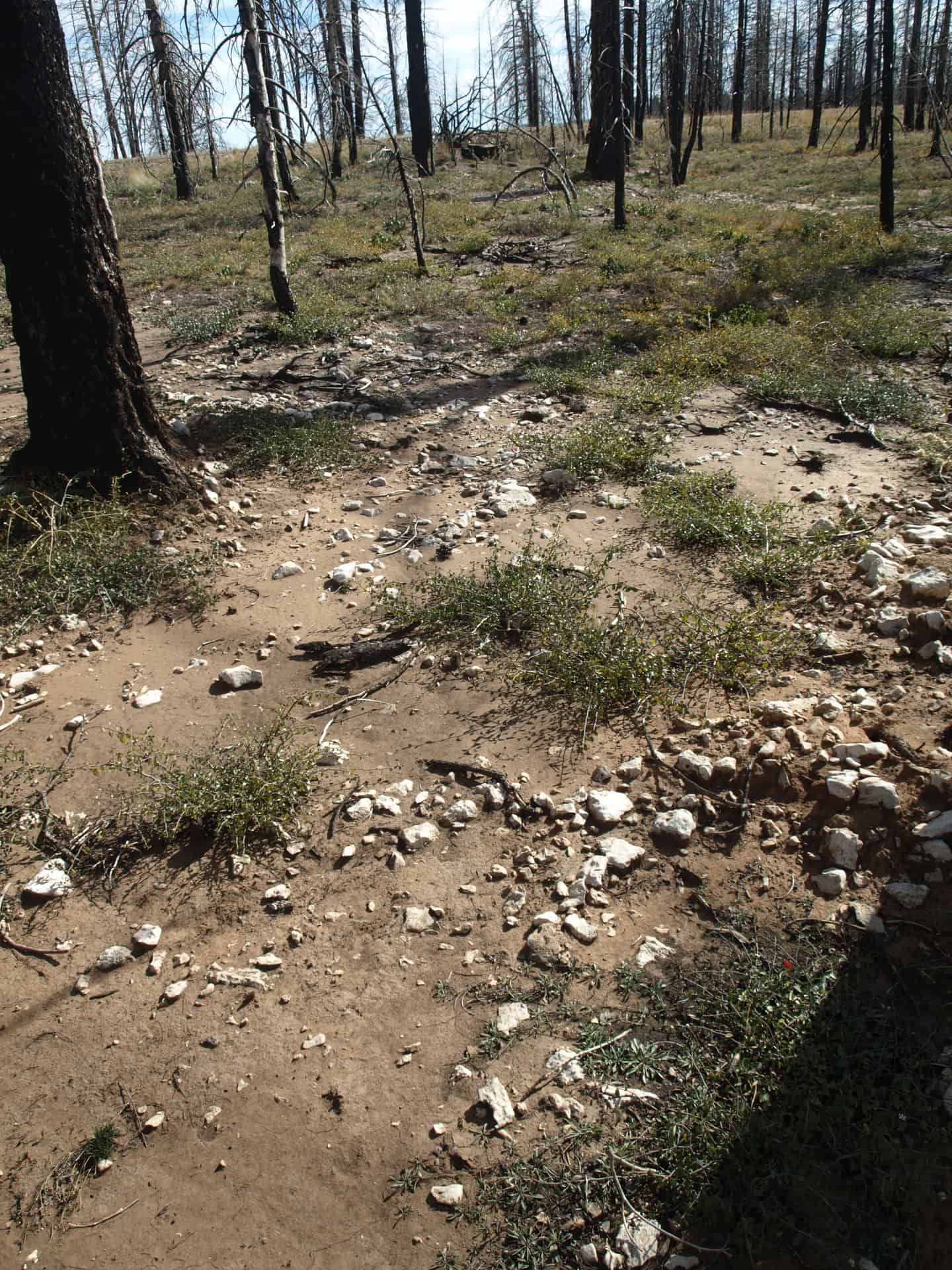
I did see this dwarf Oregon grape but, it really wasn’t a surprise, since I had seen them growing among the hoodoos.

I also saw some manzanita and ceanothus becoming re-established, along with other desert brush species.

As the years go on, the odds for having a pine forest soon are worsening. At 9000 feet in elevation, this is a pretty harsh environment for any tree. I posted most of these pictures in high resolution, so you can see the vegetation easily, if you click on them. You cannot judge pine regeneration after only a few years but, in this case, pine regeneration looks very poor.

To see the pictures from my Bryce Canyon and Zion National Park adventures, go see my Facebook page, please. These include the Peekaboo trail in Bryce Canyon, and “The Narrows” in Zion National Park.
www.facebook.com/LarryHarrellFotoware

Indian Valley Meadow Restoration

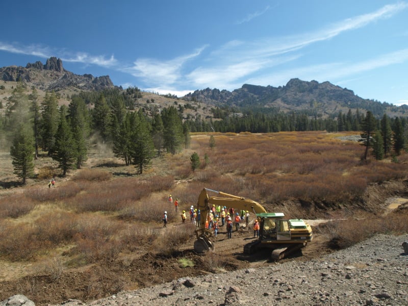
Indian Valley, part of the Amador Ranger District, Eldorado National Forest, is being restored as a high elevation meadow, after decades of misuse. Grazing has ceased but, its impacts still linger. In the past, willows were removed and water was channeled away, causing increased erosion of these shallow and fragile soils. The water table has been lowered and the meadow hasn’t been able to support the vegetation that it used to.

Concentrating runoff by channeling the water causes increased erosion, especially when we have rain on snow events. There were significant impacts from the winter of 1996. This project aims to get the water to spread out, linger, and re-charge the water-holding capacity of up to 500 acres.

A system of catchment ponds, compacted soil plugs, and native plant re-vegetation will cause snowmelt runoff to spread out and slow the erosive power of concentrated water. This project has a history of being de-funded and handed off but, all things came together when Coca Cola offered up some cash, which led to some additional matching funds and collaboration. The Ranger District had to jump through all the NEPA hoops, as surveys had to be completed for endangered willow flycatchers, frogs and toads. The one impact they could not remedy is a historic road, which travels across the meadow. Relocation was made impossible, due to archaeological sites. Removal or closure would be politically impossible.

The willows have made a great comeback, since grazing ended. However, you can clearly see that the foreground vegetation is quite sparse. Raising the water table a few feet will lead to meadow restoration. The numerous braided side channels would re-charge the water table. There appears to be one of the historic man-made channels in this picture.

Here is what appears to be one of the natural side channels, which no longer is supplied with water, due to lowered water table, erosion, and channeling of the water. This restoration project appears to be a win-win situation for everyone.

Here is a non-Forest Service link to the project:

http://www.americanrivers.org/newsroom/blog/lhunt-20120920-indian-valley-meadow-restoration.html

Giant Sequoia Plantation!

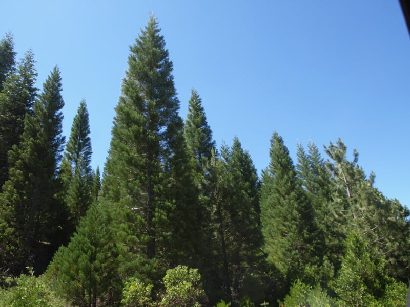
We ran across this Giant Sequoia plantation, within our restoration project. I’m not sure of the age of this plantation but, it was probably back in the late 70’s or early 80’s. It is mostly south-facing, and not really like where they normally grow but, a “renegade” culturist did several experiments. I’m not sure what future management ideas are. This one needs some thinning, as their vitality seems quite variable.


Thinning in the Sierra Nevada

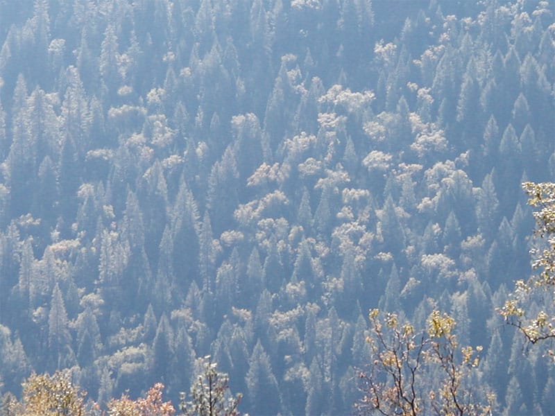
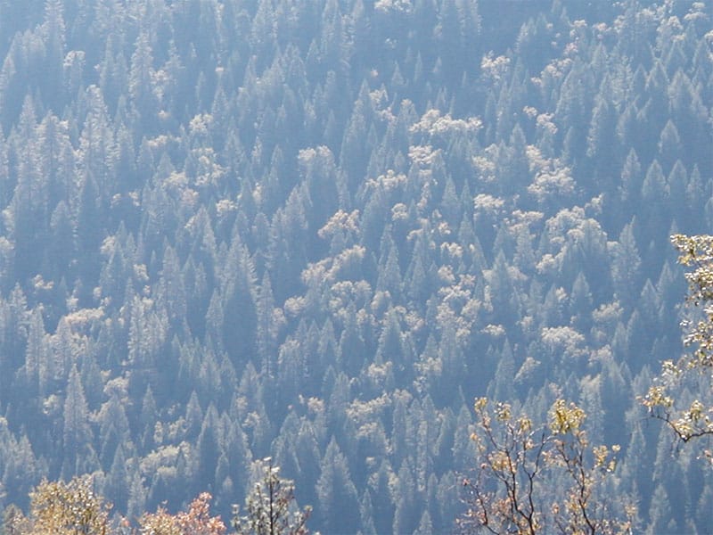
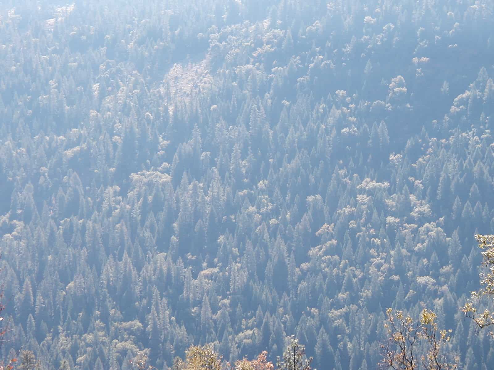
I tried my hand at some “digital thinning”, with a picture of the Stanislaus National Forest, above the Mokelumne River. I couldn’t really remove as many of the bigger trees as I should, without sacrificing photorealism. I did “enhance” some of the oaks, which is a keystone of the new paradigm of ecosystem wildlife values. I am sure there are some home habitats of ESA birds, here. There would also be some pockets of undisturbed forest, and maybe some bigger openings around the oaks.

Below is the original picture

I think we can all say that there is, indeed, some excess trees to thin out, in this stand.

www.facebook.com/LarryHarrellFotoware

New Age Forestry Project in California

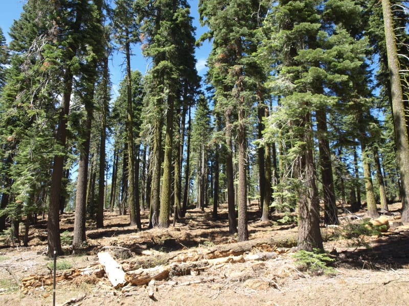
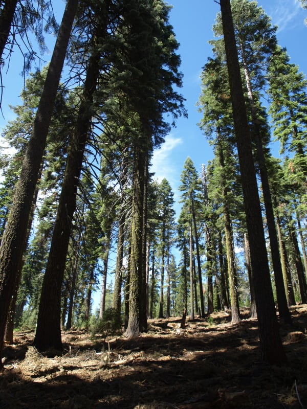
This is an example of what our thinning projects look like, when completed. As you can see, the stand is still well-stocked, and ladder fuels have been removed. You can also see that the stand will be resilient and that all the logging slash has been removed, as well. In looking closer, I’m not seeing any damaged trees, as well. Additionally, no large trees ( over 30″ dbh ) were cut, unless they could fall and hit the adjacent highway.

This logging was done during this season, and work is continuing in other units. The project is quite visual, being all along a major Sierra Nevada highway. We call this style of project “thinning from below”. Any thoughts?

“An Ecosystem Management Strategy for Sierran Mixed Conifer Forests”

http://www.fs.fed.us/psw/publications/documents/psw_gtr220/

“Description: Current Sierra Nevada forest management is often focused on strategically reducing fuels without an explicit strategy for ecological restoration across the landscape matrix. Summarizing recent scientific literature, we suggest managers produce different stand structures and densities across the landscape using topographic variables (i.e., slope shape, aspect, and slope position) as a guide for varying treatments. Local cool or moist areas, where historically fire would have burned less frequently or at lower severity, would have higher density and canopy cover, providing habitat for sensitive species. In contrast upper, southern-aspect slopes would have low densities of large fire-resistant trees. For thinning, marking rules would be based on crown strata or age cohorts and species, rather than uniform diameter limits. Collectively, our management recommendations emphasize the ecological role of fire, changing climate conditions, sensitive wildlife habitat, and the importance of forest structure heterogeneity.”

This is a basic scientific reasoning for the marking prescriptions we are using in our current project. In scanning through some of it (it seems QUITE comprehensive!), I found this little gem.

‘How is ecological restoration defined in the GTR? In the face of changing
climate conditions, our focus is on increasing ecosystem resiliency. This focus
is consistent with that described in USDA Forest Service Manual 2020.5,
which defines ecological restoration as: “The process of assisting the recovery
of resilience and adaptive capacity of ecosystems that have been degraded,
damaged, or destroyed. Restoration focuses on establishing the composition,
structure, pattern, and ecological processes necessary to make terrestrial and
aquatic ecosystems sustainable, resilient, and healthy under current and future
conditions.” ‘

The Difference Between a Chinook and a Verthol.

A Chinook could lift a 16-footer…

A Verthol cannot!

A well-known helicopter logging company sent their Chinook away before they remembered that this huge sugar pine log needed to be removed from the streamcourse. I watched and took a series of photos documenting how this situation would pan out. While I was there, the Verthol couldn’t quite get one of those pieces into the air. They decided to try again in the morning, when they could get more lift.

The Best Kind of Preservation

I think we can all say that making this part of my old stomping grounds into a “Land Trust” is a very good thing. As a kid, I rode my bicycle all around Napa County, with the west side being my favorite. Way up at the end of Napa’s Redwood Road is a large parcel of land dominated by second growth redwoods and an isolated waterfall complex. They like to guide people during a visitor’s first hike, and I asked if they were worried about their fuels problem. They didn’t seem to care, willing to take whatever future wildfire will give, Man-caused or not. While the east side of the Napa Valley is notorious for intense brush fires, the wetter west side has a lot more fuels. Where fire-return intervals are long, increased impacts, due to higher fuels buildups, are not easily apparent. I think we’ll see that we underestimated fire intensities in unmanaged forests.

This kind of preservation is not a fight against resource extraction. It is more about banning human development, like mansions, retreats and recovery centers (smirks).