Forest Service and Boone and Crockett Club sign memorandum advancing wildlife-based access

From the FS press office.

(Washington, D.C., ) –

The U.S. Forest Service and the Boone and Crockett Club signed a Memorandum of Understanding (MOU) underscoring the importance of sustaining outdoor recreation opportunities with a particular emphasis on public access for hunting, angling, wildlife conservation, habitat stewardship, and conservation education.

Fourteen other organizations participated in the signing and are recognized as collaborating partners to support the implementation of the MOU. Under the framework the Boone and Crockett Club will convene with these partners to identify, develop and implement opportunities to enhance the recreational access on public lands.

“The Forest Service welcomes nearly 164 million visitors each year to our national forests and grasslands, and approximately 14 percent – nearly 23 million people – participate in hunting, fishing or target shooting activities annually,” said Forest Service Chief Tom Schultz. “National forests offer stable, predictable, and affordable access to high quality wildlife habitat—an essential benefit for hunters and conservationists dedicated to fair chase and public land heritage. We are committed to strengthening this strong partnership with an historic institution, such as the Boone and Crockett Club.”

“We appreciate the attention of Chief Schultz and the Forest Service, along with our partner conservation organizations, on the challenge of recreational access on public lands for hunting,” commented Boone and Crockett Club chief executive officer Tony Schoonen. “Enhanced recreation and access opportunities can help increase awareness and engagement on forest health issues and build support for increased funding for access and conservation on national forests. We look forward to collaborating through this MOU to enhance recreational access to the National Forest System lands for hunters, anglers, and recreational shooters.”

The National Forest System and Forest Service came together through the vision of President Theodore Roosevelt, who founded the Boone and Crockett Club in 1887, and the agency’s first chief, Gifford Pinchot who was also a member of the Club.

The conservation and management of 193 million acres of forests and grasslands across the United States allows for significant recreational use by the public.

The Forest Service, Boone and Crockett Club, and associated stewardship partners will work together in the coming months to evaluate opportunities, resources, research, and other needs that will support efforts or projects to enhance recreational access.

*********

You might wonder who the other fourteen groups were, here on the Boone and Crockett website they are listed:.

The Forest Service, Boone and Crockett Club, and associated stewardship partners – including America Outdoors Association, Archery Trade Association, Association of Fish and Wildlife Agencies, Congressional Sportsmen’s Foundation, Mule Deer Foundation, National Shooting Sports Foundation, National Wild Turkey Federation, National Wildlife Federation, Pheasants Forever and Quail Forever, Professional Outfitter and Guide of America, Rocky Mountain Elk Foundation, Ruffed Grouse Society & American Woodcock Society, Theodore Roosevelt Conservation Partnership, and Wild Sheep Foundation – will work together in the coming months to evaluate opportunities, resources, research, and other needs that will support efforts or projects to enhance recreational access.
Interview With San Bernardino County Fire Chief Dan Munsey: The Hotshot Wakeup

From what I’ve observed and heard, it seems like the push for One Wildfire Agency may have come from externals, including partners, who have to deal with several federal agencies, as well as some wildfire employees who would prefer to have bosses and direct leadership from the fire world.

I think everyone would prefer to have bosses who know and understand their work, so I don’t think that that’s unusual.

The Hotshot Wakeup had a very interesting interview today with San Bernardino County Fire Chief Dan Munsey.

If you don’t have time to listen, Munsey did note that the people working on the One Agency appreciate the connection with land management, and are working on how to do that; and even mentioned planning. The barriers to technology adoption (aka multi-agency bureaucracies) sounded par for the technology (or any other topic) course.  He also mentioned the importance of access via roads (ties in with Don Amador’s recent post).

I don’t think the interview is paywalled, but if it is, let me know.

Also, here is Munsey’s testimony before the House Committee on Natural Resources on May 15, 2025. It’s got some interesting ideas about joint land management and history. That’s where I got the above photos.

Here’s THW’s summary of the interview:

Today, I welcome San Bernardino County Fire Chief Dan Munsey to discuss what he believes are the four biggest lies in the wildfire industry, and what the actual truths are behind those lies.

The Four Lies the Chief Addresses:

  1. There is a large wildfire crisis. (Truth: We have a land management crisis.)
  2. There is a fire insurance crisis. (Truth: We have a crisis of homes burning down.)
  3. The Palisades and Eaton Fires were very destructive “wildfires.” (Truth: These were urban conflagrations with a small wildfire component.)
  4. There is a wildfire technology crisis. (Truth: There is a wildfire technology adoption crisis.)

We then discuss the leadership of the new wildfire agency, the reality of moving forward with it, and I ask him if California can realistically achieve success with its wildfire land management under the new “Make America Rake Again” campaign.

Chief Munsey oversees the largest fire protection district in the Nation, spanning almost 20,000 square miles and serving a population of nearly two million. The Chief has testified before Congress multiple times, advocating for better wages, improved technology adoption, and the maintenance of trails and forest roads to help wildland firefighters access wildfires.

Listen, and we can discuss below in the comments.

2025 Forest Plan Revision Schedule – (A new quarter-century of forest planning?)

Ignoring for the moment that planning for anything in government right now is impossible, I’ve updated the spreadsheet that the Forest Service used to maintain to let everyone know the status of forest planning across the country.  (Maybe they still have one available internally, but it’s no longer on the website.)  Any way, here it is:  2025 planning status  

This is based on my review of the websites provided in prior years by the Forest Service (some of which were not valid, so I found another).  Feel free to correct anything.

Briefly, it shows 14 forest plans “in revision,” 30 plans that have never been revised, 63 plans that were revised under the 1982 regulations, and 18 revised under the 2012 Planning Rule.  78 plans are currently beyond the 15-year deadline in NFMA for being revised.

One thing that has surprised me a bit is the sparse media coverage of planning, but maybe that’s just because not much has been going on.  Here’s a recent sample.

A couple of plan amendment stories:

This site provides information on BLM planning from June 2024.  (Thanks, BLM!)


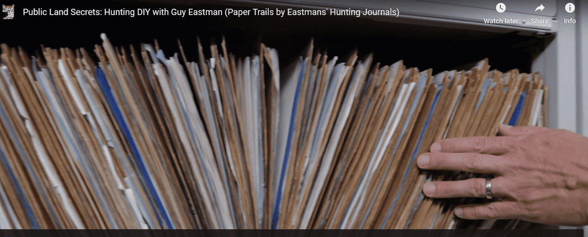
TRCP Video on Expanding Access to Public Lands

6000 or so rights of way in Region 1 FS.

I’ve been traveling the last two weeks (and this week) and was fortunate to attend the Public Lands Foundation annual conference in Cheyenne, Wyoming. Thanks to them for putting on an excellent program! The topic was access and we heard from all kinds of interesting folks, from County Commissioners, to a ranch LLC President, to the State Director. We didn’t talk much about the corner crossing issue. At the Conference, Joel Webster of TRCP (the Theodore Roosevelt Conservation Partnership) had an excellent presentation on access. Joel said that it was equivalent to this video, so here is the video.

It starts kind of slowly (IMHO) but about 8:15 starts talking about easements and the difficulties of figuring out what is public and what isn’t, and how TRCP and others are working on it. It includes an interview with an FS Region 1 Lands person. The video mostly focuses on hunting as hunters (maybe) tend to traverse the landscape more than other kinds of recreationists.

As a recreating person, more access for me is an unalloyed good. At the same time, even hikers impact wildlife. So perhaps it raises the question of how alloyed the good might be in some cases. And of course people, including hunters can exhibit poor behavior, and who pays to clean it up? Nothing in the federal lands business is simple..

And a great big shout-out to FS and BLM lands folks!!!

Over the Weekend – Blue Mtn. blues, Flathead secrets and monumental benefits

I guess this is a bookend to Sharon’s “Friday News Roundup.”


BLUE MOUNTAINS

I recently provided an update on the status of the Blue Mountains forest plan revisions here.   And here’s a little more detail on that, especially on the question of “access.”  (This term gets used for a couple of different things, and this one is about closing roads on national forests rather than creating access across private property to reach public lands.)

One group says its leading the charge to fight for what they call “original rights” is Forest Access for All.  “We defend the rights that we’ve had since Oregon was a territory, free reign where we go and utilize the forests which are public lands,” says Bill Harvey, a group member and former Baker County Commissioner. “A couple decades ago the Forest Service began closing off sections of the forest and that’s when Forest Access for All was formed.” Harvey says his group’s particular ire is at the Wallowa-Whitman National Forest (WWNF), which he claims “have closed thousands of miles of roads in the forest the last twenty years.”

The group also has other “conflicts” with the Forest Service include the need for  more vegetation management, economic benefits of (motorized) recreation, and better public engagement.

“By law right now, we have an open forest. They will admit it, everybody admits it, and it’s in the books, I’ve seen it a million times. It is an open access forest,” says Harvey. “Why in God’s name would we want to give that up? Nothing benefits us to give up our rights that we have currently. We’re not asking for more rights, we’re asking for the existing rights to stay in place.

I’m going to disagree with him on this one, and I hope the Forest Service does, too (although it looks like they could have done a better job of setting the locals straight on this before now).  In 2005, Subpart B of the Travel Management Rule changed the culture of motor vehicle use on roads, trails, and areas from “Open unless closed” to a system of designated routes.  As for why?  The goal was to reduce resource damage from unmanaged motor vehicle use off that road system.


FLATHEAD

Newly revealed emails show that the Flathead National Forest under then supervisor Kurt Steele looked to keep a proposal of a tram up Columbia Mountain from public view for more than year prior to it being first proposed.

Does this sound familiar?  It sounds to me like the “Holland Lake Model” that got the forest supervisor a “promotion” to forest planning.  In this case the Forest properly rejected the proposal as inconsistent with its forest plan (thank you forest plan!).  But it does suggest a pattern of incentives and behavior that may be broader than the Flathead National Forest.

“The process where the public comes into play is when it becomes the NEPA process,” Flathead Forest spokesperson Kira Powell said about the emails.

“Bringing you into the conversation about this potential project on the Flathead NF because it’s coming from investors who apparently have the financial resources to build a tramway, meaning they likely have political savvy also … wrote Keith Lannom, who was deputy regional forester for Region 1 at the time …”

This account offers a window into the role of “political savvy” in Forest Service decision-making.


ORGAN MOUNTAINS – DESERT PEAKS NATIONAL MONUMENT

Since President Barack Obama created the Organ Mountains-Desert Peaks National Monument in 2014, visitation has tripled and the national monument has spurred economic growth in the Las Cruces area as well as other communities near the national monument, according to a new report.

According to this overview, the report looks at the various factors that made this particular monument so successful, including its location relative to population centers and the uses it caters to.  Also local community support.

“We have always recognized that the establishment of the monument was due in large part to the grassroots effort at the local community organizations and individuals,” Melanie Barnes, the state BLM director, said. “And due to this engaged and proud community, the monument has seen an increase in visitation.”

She said the BLM is working on a resource management plan that will address land use and resource protection. The public scoping period for that plan recently ended.


WaPo Essay on Some Access and Population Growth Topics; Plus Colorado 14er and Recreation Use Law

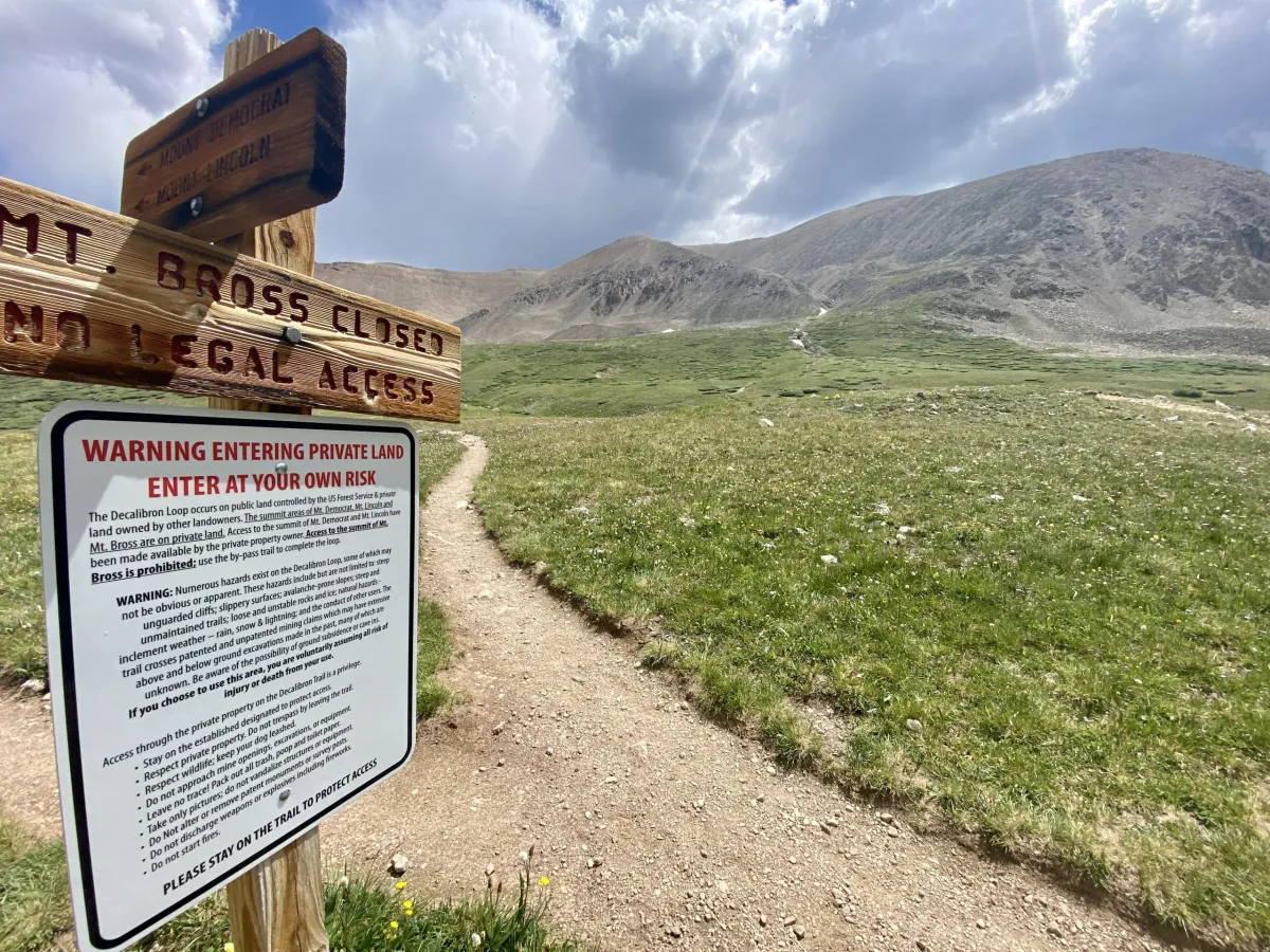
The summits of 14ers Mounts Democrat, Lincoln and Bross are on private property. Landowners have prohibited access to the peaks over liability concerns. A new QR code waiver program will allow hikers to summit Mounts Democrat and Lincoln. (Jason Blevins, The Colorado Sun)

Thanks to TSW readers who submitted this piece for discussion.  It’s an essay that touches on some of our usual topics.

MONTEZUMA COUNTY, Colo. — Hunters and backcountry enthusiasts celebrated in May when a federal district judge in Casper, Wyo., ruled in favor of four hunters, dismissing the civil case brought against them by a wealthy landowner from North Carolina.

The hunters had “corner crossed.” Like checker pieces on a game board, they had moved diagonally from one public land parcel to another. They didn’t touch the North Carolina financier’s 22,045-acre ranch land, everyone agreed, but he maintained that they had entered his airspace and therefore trespassed, to the tune of $7.75 million in damages.

For a moment, it seemed the little guy and advocates for public land access had won. But wait.

In Colorado, an angler lost a similar public/private battle in June when the state Supreme Court ruled in favor of the landowner. The Arkansas River might seem like a historic public way in Colorado, but when a river or stream flows through private land, the court ruled, wading by members of the public is not okay. Meanwhile, in New Mexico, it is okay. In Utah, it depends.

Across the West, courts are reflecting the struggles that residents and visitors face in trying to balance public trust and private land ownership. Some cast it as simple battles of rich vs. poor, or of locals vs. out-of-towners. But it’s not so simple.

As outdoor recreation increasingly fuels economies here and as landowners assert their rights, the clashes — not just in courts but also across streams, fence lines and dirt paths — will continue.

**************

This summer, the county’s newly created Outdoor Recreation Industry Office hosted public workshops to share their findings. Turns out, some 2 million visitors spend more than $100 million annually in our little corner of the West, according to RPI Consulting, the firm hired to do an economic assessment.

While real estate agents, backcountry outfitters and bike shops are celebrating, many of us here struggle to roll with the triple influx of transplants, second-home owners and visitors. Like the courts, when we consider the multifaceted impact of this population flow, we’re conflicted.

While newcomers are nothing new in the West, I feel for communities such as Gallatin County in Montana and Weld County in northern Colorado, whose populations have swelled more than 30 percent between 2010 and 2020, according to the Census Bureau.

My thought. Gallatin County is a different kettle of fish than Weld County, parts of which are expansion of the Colorado Front Range Megalopolis.  But maybe not.

I delved into the comments on the piece; there was some thinking that private landowners  are protected from liability by recreational access laws.  I think this reporting piece by Jason Blevins in the Colorado Sun gets at some details of real-world problems with existing recreational use law in Colorado. As usual, it’s more complicated than many seem to think.

The legislation was in response to a 2019 federal appeals court decision that awarded $7.3 million to a mountain biker who sued the federal government after crashing on a washed out trail at the Air Force Academy. That decision has pushed many landowners to close access, fearing the decision would lead to more lawsuits from injured visitors.

**********

The group is fine with the statute’s exceptions that do not protect landowners who display “gross negligence” or “malicious intent” with dangers on their property, said the coalition’s chairwoman, Anneliese Steel. The group is concerned that the decision in the Air Force Academy case could lead to a lack of protection for landowners who might be aware of hazards but a jury could find they failed to adequately warn visitors about those hazards.

“That is too low of a bar and it has led to a significant chilling effect among landowners that we are seeing right now with these closures,” Steel said. “It’s an unnecessary barrier to access. What’s going on at the Leadville 100, for example, is untenable.”

Trial lawyers who testified against the recreational statute reform legislation in March argued that a single award for an injured visitor in the 45-year history of the law shows that the statute is working. There has not been a surge of lawsuits from injured people suing landowners.

Improving public access to public lands

We have discussed “corner crossings” and other barriers to public land access resulting from land ownership patterns.  Overlaying this is another barrier – availability of information about the extent of public access that does exist.  It turns out there is a lot more existing public access than meets the eye, and some technology and legislation is making more information about it available to public land users.

… the Theodore Roosevelt Conservation Partnership teamed up with onX to quantify the scope of the landlocked public lands problem and offer solutions that would open access to these acres. Since 2018, the team has found a staggering 16.43 million acres of inaccessible public land across 22 states. …  With $27 million from the Land and Water Conservation Fund dedicated to increasing public land access each year, there is an incredible opportunity to address the landlocked public lands problem through strategic land acquisitions and access easements.

We soon learned that the Bureau of Land Management and U.S. Forest Service held roughly 90,000 such access easements—where permanent access to public land has already been secured—but 50,000 were only recorded on paper, stored away in the dusty filing cabinets of local agency offices.  Neither the agencies, nor the public, have ever had a complete digital picture of where there is legal access to our public land. Seeing a clear need for a solution, TRCP experts began talking with lawmakers, which led to introduction of federal legislation called the Modernizing Access to Our Public Land Act.

The MAPLand Act requires federal land management agencies to digitize their paper easements, information about roads and trails and vehicle type on federal land, and the boundaries of areas with federal rules concerning weapon type and shooting. The ultimate goal is to make all of this information readily available to the public.  In April 2022, the MAPLand Act was signed into law.  This means that complete and consistent mapping data about road, trail, and shooting access will be digitally available to hunters and anglers wanting to use their public lands.

Of course funding this in a deficit-reducing environment may not happen as fast as we’d like.

Should ANILCA Access Provisions Apply Outside Alaska? New Case by Wilderness Workshop and Rocky Mountain Wild

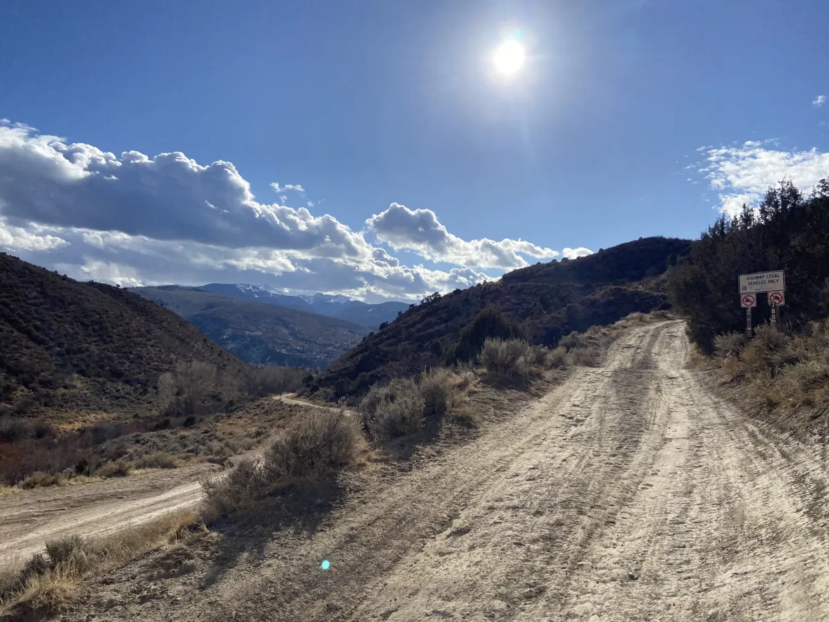
The White River National Forest has approved year-round access and paving of Forest Service Road 780, a summer-only route above Edwards, to provide access to the proposed 19-home Berlaimont Estates project. (Jason Blevins, The Colorado Sun)
This is usually Jon territory, but since it’s in Colorado…
Interesting story by Jason Blevins at the Colorado Sun. Basically the plaintiffs are charging that ANILCA shouldn’t apply outside Alaska. Calling its use by Supervisor Fitzwilliams an “artful dodge” (plaintiffian hyperbole) is kind of silly in my view. TSW veterans of the great Village at Wolf Creek controversy (or as I called it “reasonable access for unreasonable people”) and other access issues across the country will know that Scott didn’t just dream it up.. after all, as the article says, the FS has been using the legal precedent since the 9th Circuit called it in 1981, and is certainly what FS folks are told by their lawyers.

has been deployed many times in the West and in Colorado to force the Forest Service to provide roads across public land to access islands of private property.

To me it says reasonable access and reasonable is in the eye of the beholder. Should this be changed to “not required to provide any kind of access?” Seems to me that that question should go back to Congress. Many of us could help with stories on the difficulties of interpreting “reasonable,” and ideas for useful clarifications. That’s one reason I prefer not to let courts handle these things..they can say what’s wrong, but can’t tell us what’s right, or what could work better.

Extra points to Jason for explaining this complex stuff accurately (or at least as far as I can tell) and attaching the complaint and a link to the precedent case Montana Wilderness Association v. US Forest Service. And Bob Zybach and others will appreciate that he spelled out how to pronounce FLPMA and ANILCA. If you appreciate his work, please consider sending him a note. Remember that old management idea “catch people doing something right”?

You don’t hear much about FLPMA and the Forest Service, since FLPMA is generally regarded as a BLM statute, based on the definition of public lands in it. See here.

This Complaint involves Forest Service decisions regarding National Forest System lands in Western Colorado. Defendants applied the mandatory access provisions of the Alaska National Interest Lands Conservation Act of 1980, 16 U.S.C. §§ 3101 et seq. (“ANILCA”) instead of the discretionary access provisions in the Federal Land and Policy Management Act of 1976 (“FLPMA”) that apply to federal public lands outside of Alaska, including National Forests. 43 U.S.C. § 1740 of 1976 (“Secretary of Agriculture, with respect to lands within the National Forest System, shall promulgate rules and regulations to carry out the purposes of [FLPMA]” when considering access requests.). The National Forest Management Act of 1976, 16 U.S.C. § 1600 et seq., (“NFMA”) also applies to the National Forests, but because access issues were inadvertently omitted from NFMA, the access provisions involving National Forests were included in FLPMA. Applying ANILCA’s Alaska-specific provisions to an access request
involving the National Forest in the Lower 48 States is contrary to the plain language of ANILCA and FLPMA.

It sounds like the FS was supposed to promulgate rules in NFMA.. did they? Lands people out there?

Check out the judges’ decision in that case, which goes back to mind-curdling details of the legislative history. And it returns to Colorado.

The appellees, however, have uncovered subsequent legislative history that, given the closeness of the issue, is decisive. Three weeks after Congress passed the Alaska Lands Act, a House-Senate Conference Committee considering the Colorado Wilderness Act interpreted § 1323 of the Alaska Lands Act as applying nation-wide:

Section 7 of the Senate amendment contains a provision pertaining to access to non-Federally owned lands within national forest wilderness areas in Colorado. The House bill has no such provision.
The conferees agreed to delete the section because similar language has already passed Congress in Section 1323 of the Alaska National Interest Lands Conservation Act.

Should be an interesting case..

The specific White River case seems to be about a summer only unpaved road being changed to an all-season paved road. We discussed it here, but it seemed like that story was used to take a swipe at Trump-era NEPA regs. And yet, here we still are…

Why Is Booz Allen Renting Us Back Our Own National Parks? (and BLM and Forest Service, 13 Agencies Total): Matt Stoller


Thanks to the Hotshot Wakeup Person for this podcast and the person who contacted him with this piece posted at ZeroHedge… many of us would not be reading financial media outlets.   It traces back to this Substack piece by a fellow named Matt Stoler.  Matt, not being one of our community, talks about parks a lot, but it definitely includes  the Forest Service and BLM (including seasonally relevant Christmas tree permits on the Arapaho-Roosevelt).

Stoller begins with a discussion of historical political philosophy/economics with an aside to Tammany Hall which Anonymous and others might enjoy.

It would be interesting to have more history on Recreation.gov from those involved.  I remember it was part of the same E-gov initiative that produced PALS-  as we worked on it, the idea was “how can we make government run better and serve its citizens better by automating processes.”  We assumed at the time that the government would be paying for egov.  Also it would be interesting to hear the other side of the story.  I recently renewed my passport using a new online service through the State Department. Perhaps they should use the same financial model for passports. What could go wrong?

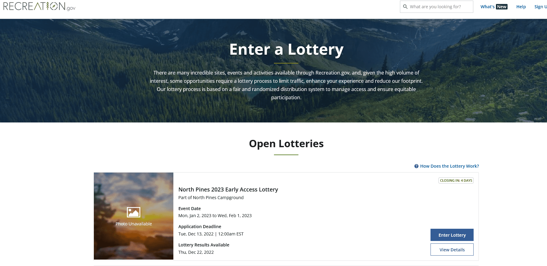
Like many, I entered the lottery for that BLM area and didn’t realize the bucks were actually going to a contractor.

You can do a lot at Recreation.gov. You can sign up for a pass to cut down a Christmas tree on the Arapaho and Roosevelt National Forests, get permits to fly-fishing, rifle hunting or target practice at thousands of sites, or even secure a tour at the National Archives in Washington, D.C. There are dozens of lotteries to enter for different parks and lands that are hard to access. And all of them come with service fees attached, fees that go directly to Booz Allen, which built Recreation.gov. The deeper you go, the more interesting the gatekeeping. As one angry writer found out after waiting on hold and being transferred multiple times, the answer is that Booz Allen “actually sets the Recreation.gov fees for themselves.”

….

Following the U.S. Digital Service’s playbook is what led the government to bid out and allow the creation of Recreation.gov, with its weird and corrupt fee structure. In 2017, Booz Allen got a 10-year $182 million contract to consolidate all booking for public lands and waters, with 13 separate agencies participating, from the Bureau of Land Management to the National Oceanic & Atmospheric Administration to the National Park Service to the Smithsonian Institution to the Tennessee Valley Authority to the US Forest Service.

The funding structure of the site is exactly what George Washington Plunkitt would design. Though there’s a ten year contract with significant financial outlays, Booz Allen says the project was built “at no cost to the federal government.”In the contractor’s words, “the unique contractual agreement is a transaction-based fee model that lets the government and Booz Allen share in risk, reward, results, and impact.” In other words, Booz Allen gets to keep the fees charged to users who want access to national parks. Part of the deal was that Booz Allen would get the right to negotiate fees to third party sites that want access to data on Federal lands.

It’s a bit hard to tell how much Booz Allen was paid to set up the site. Documents suggest the firm received a lot of money to do so, but it’s also possible that total amount was the anticipated financial return. I wrote to Recreation.gov team leader Julie McPherson at Booz Allen to find out what they were paid to build the site, and I haven’t heard back. Regardless, there’s a lot of money involved. For instance, as one camper noted, in just one lottery to hike Mount Whitney, more than 16,000 people applied, and only a third got in. Yet everyone paid the $6 registration fee, which means the gross income for that single location is over $100,000. There’s nothing criminal about this scheme, but it is a form of Honest Graft, or of handing a Ticketmaster-like firm control of our national park

In 2020, an avid hiker named Thomas Kotab sued the Bureau of Land Management over the $2 “processing fee it charges to access the mandatory online reservation system to visit the Red Rock Canyon Conservation Area.” He claimed, among other things, that the Federal Lands Recreation Enhancement Act mandated that this fee was unlawful, because it had not gone through the notice-and-comment period required by the act. Kotab, an electrical engineer by training, is one of those ass-kickers in America, who just goes after a grift because, well, it’s just wrong.

A few years later, a judge named Jennifer A. Dorsey, appointed by Obama in 2013, agreed with him. She looked at the statute and found that Congress authorized the charging of recreation fees for the purpose of taking care and using Federal lands, not administrative fees that compensated third parties. As such, Booz Allen’s ability to set its own prices was inconsistent with the law mandating the public’s right to comment on what we are charged for using our own land.

The BLM sought to appeal, but then dropped it in July. Rather than a bitter procedural argument about classifying fees, the government and Booz Allen have decided they’ll just go through the annoying process of having the public comment on Booz Allen’s compensation, and then ignore us using their phony advisory council process. Here, for instance, is the Mojave-Southern Great Basin Resource Advisory Council Meeting in August simply proposing to substitute new standard amenity fees “equal to the associated Recreation.gov reservation service fee.”

One notable part of this saga is that technically, the BLM and Booz Allen owe refunds to everyone who went through Red Rock Canyon’s timed entry system from 2020-2022, but they’ll probably ignore that and steal the money. That verges into actual graft from the ‘honest’ type, but I suspect Plunkitt did that as well from time to time.

Stoller also recommends some fixes.

And yet, it’s not over. The Federal Lands Recreation Enhancement Act authorization runs out in October of 2023, which means that Congress has to renew it. Hopefully, an interested member of Congress who loves Federal lands could actually tighten the definitions here, and find a way to stop Booz Allen and these 13 government agencies from engaging in this minor theft via junk fees. It wouldn’t be hard, and it would be fun to force a bunch of government agencies to actually do their job and either take over the site themselves or pay Booz Allen a fee for its service. (Another path would be Joe Biden, through his anti-junk fee initiative, simply asserting through the White House Competition Council to the 13 different agencies that they end Booz Allen’s practice of charging these kinds of fees.)

The Latest on the Wyoming Corner Crossing Federal Lands Access Case

Article in Wyofile by Angus Thuermer. Lots of legal stuff.

Aside from the routine practice of not commenting on pending or ongoing investigations, U.S. Attorney Nick Vassallo’s office couldn’t immediately explain the investigative process and what or whose allegations it probes. Eshelman’s attorney, along with the BLM, also did not respond to inquiries.

1885 law

In a July 29 filing, attorney Semerad defended his clients against Eshelman’s civil claim.

“Plaintiff [Iron Bar Holdings] is now violating and has, at all times relevant to its claims in the Complaint, violated existing federal law … by unlawfully enclosing public lands and/or by using force, threats, intimidation, and other unlawful means to prevent or obstruct Defendants, as members of the public, from peaceably entering upon, freely passing over or through, or freely traveling over or through the public lands,” the document reads.

With the UIA, Congress protected legal access to federal property, especially in the West, by restricting landowners’ actions and structures. How and whether the UIA applies in the civil case could have a bearing on public access to some 8.3 million acres in the West, 2.4 million acres in Wyoming alone.

A photograph purporting to show the corner in question. (GoFundMe)

That’s the amount of acreage considered by the digital mapping company onX to be “corner-locked” by any definition that corner crossing is illegal.


*****************

Obstructing transit

A section of the 1885 UIA titled “Obstruction of settlement on or transit over public lands” prohibits landowners from blocking “…any person from peaceably entering upon or establishing a settlement or residence on any tract of public land…” No person “shall prevent or obstruct free passage or transit over or through the public lands,” the UIA states.

But another clause appears to protect landowners, stating that the law “shall not be held to affect the right or title of persons, who have gone upon, improved, or occupied said lands under the land laws of the United States, claiming title thereto, in good faith.”

The federal law has teeth, if prosecutors choose to use them. Any “owner, part owner, or agent, or who shall aid, abet, counsel, advise, or assist in any violation” of the act who is found guilty can be fined up to $1,000, imprisoned for a year, or both.

From the BLM’s perspective, the UIA does not protect corner crossing as a means to access public land.

“There is no specific state or federal laws regarding corner crossings,” the agency states in a pamphlet that appears to have been updated in 2013. “Corner crossings in the checkerboard land pattern area or elsewhere are not considered legal public access.”

Courts could decide whether the BLM policy and the UIA are in conflict.