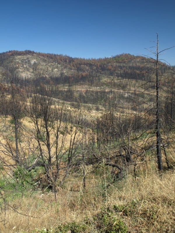
The media does like to sensationalize events like the Rim Fire, often implying that the lands have been “destroyed”. The Rim Fire is so huge and burned across so many differing kinds of vegetation that you cannot summarize too much. Even my own “sampling” from the access roads doesn’t cover very much of the impacts and effects of a 250,000 acre wildfire.
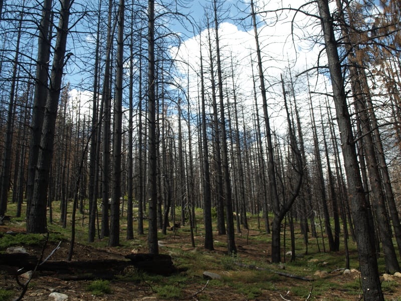
Much of the wildfire burned in plantations generated from previous wildfires. Here is an example of one of those plantations that wasn’t thinned. I can see why it wasn’t but, maybe a “pre-commercial thinning” kind of task could have been included into one of the other commercial plantation thinning projects that I worked on, back in 2000.
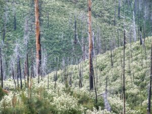
In the same area were blocks of land that were left for “Mother Nature”, after the early 70’s Granite Fire. Here is what a 40 year old brushfield looks like. Those blocks are choked with deer brush, whitethorn and manzanita, with very few conifers, and fewer oaks than the “natural stands” (as they called the unburned portions).
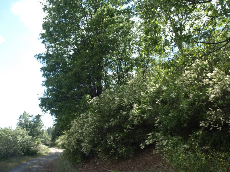
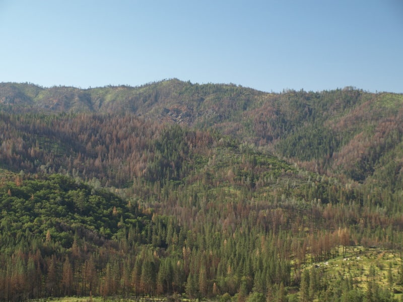
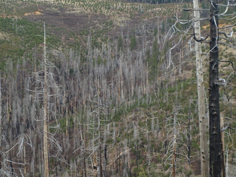
As you can see, sometimes there is a fine line between a total plantation loss and one that has survived a wildfire. This is one of the thinned plantations, near Cherry Lake.
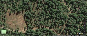
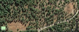
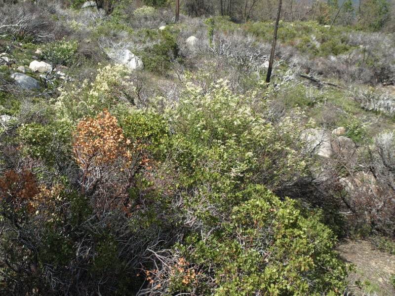
Here is another example of an “old growth” brushfield. While this one didn’t burn much, there are many examples of them burning at moderate to high intensities. Looking at Google Maps, I can find examples where the flames from the brushfields were pushed into the thinned plantations. The Forest Service should be treating those old brushfields with prescribed fire, instead of “whatever happens”.
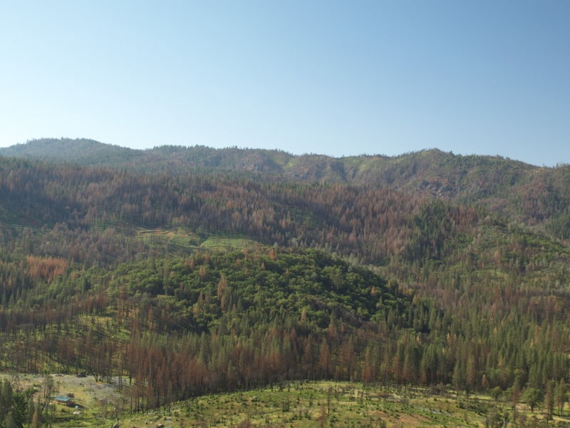
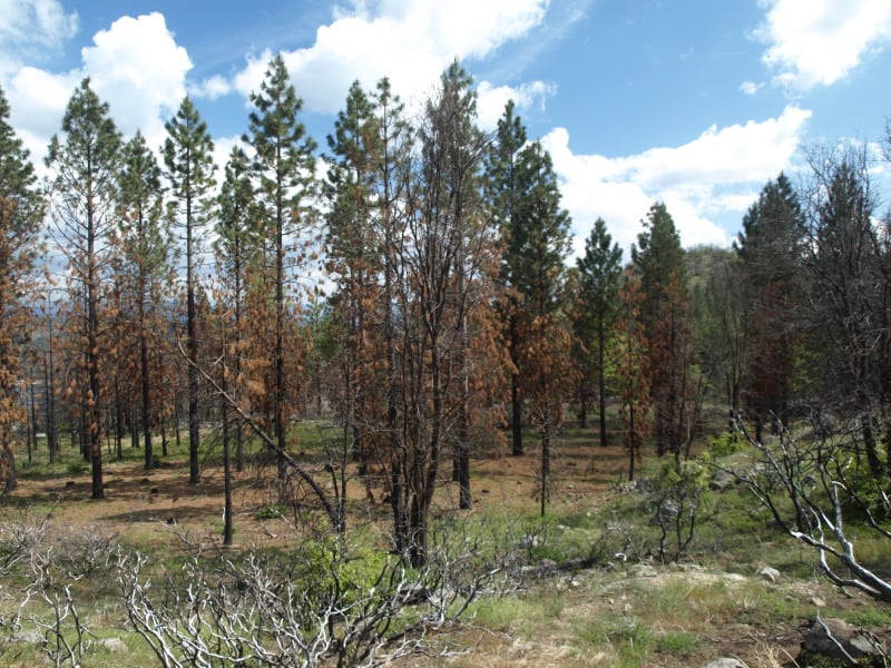
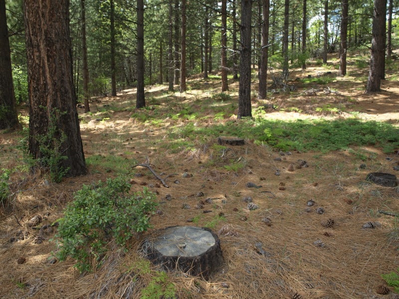
This unburned stand, within the fire perimeter, is a good example of the work we did back in 2000. I don’t really know of any other reason why this large patch, near Cherry Lake, didn’t burn
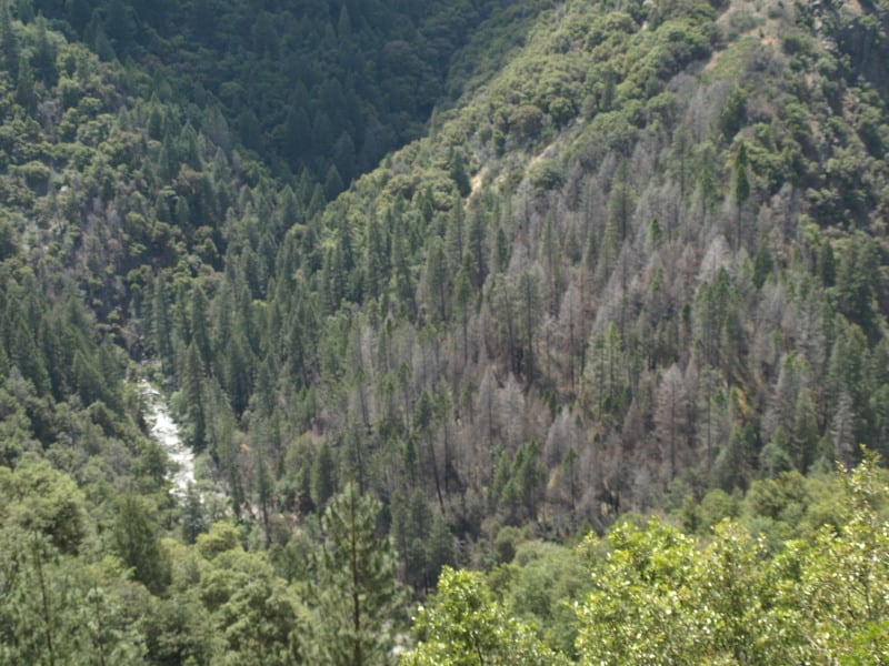
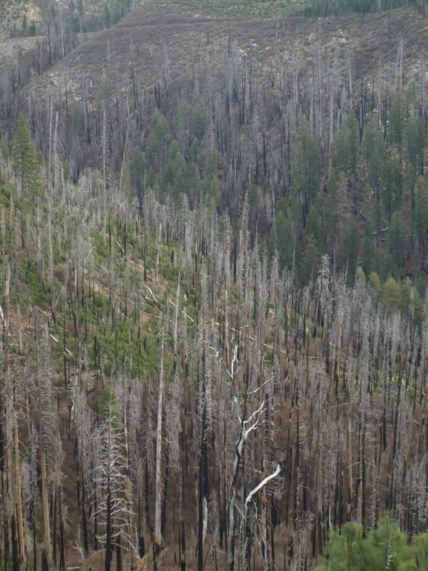
The Clavey River, long-cherished by the local eco-community, acted like a conduit for the Rim Fire, as it burned so many acres in just one day. However, you can see that the intensity and damage is rather minimal. There is a fork in the river, down there, and the main fork of the fire went up that way, finding more conifers to burn. (It also found the big block of Sierra Pacific Industries lands.) I found it very interesting that the isolated pockets of Douglas-firs had very high mortality, but only a low-to-moderate intensity.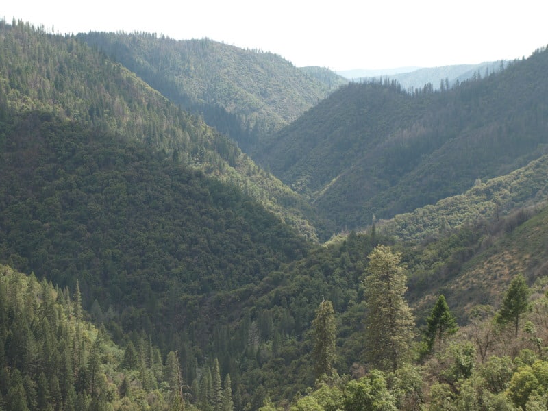
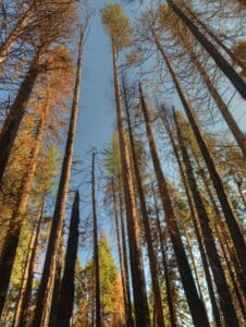
Here is one of those pockets, alongside the Clavey River. In the past, this kind of pocket would be thrown into a large helicopter salvage project.
