Tales of two trees

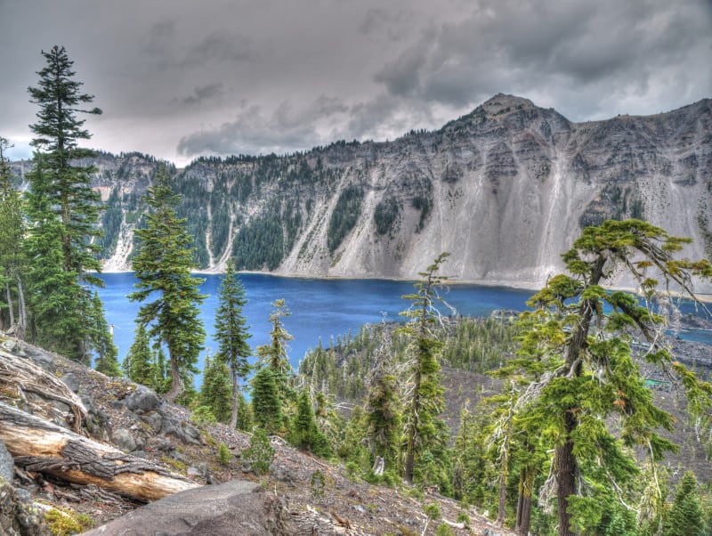
Whitebark pine is a candidate for listing under the Endangered Species Act (meaning that listing is warranted).  The U. S. Fish and Wildlife (and tree) Service has recently downgraded its priority for listing from 2nd priority to 8th.

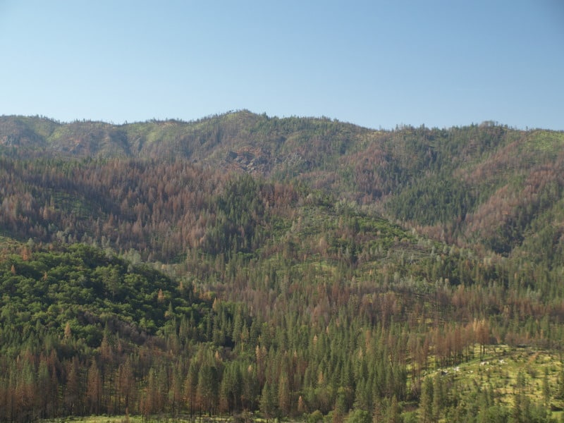
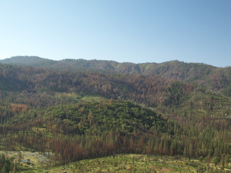
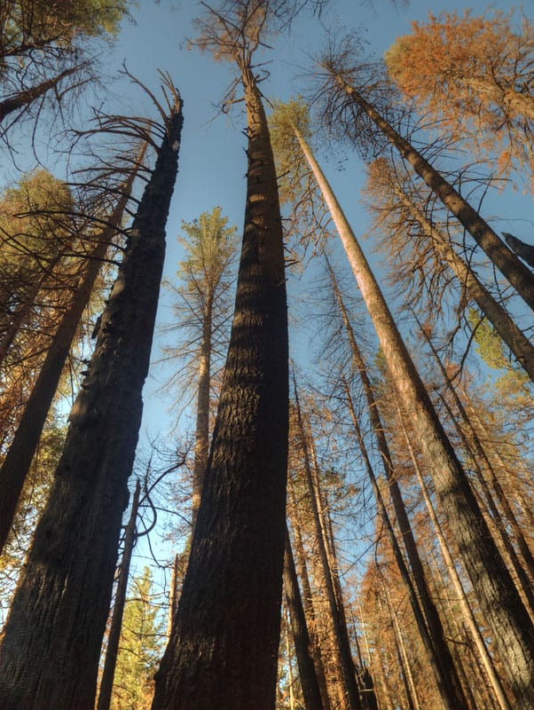
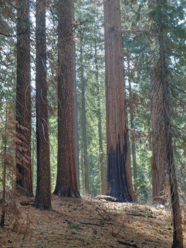
The primary threat to the species is from disease in the form of the nonnative white pine blister rust and its interaction with other threats…  However, the overall magnitude of threat to whitebark pine is somewhat diminished given the current absence of epidemic levels of mountain pine beetle, and because of this, individuals with genetic resistance to white pine blister rust likely have a higher probability of survival… Overall, the threats to the species are ongoing, and therefore imminent, and are now moderate in magnitude.

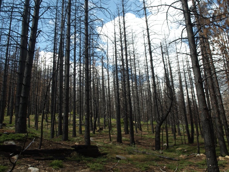
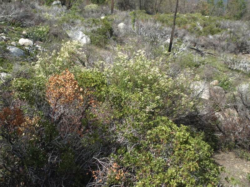
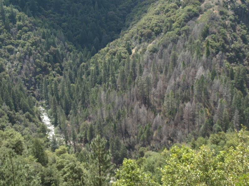
White ash is not a candidate for listing under the Endangered Species Act.  However, it is threatened with extinction as result of the introduced emerald ash borer.  The Forest Service is applying euthanasia treatments to the Allegheny National Forest.

The Emerald Ash Borer Remediation project would regenerate stands that have been or will be affected by non-native invasive insects. The purpose of this project is to manage the proposed treatment areas on the Bradford Ranger District to achieve a diversity of desired forest trees, a healthy and resilient ecosystem, and diminish the risks and consequences of forest health threats.

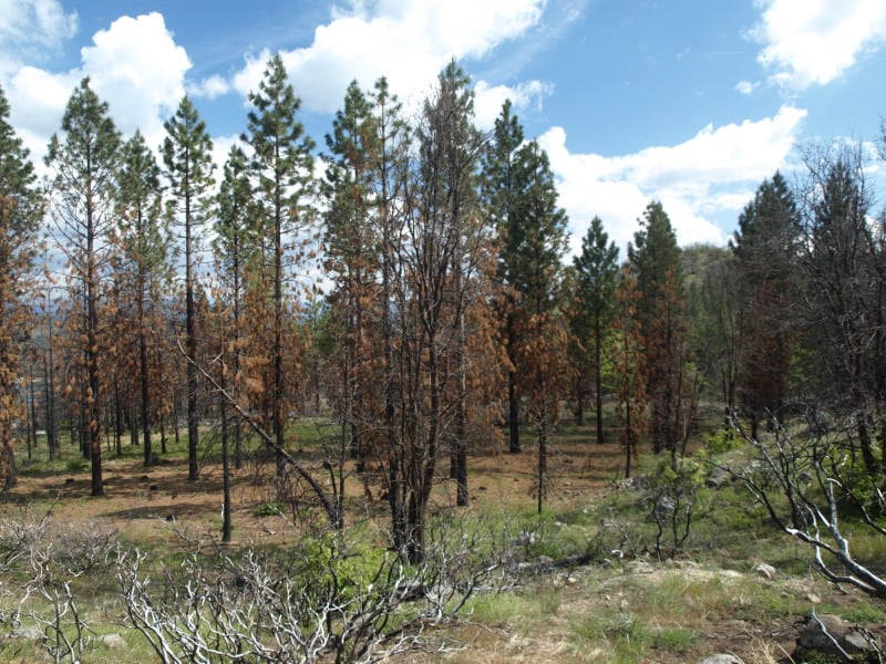
Desired tree seedling species do not develop in sufficient quantities on the Allegheny National Forest without intensive forest management. Interfering understory vegetation generally outcompetes tree seedlings. It is a result of decades of selective deer browsing (Horsley, Stout, deCalesta 2003). Unless management actions create suitable conditions for the establishment and development of desired tree seedlings, important ecological structure, function and processes will not be maintained in stands where white ash, American beech and Eastern hemlock individually or collectively make up the majority of the community.

Managing and regenerating declining stands now will promote natural regeneration of desired trees. It will sustain healthy, well-stocked forested stands over the long-term. This project is designed to address project area forest health concerns by regenerating stands before natural regeneration opportunities are lost.

Projected mortality is 99% of the affected trees without treatment (presumably it’s 100% with the treatment).  They don’t say what “desired trees” they are regenerating, and I can’t make much sense out of “natural regeneration” from the trees that would be “lost” (since they will be logged).  It looks to me like they are making sure there are no survivors, and if this is practiced across the range of the white ash, it would obviously become a candidate for listing.  Is there a better way?  Especially in the two old growth management areas where some of this project would occur, where making money off of timber harvest is not part of the purpose?  (Maybe killing deer would help – how about reintroducing wolves?)

Here’s the story that got my attention.  It mentions the need for a forest plan amendment, but the Forest Service documents do not mention this (and it would have to be part of the scoping package).

Massive Crater Lake Wilderness Area Fantasy

Oregon Wild has proposed a massive half million acre Wilderness Area, partly to “protect” Crater Lake. The Klamath County Commissioners are saying no, with fears that summer fires would affect public health, and that those unhealthy forests need active management.

P9159024_tonemapped-web

Here is a map of what Oregon Wild wants done.

Rim Fire Images

The media does like to sensationalize events like the Rim Fire, often implying that the lands have been “destroyed”. The Rim Fire is so huge and burned across so many differing kinds of vegetation that you cannot summarize too much. Even my own “sampling” from the access roads doesn’t cover very much of the impacts and effects of a 250,000 acre wildfire.

Much of the wildfire burned in plantations generated from previous wildfires. Here is an example of one of those plantations that wasn’t thinned. I can see why it wasn’t but, maybe a “pre-commercial thinning” kind of task could have been included into one of the other commercial plantation thinning projects that I worked on, back in 2000.

P9206850-web

In the same area were blocks of land that were left for “Mother Nature”, after the early 70’s Granite Fire. Here is what a 40 year old brushfield looks like. Those blocks are choked with deer brush, whitethorn and manzanita, with very few conifers, and fewer oaks than the “natural stands” (as they called the unburned portions).

P9206847-web

As you can see, sometimes there is a fine line between a total plantation loss and one that has survived a wildfire. This is one of the thinned plantations, near Cherry Lake.

P9206842-web

Here is another example of an “old growth” brushfield. While this one didn’t burn much, there are many examples of them burning at moderate to high intensities. Looking at Google Maps, I can find examples where the flames from the brushfields were pushed into the thinned plantations. The Forest Service should be treating those old brushfields with prescribed fire, instead of “whatever happens”.

P9206833-web

This unburned stand, within the fire perimeter, is a good example of the work we did back in 2000. I don’t really know of any other reason why this large patch, near Cherry Lake, didn’t burn

P9206819-web

The Clavey River, long-cherished by the local eco-community, acted like a conduit for the Rim Fire, as it burned so many acres in just one day. However, you can see that the intensity and damage is rather minimal. There is a fork in the river, down there, and the main fork of the fire went up that way, finding more conifers to burn. (It also found the big block of Sierra Pacific Industries lands.) I found it very interesting that the isolated pockets of Douglas-firs had very high mortality, but only a low-to-moderate intensity.P9206804-web

Here is one of those pockets, alongside the Clavey River. In the past, this kind of pocket would be thrown into a large helicopter salvage project.

P9206800-web

The Rim Fire Salvage Seems Done

My last expedition included another trip to Yosemite, and the Rim Fire. I DO think that there are enough dead trees for the owls to “enjoy” in their respite from breeding. Then again, maybe this new “Circle of Life” will provide more food, in the form of baby owls, to larger predators?

P9036671-web

You might also notice the ongoing beetle kills, which will increase when spring and summer come into play. This next picture shows the little bit of harvesting that was done along Highway 120. You can see the drainage where the Highway sits, and you can also see how wide the hazard tree units are. The barren area in the foreground is/was chaparral.

P9036665-web

I am glad that the Forest Service “took my advice” about getting the work done before there was any chance to appeal to a more liberal….errr….. higher court. However, is THIS what we want our salvaged wildfires to look like? This area should be ready for re-burn in a few short years. Also, be reminded that two of the plantation salvage projects did not sell, despite the prompt action by the Forest Service. My guess is that SPI was low-balling the Forest Service to get those smaller trees at less than “base rates”. That means that the prices remain the same (rock bottom) but, some of the non-commercial treatments would be dropped. It appears that the Forest Service wasn’t willing to go as low as SPI wanted. So, those perfectly good salvage trees will be left, “for wildlife”, it appears.

Update From the Yosemite “Laboratory”

Here is a stitched-together panorama from the Foresta area of Yosemite National Park. I’ll have to pair it up with my historical version, one of these days. Restoration processes seem to be minimal, as re-burns continue to ravage the landscape, killing more old growth forests and eliminating more seed sources. Even the brush is dying off, due to a lack of organic matter in some of those granitic soils. With the 200-400 year old trees gone, we have to remember that these stand replacement fires, in this elevational band of the Sierra Nevada, weren’t very common before the 1800’s.

Foresta-panorama-crop-webYes, it IS important that we learn our lessons from the “Whatever Happens” management style of the Park Service. Indeed, we should really be looking closely at the 40,000+ acres of old growth mortality from the Rim Fire, too! Re-burns could start impacting the Rim Fire area, beginning this fire season.

Warming Temps Not the Only Factor in Beetle Outbreaks

bbforest-map

Thanks to Bob Berwyn for this interesting post! here is a link to it and below is an excerpt.

“This amount of warming could be the difference between pests surviving in areas that were historically unfavorable and could permit more severe and prolonged pest outbreaks in regions where historical outbreaks were halted by more frequent cold bouts,” said Aaron Weed, a former postdoctoral researcher at Dartmouth and now an ecologist with the National Park Service.

Despite the trend for warming winters across western U.S. forests, not all beetle populations between 1997 and 2010 have responded to winter warming. In the 11 coldest ecoregions, winter temperatures lethal to the mountain pine beetle have become less frequent since the 1980s and beetle-caused tree mortality has increased significantly in these regions.

But in the 12 warmer ecoregions, recent beetle epidemics cannot be attributed to warming winters because earlier winters were rarely cold enough to kill the beetles.

Although winter warming has been occurring across the western United States for decades, it has only permitted mountain pine beetle outbreaks in regions where winters historically killed more than 50 percent of the beetles — primarily in the Middle Rockies (Idaho, Montana and Wyoming), the Blue Mountains in eastern Oregon and northern Colorado. In these regions, winter temperatures during the 1980s were more likely than in recent years to drop below the lower lethal temperatures for mountain pine beetles.

But in coastal and southern regions, winters dating back to 1980 were never cold enough to cause substantial beetle mortality. However, these warmer regions are undergoing sustained and, in some forests, increasing impacts from beetles.

Forest managers need to consider other factors, including forestry practices that have influenced forest composition, the study concluded.

Here is the link to the study in Landscape Ecology.

Of course, may of us thought the situation (not exactly a forestry practice since our public western forests aren’t really managed forests) that leads to “lots of contiguous old lodgepole” could be a factor, at least with MPB.

Yosemite Visit

I recently spent three days in the Yosemite National Park area, shooting each day, in different locations. Yes, I did find a marvelous group of dispersed camping sites (free!) within the Rim Fire perimeter. Of course, they were there before the fire but, those spots still look great. Yes, there are also patches of high-intensity burn along Hardin Flat Road (the old highway) that have been salvage logged, too.

One of the places I went to, inside the park, was a large patch of high-intensity burn, all around Hodgdon Meadow. The campground wasn’t really impacted much by the fire. All around the fringe of the large meadow were green and healthy trees. They should be a good source of seeds, and it looks like most sugar pines had an excellent “cone year”. The problem will be the inevitable re-burns, with heavy fuels from trees like these:

OLYMPUS DIGITAL CAMERA

Yes, there are some tufts of green up there but, will the trees be able to fight off drought and bugs, with damaged cambium? Probably not. Yosemite has become a giant incubation “Motherland” for bark beetles, who don’t stay inside the lines on the map. However, I would recommend Hodgdon Meadow Campground (right near the Highway 120 Entrance Station) for your visit to Yosemite. There is something very primitive to camping under such giant trees (non-Sequoias).

Speaking of Giant Sequoias, I dropped into the Tuolumne Grove, to see how the Rim Fire impacted the area. I knew that firefighters had set up sprinklers, and I could tell by looking at the Google Maps view that there wasn’t much intensity there. This area (pictured below) was about as scorched as much as I could find, along the trails. Certainly, nothing to worry about. I’ll bet there is more insect mortality in the area than fire mortality. I’m sure that some will say they wished it had burned a little more intensely. Most of the grove didn’t burn nearly as well as in this picture.

P9204060_tonemapped-web

I went to Foresta, to view last year’s re-burn and the progress of “recovery” of the Yosemite side. Here are some views of that situation:

P9193965_tonemapped-web

Nine years after the re-burn, and 25 years after the original A-Rock Fire, this area remains desolate. Even brush is having a hard time growing, in soils with very little organic matter. The soils dry out and growth stops, during the hot summers.

P9193947_tonemapped-web

Looking westward, you can see last year’s re-burn, mostly on the Forest Service lands outside the Park. I worked on the original A-Rock salvage project, way back in 1991. I still have some Kodachrome slides from those days, up on that long ridge. The snags in this view probably survived the A-Rock Fire but not the Big Meadow Fire.

Yes, I did go into Yosemite Valley and found some uncrowded hiking along the Merced River.

P9214119_tonemapped-web

I did see some significant pine beetle patches, in Yosemite Valley. It seems like a “normal” level of bark beetles, considering the horrible drought, and all.

P9214227_tonemapped-web

There is a lot more to see over on my Facebook page www.facebook.com/LarryHarrellFotoware

The Tahoe Basin

Lake Tahoe would probably be a National Park, by now, if the Comstock Lode had never been found. There was clearcutting right down to the lakshore, for mining timbers, in the silver mines. Incline Village was named for the switchback road that transported logs to a flume that went all the way down to the Washoe Lake area, thousands of feet below.

Today, there is very little “logging” next to all that blue Tahoe lake water. Newspapers especially like to describe the basin as “pristine”, apparently not knowing the actual meaning of the word.

P9123090-web

Much of the Lake Tahoe Basin is “de facto” Wilderness, with very little management happening, even when wildfires occur. Residents seem to be in denial about wildfire issues, not remembering the last drought that decimated their forests. However, it is easy enough to see the results of the last bark beetle infestation, in the form of accumulated fuels far beyond what is “natural”. Many areas of forest mortality were left “to recover”, on their own. Well, sometimes “recovery” takes decades or even centuries, as long as humans don’t intervene. That might also include multiple wildfires, opening the ground to accelerated erosion and having clarity-declining sediments flowing into Lake Tahoe.

P9123100-web

Ironically, the lake’s level isn’t all that far down, thanks to the lobbying of lakeshore land owners, putting pressure on water regulators. That can only go so far, as Reno area interests need more water to keep growing and thriving. We’ll just have to see how the battle goes, as the Truckee River drops further and further.

Rim Fire Update

Apparently, enough of the hazard trees within the Rim Fire on the Stanislaus NF have been cut so that the travel ban has finally been lifted, after more than a year. I heard one report that says that the litigation has failed at the District Court level, losing their pleas to stop the logging three times. The article below includes the Appeals Court but, I doubt that an appeal has been seen in court yet. It seems too soon after the District Court decision for the appeal to be decided.

http://www.calforests.org/rim-fire-update-final-motion-halt-restoration-forestry-rim-fire-denied/

P9232907-web


Since the Rim Fire tore through the area and devoured over 250, 000 square miles of National, State and private forested land, the community has come together to put together a solution with positive environmental, economical and social sense. The whole effort to restore forests has been very successful due to cooperation of a diverse group of individuals, organizations and government agencies.

(Edit: Thanks to Matt for pointing out the acres/square miles error. That should be 250,000 acres.)

With a monster storm approaching California, we should be seeing some catastrophic erosion coming from the Rim and King Fire areas. Of course, very little can be done to prevent erosion on the steep slopes of the canyons with high burn intensity. Standing snags tend to channel water, while branches and twigs on the ground can hold back a surprising amount of soil. This flood event would have been great to document through repeat photography but, it appears that opportunity will be lost, too.

Bark beetle activity has also spiked where I live, northwest of the Rim Fire.

Beetle killed trees impede elk and elk hunters

Mountain pine beetles decimated much of the Medicine Bow National Forest. Years after the height of beetle activity, dead trees are beginning to fall. A Wyoming Game and Fish study is looking at how those down trees are changing elk movement in the Sierra Madres mountains. (photo by Joe Riis/U.S. Forest Service – click to enlarge)
Mountain pine beetles decimated much of the Medicine Bow National Forest. Years after the height of beetle activity, dead trees are beginning to fall. A Wyoming Game and Fish study is looking at how those down trees are changing elk movement in the Sierra Madres mountains. (photo by Joe Riis/U.S. Forest Service – click the original on the news webpage to enlarge)

Derek send this article.

Here is an excerpt:

A Wyoming Game and Fish study is investigating how the aftermath of the mountain pine beetle epidemic is impacting elk and hunter movement in the Sierra Madre range on the Medicine Bow National Forest. The study is the first of its kind, and the data collected could be used for managing forests across the West, said Tony Mong, a senior wildlife biologist with Wyoming Game and Fish. –