Yes, we could move everyone out of the Interior West, I suppose, and hope that climate change would bow out long enough to return to “natural” fire regimes denaturalized by climate change, but that doesn’t seem very realistic. Other folks are dealing with making their communities fire resilient and working on evacuation.
Those of us who observed the Marshall Fire in Boulder County, Colorado, noticed what seemed to be a tension between current urban/suburban planning ideas (densification and taking public transportation) and dealing with wildfire (houses further apart and individual vehicles for evacuation). Meanwhile people like living where they do. This extensive article from the Colorado Springs Gazette talks about efforts to plan better for wildfire evacuations and also touches upon mitigation treatments. It’s interesting to me that fuel treatments don’t seem to be controversial here.. for one thing timber industry doesn’t make a good enemy, and most of these projects are on private forest land.
There’s quite a bit of interest in this article. I think you can get it without a paywall here, but if not, please let me know. You might also be able to get it here. It’s interesting as we’ve been discussing climate change and prescribed fires, how this reporter characterizes the “equilibrium”.
***************************
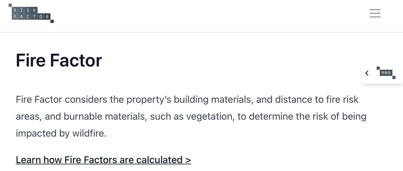
Whereas a metric like the Forest Service’s “burn probability” estimates the likelihood that an area will burn in a wildfire, but does so without regard to where people might be affected, “exposure” shows where wildfire risk collides with communities.
Within the Forest Service’s five-state Rocky Mountain Region, Evergreen has the highest exposure risk. The second- and third-highest-risk areas in the region are the planning zones that occupy the rest of the Front Range between Evergreen and Colorado Springs. In El Paso County, the high-risk areas include Manitou Springs, the Ridgecrest area northeast of Garden of the Gods, and the Broadmoor neighborhood. Although their populations are smaller, some pockets closer to Boulder and Fort Collins also show high risk, around Estes Park and Cripple Creek and north of Lyons.
Population data from the U.S. Census Bureau, combined with geospatial roadway data from Open Street Maps, shows that more than 35,000 residents — not accounting for seasonal or weekend visitors — in the state’s highest exposure area, in Evergreen, have only a few possible evacuation routes, putting the number of people per lanes of egress routes near or above the number in Paradise, Calif., where residents burned in their cars trying to evacuate, depending on the particulars of a future fire’s location and behavior. Estimates that include more of the outlying areas put the possible evacuation total as high as 60,000 people for the area.
A computer program designed to simulate evacuations, called the Fast Local Emergency Evacuation Times Model (FLEET), operated by Old Dominion University in Virginia, similarly shows the Evergreen area has the longest evacuation time for wildfire-prone parts of the state.
Roxborough Park and Woodland Park are not far behind Evergreen, either for computer-simulated evacuation times or the simpler people-per-lane of evacuation rates ratio.
“There’s a heightened awareness of the wildfire danger here,” Chuck Newby, a resident of South Evergreen who was recently elected to the Elk Creek Fire Board in the southwest portion of the larger Evergreen area.
Conversations he’s had with other residents, he said, are more and more often about evacuations.
“After seeing the Camp Fire, East Troublesome, Marshall, these major fires,” Newby said, “you have people asking what would happen? What would happen if this happened here? What would I do?”
The buzz, flutter and gurgle of chainsaws pierced an otherwise calm June afternoon, emanating from the home of Rich Mancuso, in the Echo Hills neighborhood near the center of Evergreen.

Mancuso, who grew up in Staten Island, N.Y., and moved to Evergreen in 1980, watched as the crew from Lam Tree Services strategically felled trees on his property and prepared them for disposal.
Mancuso said he had his property’s vegetation thinned in order to keep his homeowners’ insurance, after his agent told him about the company’s new approach to proper fire mitigation in the high-risk area.
“They told us to do it,” Mancuso said, “or they would cancel our policy.”
The science behind mitigating fire-prone vegetation echoes the natural cycle of wildland fire and puts a mirror to the now broadly panned fire-suppression strategy of forest management deployed in the West for more than a century.
Without human intervention, wildfires burn through forests, destroying saplings but sparing the oldest and largest trees, which has the multiple effects of re-nutrifying the soil, clearing space around and strengthening the bark of the forests’ largest trees, and helping new seeds take root. The sparser forest left behind is healthier overall, and less susceptible to larger fires that spread through the forest canopy instead of closer to the ground.
In the American West, however, the longstanding forest management that favored rapid fire suppression led to forests that are denser than they would be naturally, making fires more intense and harder to fight.
Forest management practices have begun to move toward allowing the natural fire cycle to play out, but it’s estimated that millions of acres of forests in the western U.S. would need to see small-scale fires that naturally restore forest health, in order to get back to equilibrium — a dangerous prospect, given the proclivity of the forests to burn more intensely, because of the misguided policies of the past.
*****************************
And a quote from FS retiree Bernie Weingardt
*****************************
The Evergreen Fire Protection District’s wildfire protection plan, updated in 2020, includes a roadway analysis that estimates “non-survivable” evacuation routes are spread throughout the area, meaning the roads risk putting drivers adjacent to 8-foot or larger flames, based on the fuels along the roads.
Bernie Weingardt, an Evergreen resident who worked for the U.S. Forest Service for 37 years, said the report told him and other residents what they had long suspected.
“They ran the simulations on it, and in Evergreen, you see it will bottleneck really fast,” Weingardt said. “Just a normal day out here, with everyday traffic, you have cars backed up at the main intersections. So the small roads feeding into the main arteries, they’ll end up gridlocked, with traffic backed up into the neighborhoods.”

The plan goes on to show where traffic-pattern analysis suggests congestion could form, based on the roadway capacity and number of possible evacuees.
“If high congestion and non-survivable roadway are in the same place,” the plan explains, “there is a high risk to life safety.”
The plan’s introduction nods to the most prominent example of such conditions, when the Camp fire devastated Paradise, Calif.: “Failed communication, poor evacuation routes, and unmitigated vegetation were all contributing factors in the 83 casualties that took place in November 2018.”