Living with fire: In the dry West, it’s not if a house will burn, it’s when

Char sent in this “Marketplace” piece; I thought it worthy of its own post. I think it’s an interesting juxtaposition with my own experience of today.

The perspectives are fascinating.. we can imagine a Marketplace done in Colorado..

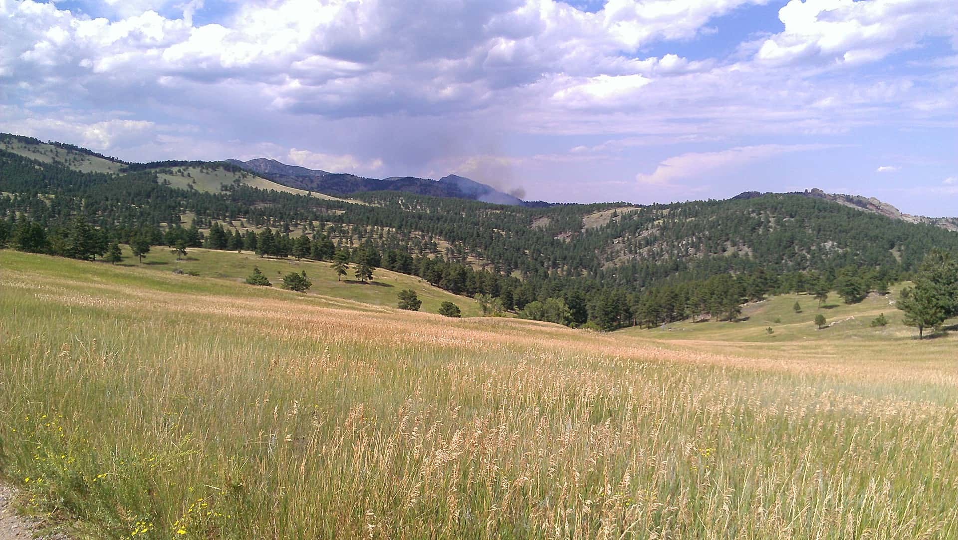
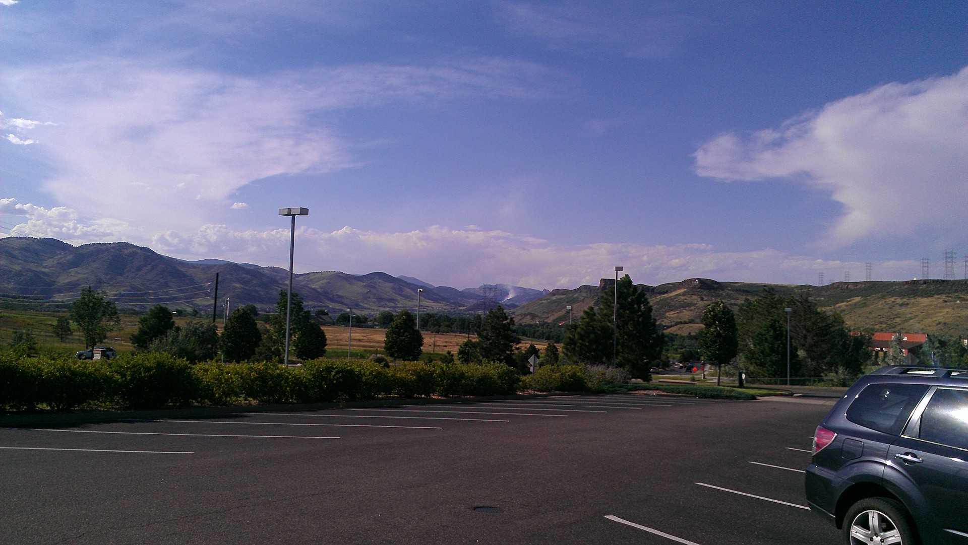
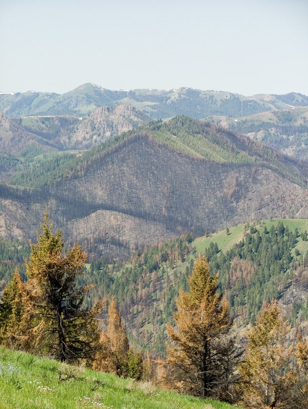
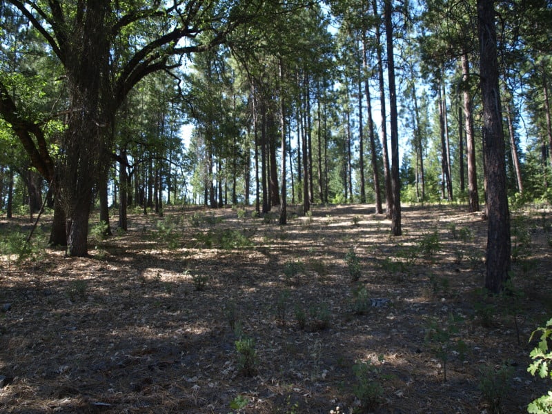
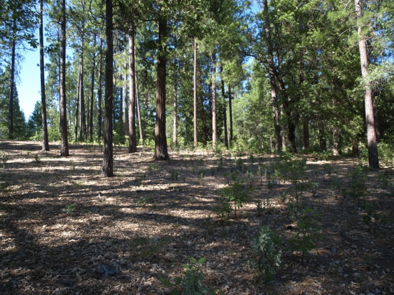
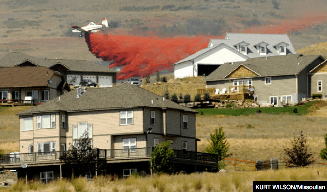
A wildfire denudes hills of vegetation. Often all that’s left is ashes and blackness. When Richard Minnich looks at a charred landscape after a wildfire, he doesn’t mourn the loss of the plants killed in the blaze. ”I’m not crying at al,” he says. “I’m saying, wow, you solved your fire problem for a while. The energy is gone.”

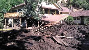
You would ask the folks in Manitou Springs what they think about denuding hillsides and the ensuing flooding.

“Straight ahead of me, I’m looking at solitary houses on the tops of hills,” Minnich says. “It just ticks me off to see that.”

I’m glad that scientists get to give their personal angry feelings. But I wonder how many other scientists are not quoted.. they could be angry about the impacts of smoke on public health or.. one can imagine a variety of things.

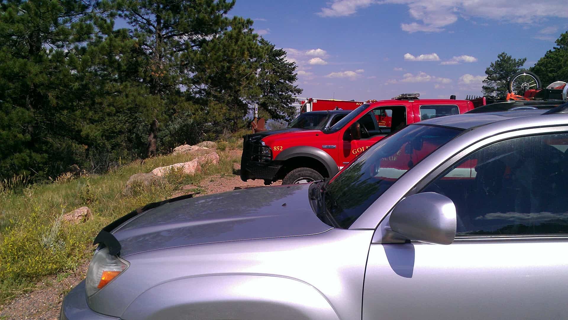
“In Southern California, we have a total suppression strategy,” says Lorine Buckweld, a suppression battalion chief with the U.S. Forest Service. “In other words, that means every fire will be suppressed with as many resources as we can throw at them to keep them small. Because of the threat to the Wildland-Urban Interface.”

The Forest Service now spends more than half of its budget fighting wildfires. Most of which they are spending fighting in and around structures, housing developments and the like, not in and around wilderness areas.

Environmental history professor Char Miller is one of many critics who doesn’t think the public should be footing the bill to protect homes in high-risk fire zones. And he says we’re not factoring in the human cost when we build in these areas.

Duh… if there were no risks to folks, at this point, no one would fight fires. So of course most of the costs are to protect people. But people, towns, open spaces, parks, etc. are hopelessly intermixed in a great deal of the west. Now.. not “we are building”. We have built. We have homes, communities, and open spaces and parks with infrastructure. We can’t go back and kick people out. And there is a legitimate fairness question.. people who build near coastlines, rivers that flood, hurricanes, and earthquake-prone regions.. should we be footing the bill for those? How about those folks around Mt. St. Helens and other volcanoes?

I’m not against some kind of extra charges for some kind of federal insurance for these folks.. but also the others.

And what proportion of the fire bucks are protecting isolated homes.. what proportion neighborhoods and towns, what proportion community infrastructure.. what proportion keeping it controlled so it doesn’t get so big that it can’t be controlled, and burns up power lines, fairgrounds, libraries, and people and animals without time to evacuate, etc.

In general I think extrapolating from California chaparral to the “dry west” (the headline) is a very bad idea.

Is There a “Report A Wildfire” Phone App?

fire close to start

I had an interesting experience today. Went for a hike with my dog on the local (higher elevation) open space. As the trail turned toward home I saw a little extra whitish tint to a mountain in the background. I knew it was a tiny fire but who to call? do they already know about it? Seems like no one would do a prescribed fire at 3PM in August, but who knows? Who should I call, if anyone?

I walked more quickly to the parking lot, where I saw an Open Space employee, who had called it in through his chain of command. Shortly thereafter, fire trucks pulled in; I asked a guy if there was a road where the fire was and he said there wasn’t.

fires trucks at parking lot

Later I went home and went to the post office; this is what the fire looked like from the post office parking lot.

Fire from Golden Post Office parking lot

I think you can click on these photos to see the fire more clearly.

So here’s my question is there a “Report a Wildfire” phone app that automatically lets you report a wildfire based on your GPS location? You can imagine it bringing up a map and the reporter locating where they see the smoke, and that information going to the local authorities. You can even imagine a screen coming up saying “this fire has already been reported” or “this is a new report, give us your phone number so we can call you and get more information.” Seems like something like this should exist, but I haven’t found one in my internet search.

The Beaver Creek Fire

The Beaver Creek Fire has burned over 90,000 acres of the Sawtooth National Forest. This is a view (from the top of Sun Valley Ski Area) of the land after the Castle Rock Fire, of 2007. The Beaver Creek Fire is burning up to and into the footprint of the old fire. As you can see, the fires here can jump around a lot, finding new “jackpots” of fuels, on the north-facing slopes. Some of the acres burned are grass and sagebrush, too. Yes, there ARE some VERY fancy homes in and around the town of Ketchum. Will this be the fire that burns down part of the community?

Sun-Valley-burn-web

Fire Acreage in 2013 Question

I’ve been interested in fire acreages since the discussion of the black-backed woodpecker habitat.

I ran across this story this AM. It sounded like the Beaver Creek fire was 85 square miles. That seems pretty big to me. But then at the end of the story they talked about the Pony Complex (229 square miles).

So naturally I got curious about all of the current acreages.Here is a great NIFC site that tells you many things you might want to know. What I thought was interesting was that this year at this date, we seem to have a lot fewer wildfire acres than in past years. I wonder if I am reading this wrong?

Also the Beaver Creek link seems to be broken, I wonder if it got subsumed into another fire?

Roadside Fuels Project

While driving to Yosemite the other day, I passed through the Stanislaus National Forest on California Highway 120. I’ve seen this project for several years, and decided to stop and see how it looks a few years after completion. These strips are adjacent to the highway for about 6 miles, on both sides of the road. The previous condition had thickets of “whippy” pines, and manzanita brush, making groundwater very scarce at this 3000-4000 foot elevation. I did see some “old growth” manzanita “stumps”, and it looks like very little commercial-sized timber ( over 10″ dbh) was removed.

P9091011-web

I did see where the manzanita was “stump-sprouting” but, their growth will be limited in the shaded areas. Certainly, a mosaic of brush is inevitable but, it appears that the focus of this project is to reduce fuels along the main source of ignitions. It also provides a safe corridor where emergency vehicles can get to where they need to go. This project also seems to give forest development a nice “nudge”, reducing the amount of time needed for larger trees to grow. It will also safely allow the use of prescribed fires, to control future “fuels”.

P9091012-web

Now, I am not sure if this was a “Service Contract”, or a part of a larger timber sale. It really doesn’t look like they removed enough value to pay for the non-commercial tasks. However, this is a good example of necessary things that should be paid for with sustainable forest management.

OK, OK….. I’ll post a picture from Yosemite!

P9090800-web

I saw no less than 30 bucks around Tuolumne Meadows, including an 8 or 9 pointer! Pics on my page!

www.facebook.com/LarryHarrellFotoware

Manitou Springs Post-fire Flooding

flood manitou

If Derek is correct in quoting, in his post below, that “The AWR has repeatedly made the preposterous claim that “sediment from logging will rival that of wildfire.”

The below story seems like evidence that suggests that wildfire impacts can be much more severe than that from vegetation treatments and roads using BMP’s.

Here’s a link, below is an excerpt. Check out the videos on that site.
You can also search on “manitou springs flood photos” and find many good ones that are copyrighted.

MANITOU SPRINGS, Colo. – Following a burst of heavy rain over the Waldo Canyon burn scar, a new round of flood waters rushed down into parts of Manitou Springs on Monday.

According to the National Weather Service in Pueblo, 0.43 inches fell in less than 20 minutes. Shortly thereafter, 7NEWS reporter Molly Hendrickson saw brown waters flooding city streets and the Colorado Springs Fire Department reported that the flow of Fountain Creek had doubled.

U.S. 24 was closed in both directions near Manitou Springs at 2:40 p.m. because of flooding. It reopened around 4:30 p.m., when the threat of flooding had subsided.

A flash flood warning was issued for the area earlier by the National Weather Service, covering both the Waldo Canyon and Black Forest burn scars. The warning expired by 4:15 p.m. but a flash flood watch covers the area until 3 a.m. Tuesday.

The watch cited saturated, unstable soils and the potential for heavy rainfall as potential causes of more flash flooding. That rain is possible throughout the afternoon and evening.

As the flood waters subsided in Manitou Springs Monday, El Paso County health officials said they are concerned about the presence of tetanus bacteria.

The bacteria can make humans sick with flu-like symptoms, even paralyze muscles. Emergency responders fear the bacteria may have been carried by the flood waters onto city streets where volunteers are working.

“It’s in dirt. It’s in soils. It’s in feces,” said Manitou Springs Fire Chief Keith Buckmiller. “We just want to make sure the people helping us don’t get hurt,” he said.

Volunteers and residents doing clean-up are advised to get vaccinated. A free clinic will be held from 9 a.m. to 2 p.m. Tuesday at the Community Congregational Church at 103 Pawnee Avenue in Manitou Springs. Vaccinations will be provided while they last.

Research rejects past fire suppression & “unnatural” fuel build-up as factors in the size & occurrence of large fires in So Cal

The following press release and new scientific review arrived in my in-box yesterday via the California Chaparral Institute. If you have questions about the press release, or the new scientific review, please direct them to the California Chaparral Institute’s Director or Conservation Analyst listed below. Thank you. – mk

For Immediate Release, August 1, 2013

Contact:  Richard W. Halsey, Director, (760) 822-0029
Dylan Tweed, Conservation Analyst, (760) 213-3991

Fire Service Unfairly Blamed for Wildfires
 
Research rejects past fire suppression and “unnatural” fuel build-up as factors in the size and occurrence of large fires in southern California

SAN DIEGO, Calif. – A new scientific review and five major studies now refute the often repeated notion that past fire suppression and “unnatural” fuel build-up are responsible for large, high-intensity fires in southern California. Such fires are a natural feature of the landscape. Fire suppression has been crucial in protecting native shrubland ecosystems that are suffering from too much fire rather than not enough.

The research has also shown that the creation of mixed-age classes (mosaics) of native chaparral shrublands through fuel treatments like prescribed burns will not provide reliable barriers to fire spread; however, strategic placement may benefit fire suppression activities.

The research will be presented during a special California Board of Forestry hearing, August 8, 2013, 8am, at the Four Points Sheraton Hotel, in Ventura, California.

Advocates of the fire suppression/mosaic view often misinterpret the research and ignore contrary information. For example, the recent Mountain fire near Idyllwild in the San Bernardino National Forest was blamed on 130 years of fire suppression. More than half of the area had burned in the 1980s. A 770 acre portion had burned five years ago. The 2007 fires in southern California re-burned nearly 70,000 acres that had burned in 2003. The majority of southern California’s native habitats are threatened by too much fire rather than not enough. This is especially true for chaparral, sage scrub, and desert habitats. Fires less than ten to twenty years apart can convert native shrublands to highly flammable, non-native grasslands.

“All of us need to take responsibility in making our homes and communities fire safe,” said Richard Halsey, director of the California Chaparral Institute. “Political leaders also need to find the courage to prevent developments from being built in high fire hazard locations. Blaming the fire service for large, intense fires because of their past efforts to protect lives, property, and the environment from wildfires is counterproductive and contrary to the science.”

The scientific review can be found here

Additional Information

1. August 8, 2013 Board of Forestry Meeting Agenda

2. The five key research papers refuting the fire suppression/mosaic perspective:

Keeley, J.E. and P.H. Zedler. 2009. Large, high-intensity fire events in southern California shrublands: debunking the fine-grain age patch model. Ecological Applications 19: 69-94.

Lombardo, K.J., T.W. Swetnam, C.H. Baisan, M.I. Borchert. 2009. Using bigcone Douglas-fir fire scars and tree rings to reconstruct interior chaparral fire history. Fire Ecology 5: 32-53.

Moritz, M.A., J.E. Keeley, E.A. Johnson, and A.A. Schaffner. 2004. Testing a basic assumption of shrubland fire management: Does the hazard of burning increase with the age of fuels? Frontiers in Ecology and the Environment. 2:67-72.

Keeley, J.E., Fotheringham, C.J., Morais, M. 1999. Reexamining fire suppression impacts on brushland fire regimes. Science Vol. 284. Pg. 1829-1832.

Mensing, S.A., Michaelsen, J., Byrne. 1999. A 560 year record of Santa Ana fires reconstructed from charcoal deposited in the Santa Barbara Basin, California. Quaternary Research. Vol. 51:295-305.

3.  The Science Basics on Fire in the Chaparral

The Black Hills: They’ve Got It Figured Out

Soldiers from the 1195th Transportation Company, Nebraska Army National Guard, prepare to unload forest timber at Fort Thompson, S.D., as a part the 29th annual Golden Coyote training exercise June 11, 2013. The National Guard Soldiers delivered the timber from the Black Hills National Forest to Crow Creek Sioux Tribe members as a part of the two-week training exercise. (U.S. Army National Guard photo by Maj. Anthony Deiss)

Given recent discussion of 4FRI contractors and the difficulty of selling trees in Arizona despite years of efforts, this article talks about the Black Hills, which seems to be selling 20K acres per year and is asking for bucks for 30K.

I couldn’t reproduce the photo of the photogenic Forest Supervisor, Craig Bobzien, and Senator John Thune, due to copyright, but check it out in the article. Below is an excerpt:

Thom said last year that Forest Service sales in the Black Hills resulted in the removal of Ponderosa pines on about 20,000 acres. But the timber industry in the Black Hills can handle up to 30,000 acres if the funding were there to make it happen, Thom said.

Thune said effective timber management and cooperation by state and local government and private landowners working with and in addition to the Forest Service have proven the infestation can be slowed. Cooperation and effectiveness matter in the Washington, D.C., money hunt, he said.

More federal funding has come to the Black Hills in recent years and more might come again, Thune said.

“I think, for once, Washington, D.C., money seems to follow success, and we’ve seen success here in the Black Hills,” Thune said.

It’s unclear what that means for the coming year, with the effects of budget sequestration and debate over the federal debt.

“We don’t know at this point,” said Craig Bobzien, supervisor of the Black Hills National Forest.

Thune said it was “all very uncertain.” But he noted that Congress and the Forest Service have managed to streamline the process of getting timber-management projects in place. Forestry provisions of the federal farm bill could help strengthen that, he said.

“It doesn’t help with the funding issue, but it helps with authority and response to the problem,” he said.

Dennis Jaeger, deputy supervisor of the Black Hills National Forest, showed photographs of areas of forest where pine trees had been thinned ahead of the beetle spread. Few trees were infected.

Areas nearby that weren’t thinned showed heavy bug hits.

‘We can show successes on the forest,” Jaeger said.

Is it the fact that they have a decent longstanding traditional timber industry and not relying on new products or infrastructure? Is it something about political alignment? Are the Hills not (as desirable a) target for our litigious friends? There is litigation but not very successful.. why is that?

I would send folks from Neiman down to review the contracts and bidders on the 4FRI. Something is going right in the Black Hills.

Addition: Here is an interview with Jim Neiman VP of Neiman Enterprises.

Neiman Enterprises is a group of family-owned and operated sawmills manufacturing and re-manufacturing ponderosa pine lumber in a manner that is respectful of the environment, economy and communities. The company’s three production facilities produce a variety of primary and secondary wood products, including boards, dimension lumber, decking and wood shavings.

Lawnmower Sparks Fire Near Missoula

Mill Creek

According to today’s Missoulian:

FRENCHTOWN – A wildfire sparked by a lawnmower northeast of here quickly spread to 720 acres on Thursday afternoon, displacing livestock and prompting authorities to issue evacuation notices to hundreds of homes.

The Mill Creek fire started in tinder-dry grass before blowing up across a ridge into scattered timber and homes. Air support arrived quickly and in force, hitting the fire with water and slurry as evacuees ran for cover.

As of 9 p.m. Thursday, the fire was zero percent contained.

According to Inciweb the fire started around 2pm as the lawnmower apparently hit a rock and sparked.  The Missoula airport sits a few miles from the location of the fire and yesterday afternoon the airport reported a high temperature of 97 degrees, relative humidity down to 11% and winds gusting to 23 miles per hour.

Inciweb reports that the fire is burning in grass, brush and timber and around homes. So far, 175 firefighters are on the fire and it looks like helicopters and slurry bombers are also on the the fire. Maps indicate that the fire is burning on State of Montana land and private land and is heading headed Plum Creek Timber Company land and also US Forest Service land.  There’s also a chance that this fire will burn into the 2007 Black Cat fire area, as well as some recent Forest Service fuel-reduction projects. No word yet on the taxpayer cost of this human-caused fire. Today’s forecast for Missoula is for sunny skies and a high of 95 degrees.