Biden-Harris Administration Finalizes Strategy to Guide Balanced Management, Conservation of Public Lands
Public Lands Rule will help conserve wildlife habitat, restore places impacted by wildfire and drought, expand outdoor recreation, and guide thoughtful development
A skeptic might wonder how the Forest Service could possibly “conserve wildlife habitat, restore places impacted by wildfire and drought, expand outdoor recreation, and guide thoughtful development” without such a rule? Here’s a link to the Rule. There are also fact sheets and other information here.
So let’s take a brief look to see what has changed based on the comments received. Hopefully, paid legal folks will look more intensively at it. Just in case you’re curious, they received “over 200,000 comments, the vast majority of which supported the effort. In response to the substantive comments received, the BLM clarified and refined concepts laid out in the proposed rule.”
Kind of sounds like they didn’t change anything, just clarified and responded.
***************
I’m not a fan of the temporary ACEC idea, from the FAQS:
If the BLM finds the area meets the criteria for ACEC designation and determines that the relevant and important values could be irreparably harmed if not protected, then the BLM may implement temporary protections that could maintain the condition of identified resources until a potential ACEC can be fully evaluated through land use planning. The public would be notified of any temporary protections.
In response to comments received from individuals, state, Tribal and local governments, industry groups, and advocacy organizations, the BLM clarified that ACECs should typically be evaluated in land use planning because their designation is intended to be a proactive decision made in concert with other considerations that affect the same lands and resources. The Final Rule also refines procedures for ACECs that are nominated outside of the land use planning process, recognizing that the BLM can defer consideration of those areas and, in the rare instances when it may be necessary, can also implement temporary protections.
So the response to the comments was to state that they expect it to be used rarely? And so some group of whatever location and funding could nominate the area, and the public would be “notified”.
This does not sound like a robust public involvement process with considerations of Tribal view; I guess that would be OK because it’s “temporary” only until the next RMP.. and what is the RMP schedule, again?
******
I also wonder about the offsite mitigation idea. It doesn’t sound like there’s a role for both sets of communities to weigh in. Of course, the communities near the siting will weigh in, but what about the community receiving the mitigation lease?
Let’s look at an example in the FAQs
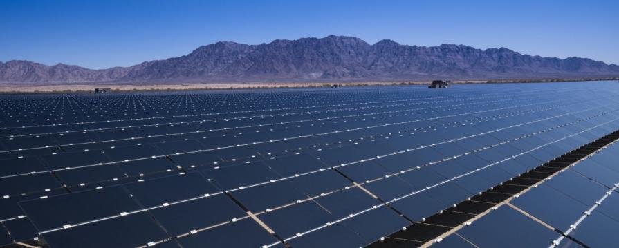
Appropriate places for restoration and mitigation leasing on public lands include degraded habitats in need of restoration, as well as intact landscapes and functioning ecosystems that can serve as compensatory mitigation for a particular action. For example, as part of authorizing a renewable energy project on public lands, the BLM and the project proponent may agree to compensate for loss of wildlife habitat by restoring or enhancing other habitat areas on public lands. A mitigation lease could be used to protect the restoration and enhancement actions.
But who and what are the lessees protecting the “restoration or enhancing” from, other than existing users? Just logically, if the project doesn’t need to be protected from existing users, why do you need a lease? If it does need to be protected, then from whom or what exactly? Some other new use such as another solar or transmission line? This puzzles me. But if it’s a new use, it would have to go through permitting and perhaps the “restored or enhanced” area could have been avoided (or mitigated elsewhere, perhaps via chains of mitigation..).
The Bird Example
The environmental analysis for an interregional transmission line finds the project would have unavoidable impacts on a bird species that is managed as imperiled by the BLM and by state governments where the transmission line is proposed. The authorizing agencies determine that compensatory mitigation is warranted to address impacts to the species, and the best remaining habitat is found on BLM-managed public lands.
In this case, the BLM could consider an application for a mitigation lease to conserve the bird’s habitat on public lands. The lease would identify conservation measures that address the unavoidable impacts to the bird species and would help ensure that these measures remain effective for the duration of the transmission line’s impact. The mitigation lease could be terminated or modified in response to changing habitat conditions.
Why would a lease be preferred to something more flexible? Suppose BLM goes to all the work of doing a lease for an area for some bird. But then the area is burned over. Wouldn’t it make more sense to have something more flexible and robust to change? Or maybe it makes more sense to make one intervention for a species in one place, and then make that same intervention in another place as opposed to making a series of interventions in the same place.
I am reminded of my first run-in with ideology. I was working in US Congresswoman Carrie Meek’s (17th District Florida) office in the mid-1990s. The issue was deregulation of power in Florida. No matter what questions I asked, deregulation was always the answer. It was impossible to engage with the proponents in a down-to-earth way- it was like pragmatism vs. ideology. Deregulation is great. Deregulation is better than sliced bread. Deregulation will only have positive effects. If you point out negatives, let me assure you the positives will outweigh the negatives. No, we don’t need those protections included because… Deregulation is great. It is better than sliced bread…
I have the same feeling about these leases, even if they changed the name.