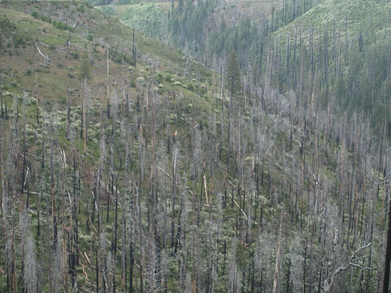
Derek tipped me off about the new BAER fire severity maps, yesterday, and I was happy to see that the efforts to thin plantations has resulted in lower fire intensities. Here is the link to both high and low resolution maps. It is not surprising that fire intensities outside of this thinning project I worked on were much higher, and I doubt that there was much survival in the unthinned plantations. Those plantations were the within the 1971 Granite Fire, and is yet another example of forest re-burn. This part of the fire has terrain that is relatively gentle, compared to the rest of the burned areas. To me, it is pretty clear that fuels modifications reduced fire intensities.
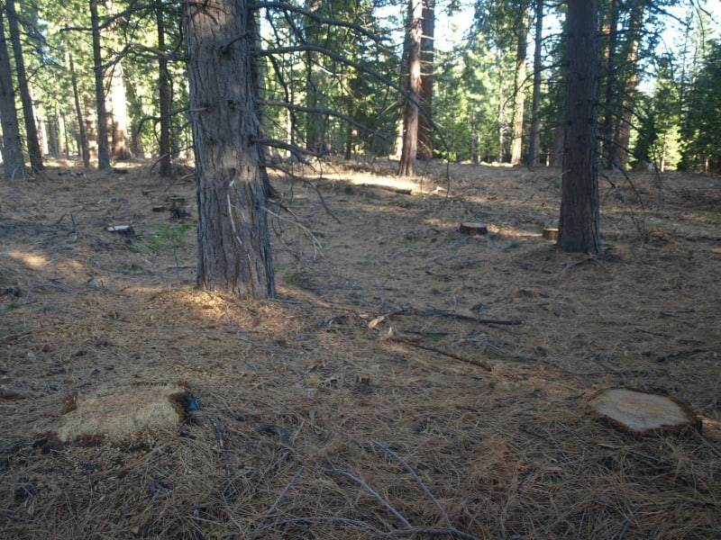
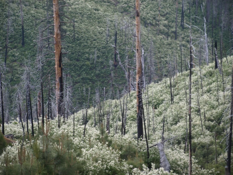
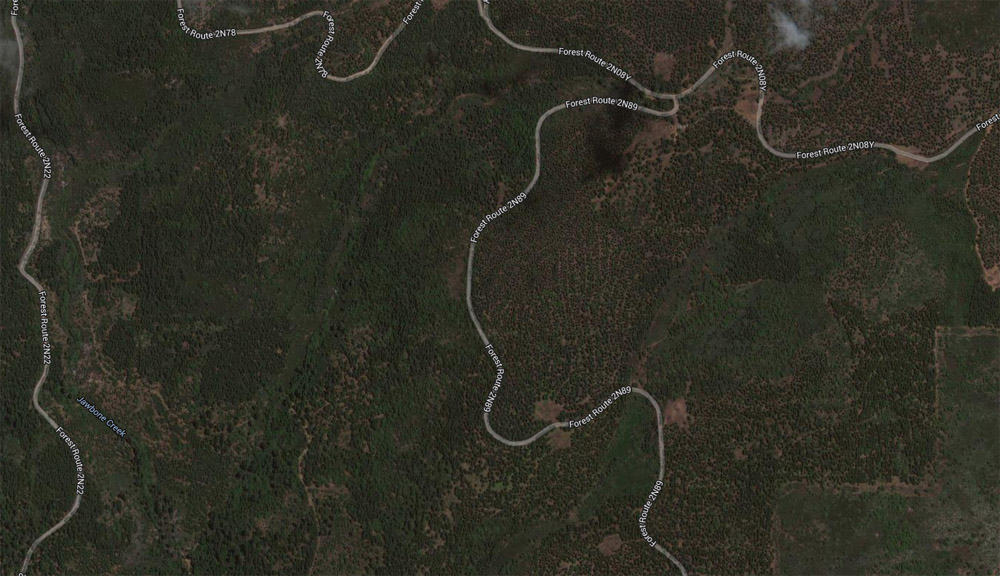
This photo below shows a boundary between burn intensities. The area east of road 2N89 was thinned and burned much cooler than the untreated areas to the west. The areas in between the plantations had moderate to high burn intensities, due to the thick manzanita and whitethorn. Those areas were left to “recover on their own”. The SPI lands did not fare as well, as they didn’t thin their plantations.
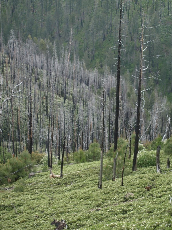
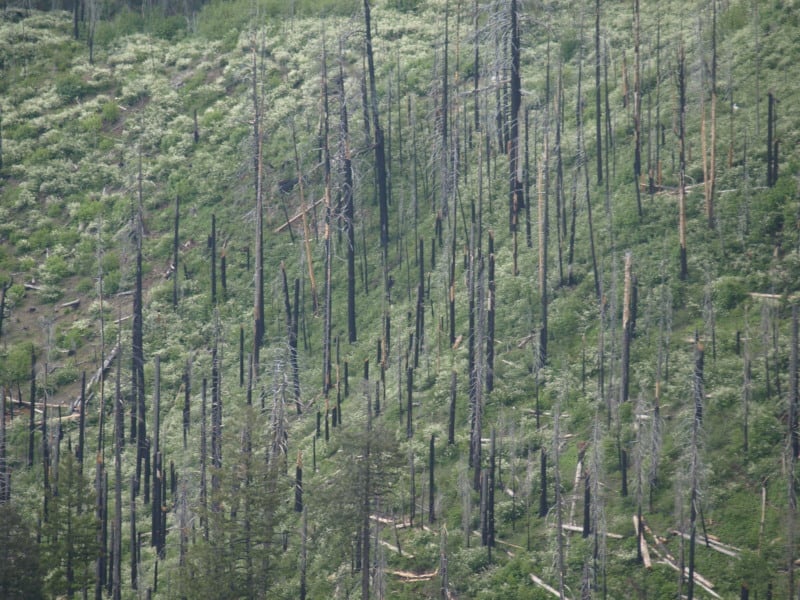
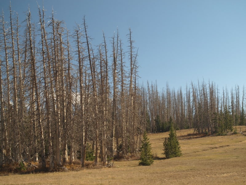
The highest burn intensities occurred in the old growth, near the Clavey River. Activists have long-cherished the areas around this river, and I am assuming that these were protected as spotted owl/goshawk PACs. As you can see, this area has very thick old growth, and it shows on the map as high intensity. This same scenario is one that Wildlife Biologists have been worrying about for many years, now. These wildlife areas have huge fuel-loading issues and choked understories. Prescribed fires cannot be safely accomplished in such areas, without some sort of fuels modifications. Last year, I worked in one unit (within an owl PAC) on the Eldorado where we were cutting trees between 10″ and 15″ dbh, so that it could be safely burned, within prescription.
Nearly all of the Groveland Ranger District’s old growth is now gone, due to wildfires in the last 50 years. What could we have done differently, in the last 20 years?