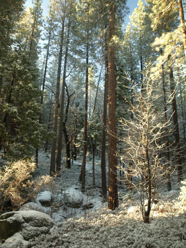
Pine Regeneration: Bridge Fire, Bryce Canyon National Park

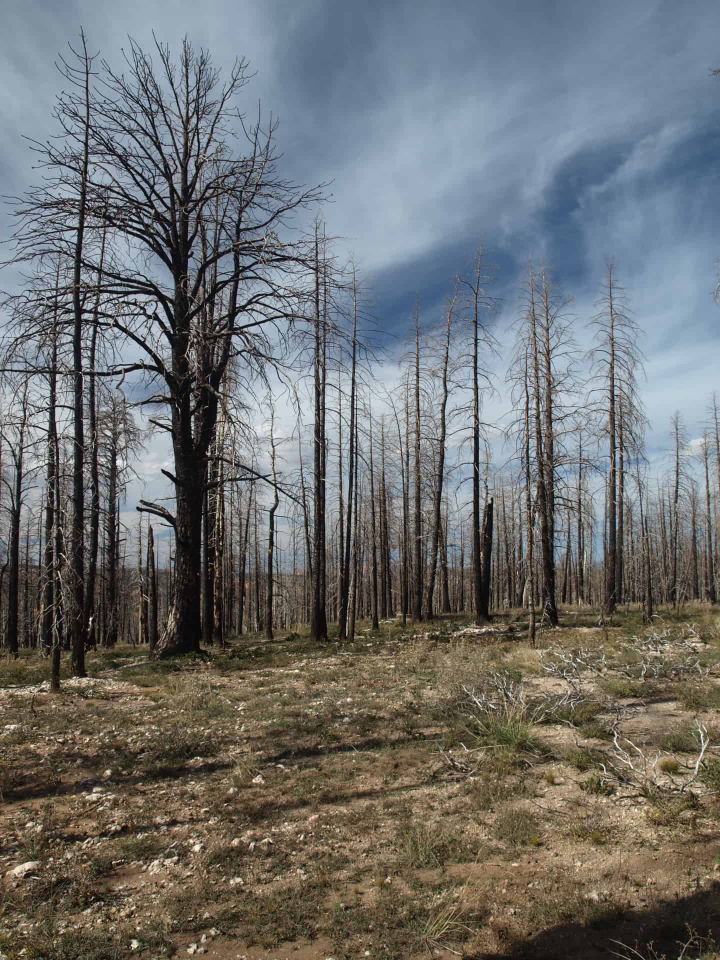
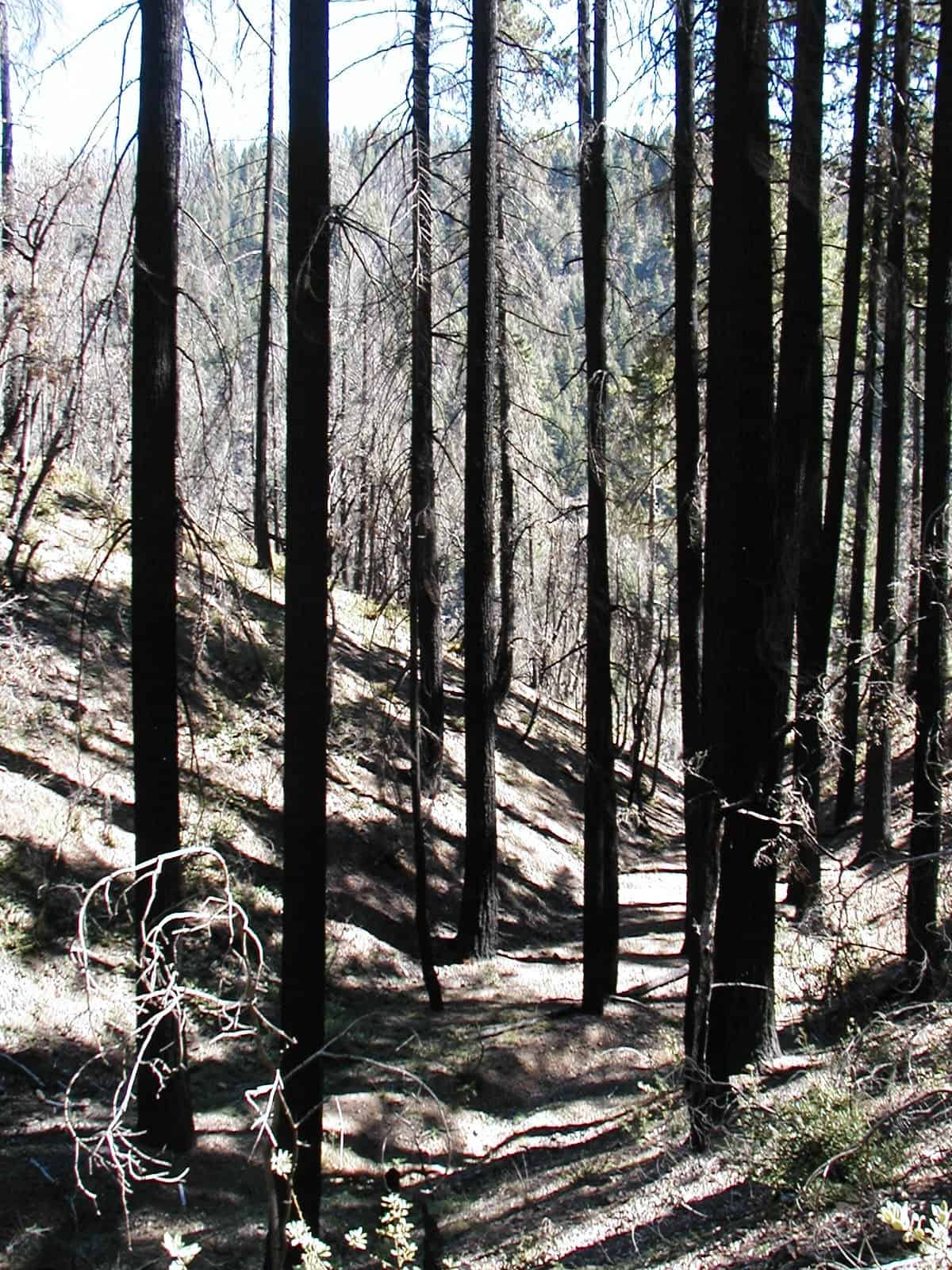
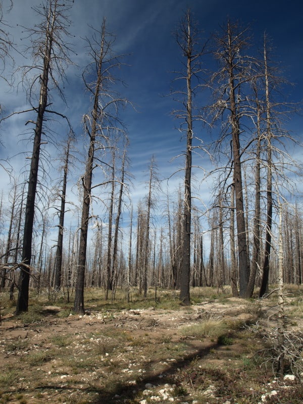
The 2009 Bridge Fire was started by lightning, and burned in both the Dixie National Forest and Bryce Canyon National Park. Since the fire didn’t closely approach structures, the fire was allowed to burn to the road, and in some places, to the rim.

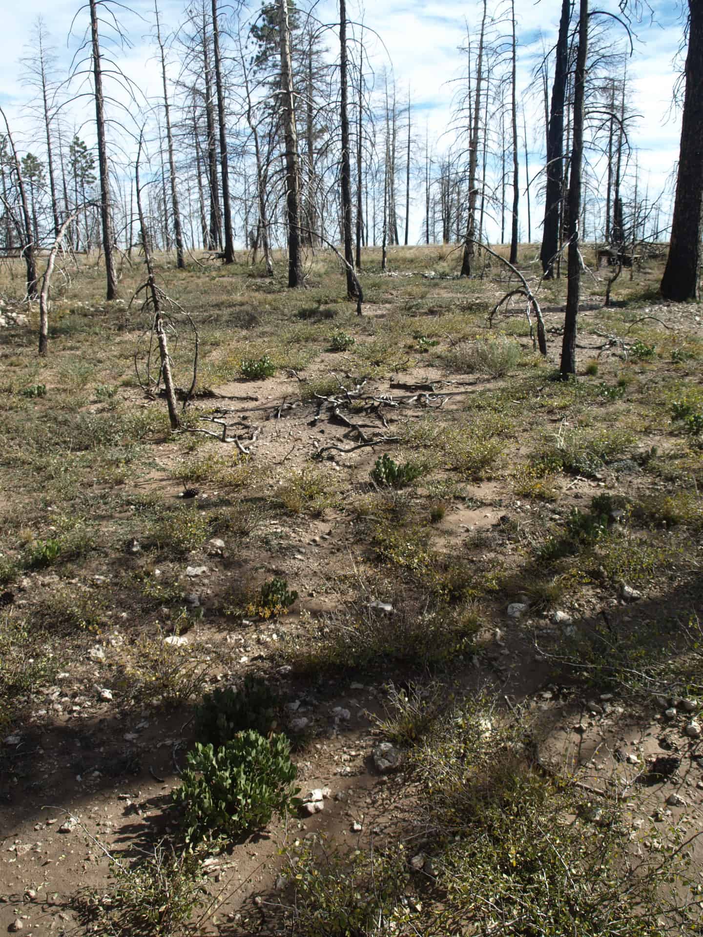
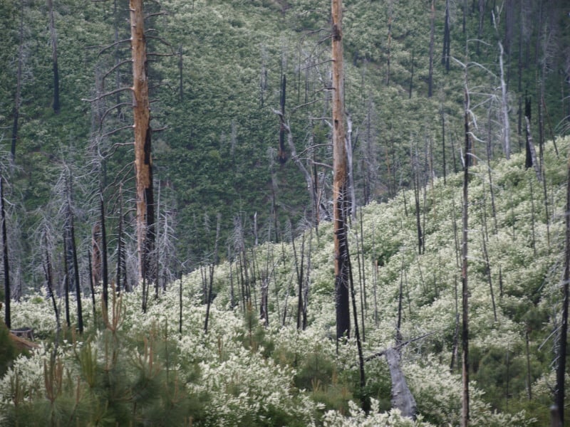
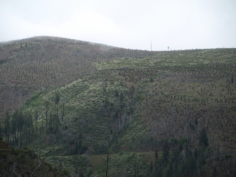
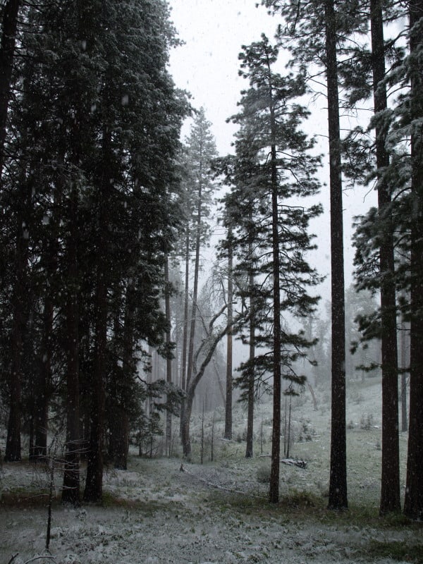
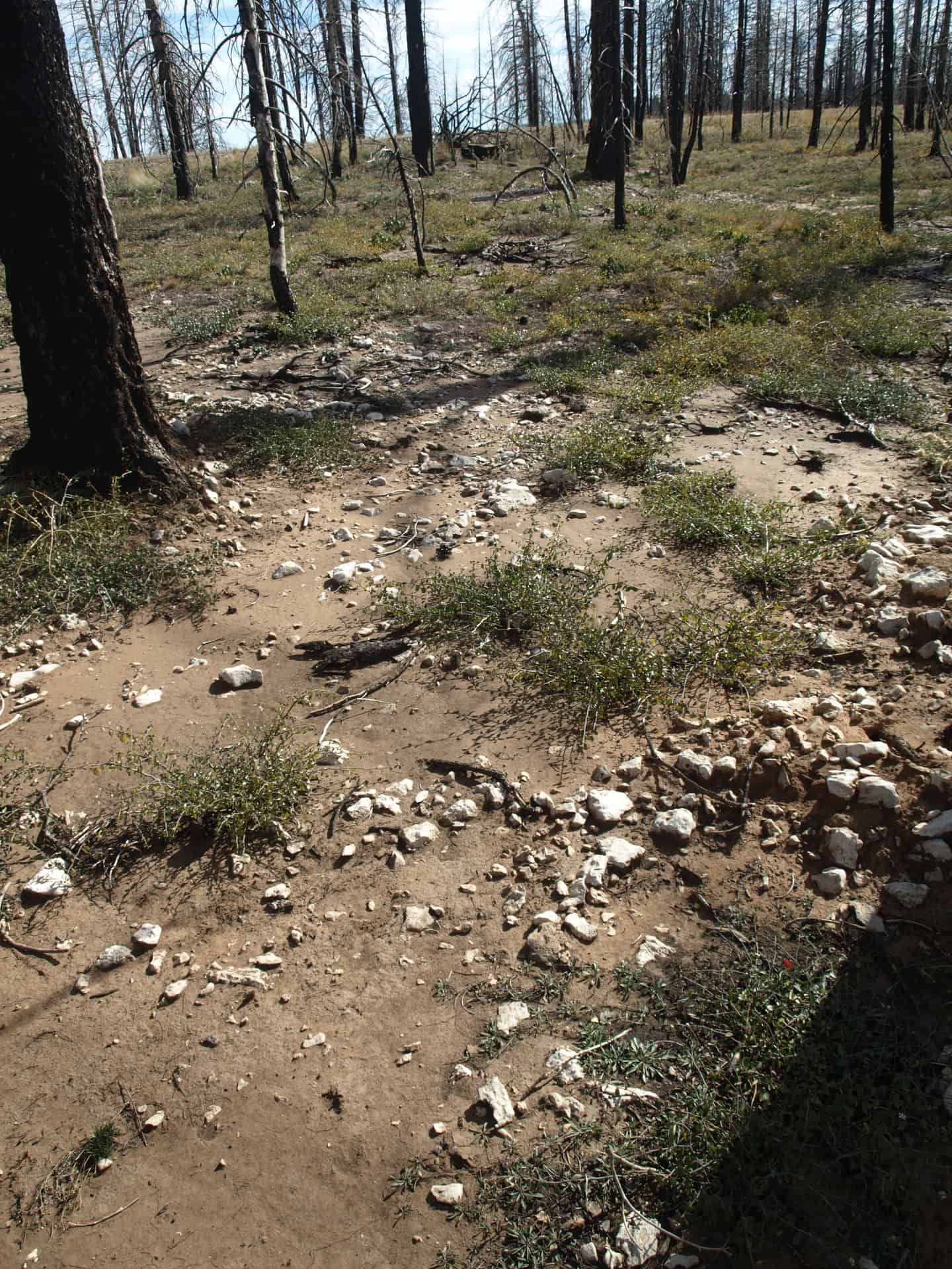
Mortality was pretty severe but, there were still some green trees scattered about. It is hard to say if there has been a good cone year, since the fire. I didn’t see a single live new tree in this particular area.

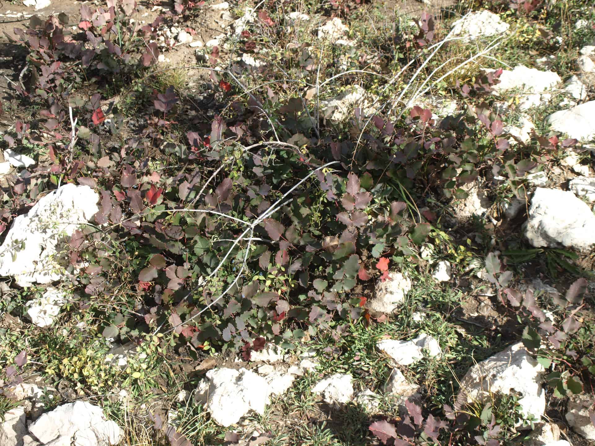
I did see this dwarf Oregon grape but, it really wasn’t a surprise, since I had seen them growing among the hoodoos.

I also saw some manzanita and ceanothus becoming re-established, along with other desert brush species.

As the years go on, the odds for having a pine forest soon are worsening. At 9000 feet in elevation, this is a pretty harsh environment for any tree. I posted most of these pictures in high resolution, so you can see the vegetation easily, if you click on them. You cannot judge pine regeneration after only a few years but, in this case, pine regeneration looks very poor.

To see the pictures from my Bryce Canyon and Zion National Park adventures, go see my Facebook page, please. These include the Peekaboo trail in Bryce Canyon, and “The Narrows” in Zion National Park.
www.facebook.com/LarryHarrellFotoware

Indian Valley Meadow Restoration

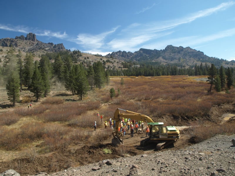
Indian Valley, part of the Amador Ranger District, Eldorado National Forest, is being restored as a high elevation meadow, after decades of misuse. Grazing has ceased but, its impacts still linger. In the past, willows were removed and water was channeled away, causing increased erosion of these shallow and fragile soils. The water table has been lowered and the meadow hasn’t been able to support the vegetation that it used to.

Concentrating runoff by channeling the water causes increased erosion, especially when we have rain on snow events. There were significant impacts from the winter of 1996. This project aims to get the water to spread out, linger, and re-charge the water-holding capacity of up to 500 acres.

A system of catchment ponds, compacted soil plugs, and native plant re-vegetation will cause snowmelt runoff to spread out and slow the erosive power of concentrated water. This project has a history of being de-funded and handed off but, all things came together when Coca Cola offered up some cash, which led to some additional matching funds and collaboration. The Ranger District had to jump through all the NEPA hoops, as surveys had to be completed for endangered willow flycatchers, frogs and toads. The one impact they could not remedy is a historic road, which travels across the meadow. Relocation was made impossible, due to archaeological sites. Removal or closure would be politically impossible.

The willows have made a great comeback, since grazing ended. However, you can clearly see that the foreground vegetation is quite sparse. Raising the water table a few feet will lead to meadow restoration. The numerous braided side channels would re-charge the water table. There appears to be one of the historic man-made channels in this picture.

Here is what appears to be one of the natural side channels, which no longer is supplied with water, due to lowered water table, erosion, and channeling of the water. This restoration project appears to be a win-win situation for everyone.

Here is a non-Forest Service link to the project:

http://www.americanrivers.org/newsroom/blog/lhunt-20120920-indian-valley-meadow-restoration.html

Giant Sequoia Plantation!

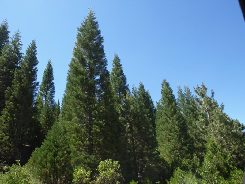
We ran across this Giant Sequoia plantation, within our restoration project. I’m not sure of the age of this plantation but, it was probably back in the late 70’s or early 80’s. It is mostly south-facing, and not really like where they normally grow but, a “renegade” culturist did several experiments. I’m not sure what future management ideas are. This one needs some thinning, as their vitality seems quite variable.


New Age Forestry Project in California

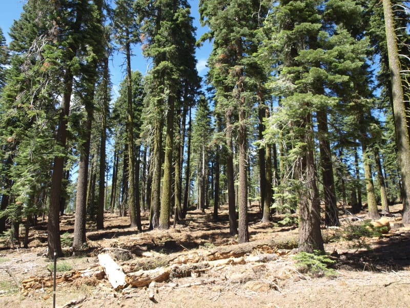
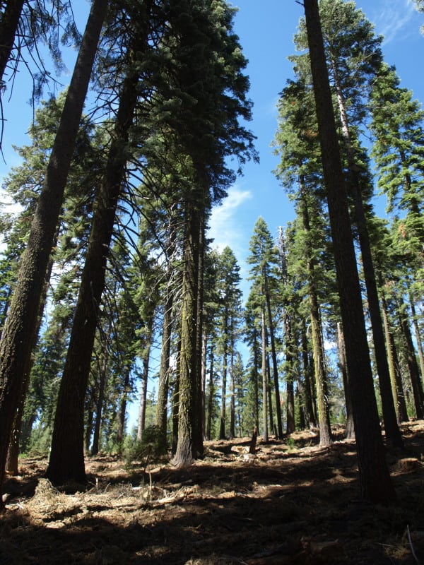
This is an example of what our thinning projects look like, when completed. As you can see, the stand is still well-stocked, and ladder fuels have been removed. You can also see that the stand will be resilient and that all the logging slash has been removed, as well. In looking closer, I’m not seeing any damaged trees, as well. Additionally, no large trees ( over 30″ dbh ) were cut, unless they could fall and hit the adjacent highway.

This logging was done during this season, and work is continuing in other units. The project is quite visual, being all along a major Sierra Nevada highway. We call this style of project “thinning from below”. Any thoughts?

The Power Fire, Six Years Later

This wildfire, on the Amador Ranger District, of the Eldorado National Forest. was sparked by crews cutting hazard trees along powerlines. I was a Sale Administrator, detailed to help salvage timber and accomplish contract work over 55% of the burned area. New marking guidelines, ordered by the courts, were first used on this project. While the plans survived a lower court challenge, the infamous Ninth Circuit Court decided that the new guidelines were “confusing” and more analysis regarding the blackbacked woodpecker was needed.

Here is what one of the cutting units looks like today. Choked with deerbrush, with not much in the way of conifers established.

This picture shows the striking contrast of Forest Service, versus private timberlands. You can clearly see the property lines and the section corner. What you cannot see is the accelerated erosion that came off the private lands, impacting the road at the bottom of the picture. Between the deerbrush and the the thick bear clover, conifers have little chance to recover, and a re-burn might be in the future for this patch of Federal land. The upper tract of Federal land seems to have no standing snags left, due to blowdown. The rest of the area seems to be choked with snags that died since harvesting was completed. At least SOME of the fuels for a future wildfire have been significantly reduced.

This area has a history of Indian occupation, and the forest still shows it. The bear clover re-grew and covered the bare soil within 6 months. Today, people would be hard-pressed to find ANY logging damage, on this side of the fire area. What really amazed me is that this project has ALREADY suffered a re-burn. The fuels reduction definitely saved the remaining old growth from burning to a crisp. This forest has its resilience back, has a better species composition, and seems ready for a regular program of prescribed fire.

As you can see, the light and the weather didn’t cooperate. I’m sure I will be going back to capture some more images, and to compare them to the photos I took six years ago.

Biscuit “Scenic” Pictures

This is an example of a “protected” nesting site for a northern spotted owl. It was never logged and will not be habitat for many decades, especially if a reburn occurs. It sure doesn’t look “natural and beneficial”, to me, OR the owls and goshawks.

Here are the kind of snags (the large orange-marked one) that were selected to be “saved”, within Biscuit cutting units. Of course, only 4% of the 500,000 acres of the Biscuit were salvaged, so there certainly is no lack of snags in the huge burn.

Here is a cutting unit where mortality was close to 100%, in unlogged old growth. Instead of thinning a green stand, we ended up “thinning” snags.

Here is some erosion, in a small gully. I wonder what the “cumulative impacts” of hundreds of similar gullies have upon salmon populations, and other aquatic organisms. Surely, some of these gullies experienced accelerated erosion in the 5+ years since I took this picture.

www.facebook.com/LarryHarrellFotoware

Sumter Hardwood Forest

I spent about six months in “the Piedmont” of South Carolina, doing stand exams. Most units were plantations, reforested from the old cotton fields. Some of the units were bottomland areas, with lots of interesting biodiversity. I discovered 41 different hardwoods species, with 20 of them being oaks. I did pretty well identifying the trees, despite having taken Dendrology 25 years beforehand. This oak was really unusual. with a branch being longer than the tree was tall. I paced the 55 foot distance of this limb that grew its way to the road opening.

CFLR Project News- Amador/Calaveras

Here is the blog for the local (to me) project. It is unclear how much the Pacific Rivers decision will affect it. I’m sure they will find ways to spend the money but, I doubt any logs will get sold. It is awful hard to make a log truck load out of  10 to 16 foot long small logs. The money won’t go very far if it only results in service contracts. This is their stated mission: “The Amador-Calaveras Consensus Group is a community-based organization that works to create fire-safe communities, healthy forests and watersheds, and sustainable local economies.”

http://acconsensus.wordpress.com/

Southwest Oregon Rainforest

During a wet April, I was doing stand exams in old plantations in southwest Oregon. No, those days of wearing “tin pants” and “corks” are not over with! On my one day off that wet week, I woke up early on Sunday morning and was out the door before any of my co-workers even got out of bed. I found plenty to shoot, exploring the area around the south fork of the Coquille River, east of Powers.

http://www.facebook.com/pages/Larry-Harrell-Fotoware/145797075533465