The El Portal Fire, burning in Yosemite National Park and the Stanislaus National Forest, has taken a familiar path. Starting very close to where the 1989 A-Rock Fire began, it easily burned up the steep canyon slopes, out of reach of firefighters. Not too many people are making the connection between this set of fires, the A-Rock, the Big Meadow and now the El Portal Fire, and the Rim Fire re-burn (and its prior fires).
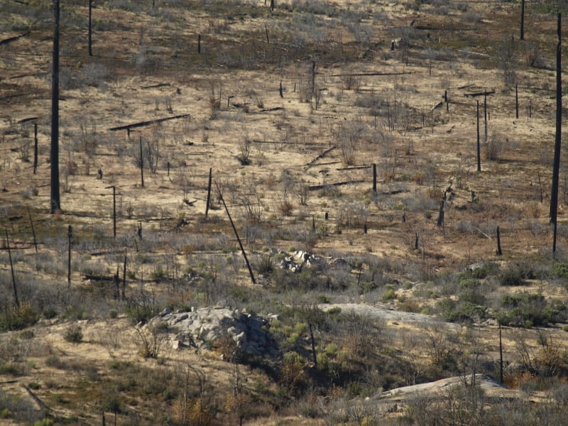
Below is what the Foresta area looked like in November. Did those green trees survive this fire? We can’t be sure until the bark beetles have decided their fate, over the next few years. The forested slopes in the background were salvaged under the original A-Rock salvage project, and you can see that it looks about as good as a burned and salvaged landscape can be. Parts of that ridge top have had 13 fires in the last 100 years. The northern third of the fire burned into areas partially burned in the Big Meadow Fire. Up there, fuels are much heavier, and some of it had made it to the ground.
Edit: The fire’s boundary has slopped over that far ridge top but, there is less fuel on that dry west-facing slope, and the fire is just smoldering at the north end. Now, with more re-burn! It will be interesting to see how intense it was, burning through the salvaged part of the A-Rock Fire.
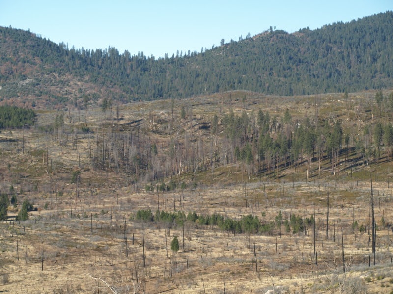
So, how long do you think it will take to turn this former pristine old growth stand back into a viable forest? Remember, this was a prime summer site for Indians, who expended a lot of time and energy to manage the ladder fuels. You can also go see the bigger picture here, at https://www.google.com/maps/@37.7045826,-119.7624808,7211m/data=!3m1!1e3?hl=en The northern end is very close to Crane Flat. Suppression costs have topped 8 million dollars. Also, how long will it take before blackbacked woodpeckers are on THIS piece of land? We need to learn from this example, or be doomed to repeat this moonscape.