Rim Fire Logging Lawsuit

Yes, we all knew it was coming but there is one surprise. (See the 3rd plaintiff)

Again, owls will “occupy” almost ANY landscape, as long as there is prey there. If the nest stands were cooked, then they will have to find, and build, new nests. Owls are notoriously lazy in building nests, and often will use abandoned goshawk nests (and vice versa). One question I’ve wondered about for a long time is; Why do PACs retain their “protected” status when nesting habitats (the reason the land is protected) are destroyed? The loss of spotted owl (AND goshawk) nests is merely another part of the “whatever happens” strategy, so loved by the plaintiffs.

P9202313-web

“The complaint issued by the Earth Island Institute, the Center for Biological Diversity, and the California Chaparral Institute seeks an injunction to halt logging within the 37 occupied California spotted owl territories within the burned area. That would prevent logging in about 40% of the Rim Fire areas already approved by the decision for tree removal.”

http://www.mymotherlode.com/news/local/221678/rim-fire-logging-lawsuit.html

Preparing For Rim Fire Logging Litigation

The battle has begun!

The picture below was taken in April, within the Rim Fire, and shows how quickly the bearclover returns, after a fire. Even the manzanita and deer brush have difficulty when the bearclover is so entrenched. California Indians knew that old growth pine and bearclover were the best of their available land management outcomes. Those landscapes had great advantages for humans living in the mid elevations of the Sierra Nevada.

http://www.mymotherlode.com/news/local/221325/preparing-rim-fire-logging-litigation.html

P9202274-web

Deputy Stanislaus National Forest Supervisor Scott Tangenberg spoke before the Tuolumne County Supervisors this morning, and said the Forest Service has been contacted by several individuals, or groups, that will likely file litigation later this week.

Well, we all knew that was coming and who was opposing the project. While on the Rim Fire tour, and at the SAF meeting, it was funny to see the Forest Service tiptoeing their way around “those who shall not be named”. *smirk*

The Rim Fire: Landscape View

Here is a view of the Granite Creek watershed, and a peek at the Tuolumne River canyon, too. The Rim Fire burned all the way to those most-distant ridgetops. For scale, you can see a vehicle in the middle of the picture. That road is the Cherry Oil Road, which connects Cherry Lake with Highway 120. That greenish tint is the vast growth of bearclover, easily reclaiming their “territory”. Bearclover is one of the reasons why clearcutting has been banned in Sierra Nevada National Forests since 1993.

P9232905-web

Rim Fire Salvage Logging, by SPI

Bob Zybach and I went on a field trip to the Rim Fire. The first stop on the tour showed us the Sierra Pacific Industries’ salvage logging results. I’m posting a medium resolution panorama so, if you click on the picture, you can view it in its full size. You can see the planted surviving giant sequoias on their land which were left in place. You can also see some smaller diameter trees, bundled up on the hill, which turned out to be not mechantable as sawlogs. You might also notice the subsoiler ripping, meant to break up the hydrophobic layer. They appear to have done their homework on this practice, and it is surprising to see them spending money to do this. SPI says that their salvage logging is nearly complete, and that they will replant most of their 20,000 acre chunk next spring. They have to order and grow more stock to finish in 2016.

SPI-panorama-big-web

Throwback Thursday Hits NCFP!

After the “Siege of 1987”, and 43 wildfires on the Hat Creek Ranger District, in three days, the Lost Fire burned up this forest up on the Hat Creek Rim. Even without terrain effects, this fire raged through the forest incinerating everything in its path. There is an eerie beauty in this picture, reminiscent of an Ansel Adams monochrome image.

high-intensity-burn-web

Today, those forests are growing back, after a big reforestation program, and it appears, a subsequent thinning. Here is a Google Maps view of that area today.

https://www.google.com/maps/@40.8027893,-121.4002792,862m/data=!3m1!1e3?hl=en

Already this summer, there has been 3 large wildfires on this Ranger District. It is mostly a dry “eastside pine” forest, requiring trees to be thinned and crowns separated. It appears that the Forest Service is finally seeing that early thinning is key to restoring forests. In the past, it always appeared that they were “gambling” on waiting for the trees to get bigger (and more profitable), before managing their plantations.

Repeat Photography: Part Deux

It’s kind of a challenge to assemble pictures shot in different years, from different spots, and from different cameras. This is an excellent way to view and monitor trends, showing the public what happens over time to our National Forests. Sometimes, you have to look hard to see the differences. In any future repeat photography projects, I will be using very high resolution, to be able to zoom in really far.

East-Panther-Power-Fire-web

One of the reasons why you don’t see much “recovery” is that the Eldorado National Forest has finally completed their EIS for using herbicides in selected spots, almost 10 years since the fire burned. This is part of the East Bay’s water supply. Sierra Pacific replanted their ground in less than 2 years. So, the blackbacked woodpeckers should be long gone, as their preferred habitat only lasts for an average of 6 years. As these snags fall over, the risk of intense soil damages from re-burn rises dramatically. Somewhere, I have some earlier pictures of this area which may, or may not line up well with this angle. I’ll keep searching through my files to find more views to practice with.


New Aerial Photos of the Rim Fire

Google Maps now has updated photos that include the Rim Fire. Now, we can explore the whole of the burned areas to see all of the damages and realities of last year’s epic firestorm.

P9132051-web

.

Here is where the fire started, ignited by an escaped illegal campfire. The bottom of this deep canyon has to be the worst place for a fire to start. It’s no wonder that crews stayed safe by backing off.

http://www.google.com/maps/@37.8374451,-120.0467671,900m/data=!3m1!1e3?hl=en

.

While there has been talk about the forests within Yosemite National Park, a public assessment has been impossible, in the National Forest, due to closures. Here is an example of the plantations I worked on, back in 2000, completed just a few years ago. What it looks like to me is that the 40 year old brushfields caused most of the mortality within the plantations. A wider look shows some plantations didn’t survive, burning moderately. When you give a wildfire a running start, nothing can stand in the way of it.

http://www.google.com/maps/@38.0001244,-119.9503067,1796m/data=!3m1!1e3?hl=en

.

There is also a remarkable view of Sierra Pacific Industries’ partly-finished salvage logging. Zoom into this view and take a look at their latest work, including feller-bunchers. Comments?

http://www.google.com/maps/@37.9489062,-119.976156,3594m/data=!3m1!1e3?hl=en

Balanced Post-fire Treatments in the Rim Fire

I ran across this excellent article from  Eric Holst, Senior Director of the Environmental Defense Fund’s “working lands program”.

Here’s the link: https://www.edf.org/blog/2014/02/18/after-rim-fire-surprising-role-salvage-logging

P9132046-web

This picture is a view looking down into the Tuolumne River Canyon, from the “Rim of the World” overlook. Down there is where the fire started. I’d bet the spin on this wildfire would be VERY different if it was ignited by lightning.

Holst is showing some excellent judgement in looking at the bigger picture of the realities of the Rim Fire, seeing that “letting nature take its course” isn’t the way to go on every burned acre.

The Forest Service recently proposed to conduct salvage logging – removal of dead trees – on about 30,000 of the 98,049 acres of high intensity burned area and remove hazard trees along 148 miles of high use road in the burn perimeter. While it may seem counterintuitive for a conservationist to do so, I support this effort. In the high intensity areas, the Rim Fire burned so hot that it not only killed every tree but the top inch or two of soil with critical soil microfauna, and seed stocks were also sterilized. Fire of this intensity has been relatively rare in the moist middle elevations on western slopes of the Sierra Nevada and the native forests are not adapted to bounce back from this type of fire.

There are also some “interesting” comments, and a hint of “eco-bickering”. In those comments is also a return of the “Chapparalian”, using his actual name (instead of one of his many pseudonyms and even fake names). There are also some other interesting names commenting about these issues. John Buckley, a local leader of an environmental group comments with an open mind and a dose of reality. Others continue to spout the misguided idea that leaving the Rim Fire alone is the only way to go. Some commenters talked about the reality that we have plenty of BBW habitat, protected within the National Park. One reality not covered is that re-burns cause extensive damage that is very difficult to recover from, especially in areas left to “recover on their own”.

I still see that post-fire management is essential to getting big trees back on the land. We already have site-specific evidence that forests didn’t return when post-fire management was excluded, 40 years ago. We ended up with old growth brushfields, and a few stunted trees. Those old brushfields burned at moderate intensity. We have a big variety of landscapes, with differing burn intensities and site-specific conditions. This partial comment is spot-on, regarding these facts

It is interesting to see how many comments Eric’s post attracted from authors who are vehement that absolutely nothing except ‘let nature takes its course’ on National Forest lands. Since we have 100,000 acres of National Park land for that experiment, it would be more interesting to apply some other options on the National Forest lands. In the climate change debate, we continue to witness the rapid expansion of vocal people so sure of their own story that they refuse to even consider the possibility that it is worth learning more about the changing earth. Hopefully, this fate will not befall the response to the Rim Fire.

It seems pretty clear to me that a few open-minded people from both sides are seeing the realities of the Rim Fire, and its future.

Power Fire 2014

We’ve seen pictures of the Power Fire, on the Eldorado National Forest, before. I worked on salvage sales until Chad Hanson won in the Ninth Circuit Court, with issues about the black-backed woodpecker. The court decided that the issue needed more analysis, as well as deciding that the Forest Service’s brand new mortality guidelines were “confusing”. From these pictures, it is very clear to see that those mortality guidelines were way more conservative than they maybe should have been.

P9262156-web

As you can see, in this finished unit(s), there were ample snags available for birds to use, despite multiple cuttings, due to the increased bark beetle activity, during the logging. No one can say that they didn’t leave enough snags, (other than the Appeals Court). These pictures are very recent, shot last month.

P9262142-web

This picture amused me, as I put this sign up back in 2005. Plastic signs last much longer than the old cardboard ones.

P9262128-web

Here is another view of the area, chock full of snags, well beyond what the salvage plans asked for, to devote to woodpeckers and other organisms that use snags. People like Chad Hanson want more high-intensity wildfires, and more dead old growth. It is no wonder that the Sierra Club decided he was too radical, even for them.

Edit: Here is the link to a previous posting from almost 2 years ago, with pictures. https://forestpolicypub.com/2012/05/28/the-power-fire-six-years-later/

SAF Linked-In Discussion on Tree “Assisted Migration”

The Society of American Foresters, in addition to the ForestEd website I’ve already talked about, has a LinkedIn site. Now, I am not a fan of Linked-In. One night at a Retiree Roundup I pressed the wrong key and everyone on my late husband’s email list got an invitation to LinkedIn. From then on I looked on it as a from of irritating and intrusive virus and closed all my accounts. Later, I determined it was good for the Committee on Forest Policy to have a presence on the site, and there are many interesting things there that could be reposted here on this blog. So I took a deep breath and signed up again. If you don’t want to “go there”, I can’t argue with you.

There are many interesting discussions here, which are open to all, not just SAF members. However, I’d like to point to one, started by David South a forestry professor at Auburn University, on “assisted migration.” Here is a link to the discussion. I think that there are a couple of things of interest.

One is that this thread has gone on for months intermittently, but it adds up to David finding different studies to query and asking different questions about the same topic.

The second is that there are some classic quotes, even just recently. The problem is that I don’t think I can link directly to a specific comment (if others can help with that, please let me know) I like David’s quote:

[Note: Good terminology clarifies differences… poor terminology masks differences.]

which I think is broadly applicable.

This may also be broadly applicable; I summarized the relationship between FS research and operations:

So here is my summary of what the Forest Service does. You can quote me ;). The FS has researchers who work on different things in different places and have different ideas. The FS has different operational units who work on different things in different places and have different ideas.

Sometimes a researcher will influence one or more folks in operations. Other times they rely on their own academic and practitioner knowledge and experience. Many times the operational vocabulary is different from researcher vocabulary.

And Harvey Tjader’s expression of recent climate.. are we really likely to be able to model what genotypes will respond well to this, let alone whatever happens 50 years hence?

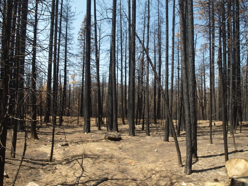
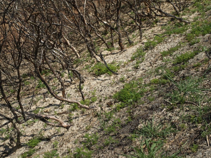
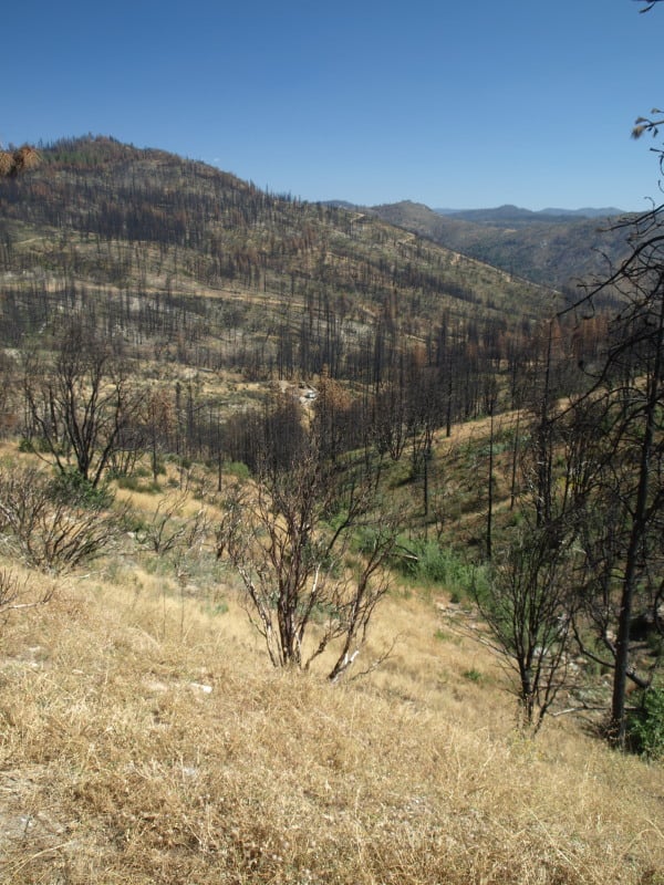
Regarding coming out and going into cold weather, we cannot go by the calendar in Northern Minnesota any more. We had cold weather well into May last year. When we had snow in September, someone remarked that we had four months without a snowfall. Then a rather warm fall. Hard frost came a month later than average. Followed by the third or fourth coldest December on record. In a recent spring, maybe 3-5 years ago, we had three blizzards in April, one week apart. Phenology of native plants was greatly affected through half the growing season. The 50-60 below zero temperatures I mentioned before may have been in 1996 instead of 2006. Leaf out of native trees that year was delayed and many native species had reduced leaf size and abundance. We’ve also experienced warmth. A January thaw is not a big deal any more; we can have a thaw every couple weeks. In the spring of 2011, we saw 80 degrees very early in the spring, followed by temperatures in the 20s. Some spruces lost their cold tolerance in the warm spell and lost needles or were killed in the subsequent cold snap. Heat and drought are common in the summer.

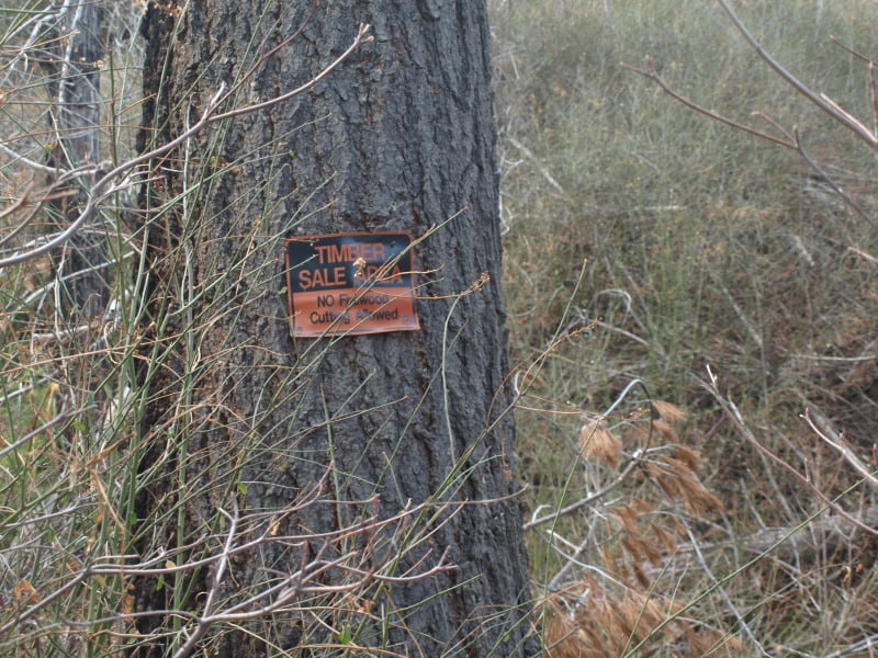
Finally, David was trying to figure out what and how much, the FS actually plants trees. So I looked for the reports.

Here’s what I found through Google..
http://www.fs.fed.us/forestmanagement/silviculture/reforest-tsi.shtml
This national page stops at 2004.
Here’s R-1’s for 2012.. looks like 8,252 acres or thereabouts.
http://www.fs.usda.gov/Internet/FSE_DOCUMENTS
/stelprdb5403645.pdf
yay.. R-1!

My opinion…if the FS has an annual report (which is useful), they should keep posting it every year, in an easy to find place. But I could be wrong and I just couldn’t find it. Can anyone out there in blog land find it?