“Political” personnel moves afoot at BLM?

“Sources” say three BLM state directors are being moved:

“Alaska, Colorado and New Mexico have all been involved in controversial energy development and natural resource issues in the past few years, and sources say Interior brass do not view the three state directors at issue as being compatible with the Trump administration’s stated push to promote more oil and gas development and mining activity on federal lands.”

Should anyone in the Forest Service be concerned?


Litigation Weekly June 23, 2017

1. Recreation | Region 1

Court Decisions

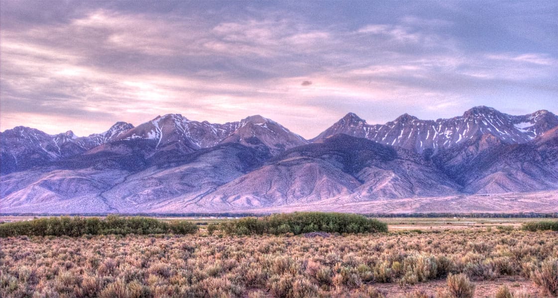
The 9th Circuit affirmed a favorable decision from the Montana District Court in a case challenging the denial of a special use permit (SUP) for a ski area development on the Lolo and Bitterroot National Forests in  Western Montana Community Partners et al. vs Austin et al.                                          The court concluded:
Plaintiffs were not entitled to an administrative appeal because the plaintiffs did not apply for the SUP at the invitation of a “prospectus” issued by the Forest Service;
The Forest Service did not abuse its discretion in concluding the plaintiffs’ proposed resort “would not meet the visual quality standards of retention or partial retention”;
The Forest Service did not abuse its discretion in concluding the proposal was inconsistent with the Lolo Forest Plan;
The Forest Service did not abuse its discretion in concluding that the proposal contravenes the recreational standards applicable to the Bitterroot Forest Plan; and
The Forest Service was free to change its views even if it consistently endorsed the concept of building a ski resort as long as its “new policy is permissible under the statute, . . . there are good reasons for it, and . . . the agency believes it to be better.”
(15-35568, 9th Cir.)

2. Recreation | Region 1
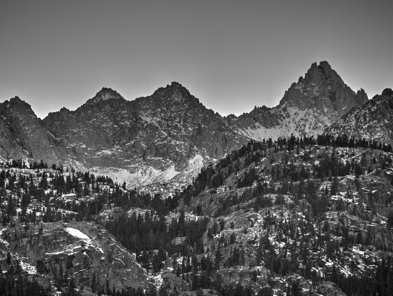
The District Court for the District of Idaho found favorably for the Forest Service on a challenge to the Clearwater National Forest Travel Management Plan in Clearwater County et al. vs. United States Forest Service et al.
Plaintiffs, counties in Idaho, disputed the closure of approximately 200 miles of trail to motorized use where such use was previously allowed. The agency argued that the plaintiffs did not establish standing to bring the case by failing to demonstrate any actual or imminent injury resulting from the agency’s decision. The court agreed. Nevertheless, the court considered the merits of the plaintiffs’ claims.

The court ruled:
The agency adequately coordinated with the plaintiffs during the travel planning process by providing notice and an opportunity for the counties to be involved in, comment on, and cooperate with the agency during the process of developing the travel plan;
The Forest Service “articulated a reasonable and well supported basis” for why motorized uses were being limited or eliminated in recommended wilderness areas that previously allowed such uses;
The agency appropriately balanced the correct standards for management areas by providing motorized recreational opportunities while conserving big-game summer range and special wildlife areas by restricting motorized use on some trails; and
The agency sufficiently address the social and economic impacts of the travel plan on local governments and communities.
(13-519, D. Idaho)

Notices of Intent

1. Wildlife | Region 3
The Center for Biological Diversity (CBD) submitted a Supplemental Notice of intent to Sue (NOI) related to the proposed Rosemont Copper Mine on the Coronado National Forest. According to the NOI the mine will cover 3,670 acres of national forest, last between 20-25 years, and permanently fill approximately 18 miles of streams. The NOI alleges the Fish and Wildlife Service’s (FWS) April 28, 2016 Amended Biological Opinion (BO) violates the Endangered Species Act (ESA) and the Forest Service’s reliance on the BO in its Record of Decision violates the ESA.

CBD challenged FWS’s BO primarily on four grounds: 1) the mine’s effects on jaguar, 2) the mine’s effects on Gila, 3) the standards used by the FWS to reach its conclusions, and 4) how the FWS calculated incidental take. For jaguar the NOI states the mine is located in “the home range of one of the three known wild jaguar in the entire United States” and would result in the permanent loss of over 4,000 acres due to its construction. Concerning Gila the NOI states that the watershed in which the mine is to be located is critical habitat for the Gila “has the only known stable and secure population of Gila chub in existence.” For standards the CBD claims the FWS unlawfully applied a “high probability standard instead of a required “likely” standard in making determinations for jaguar and other species with designated critical habitat in the mining area, unlawfully applying a “greatly diminished” standard and threshold in making a determination for Gila chub, and for “relying upon unlawful regulations defining ‘destruction or adverse modification of critical habitat’ which conflict with the plain language, purposes, legislative history and relevant case law…” For the last main challenge the NOI states the FWS used groundwater

elevations as a surrogate measure for incidental take since the FWS claimed “it was unable to determine a numeric estimate or limit on take.” The problem with this, the NOI claims, is that this measure is calculated post-mining and is therefore not meaningful for monitoring take.

The NOI alleges the Forest Service is in violation of ESA because “without a lawful and valid BO, the Forest Service… cannot ensure that their actions related to the proposed mine, including the Forests Service’s 2017 Record of Decision, are not likely to jeopardize the continued existence of any of the listed species, or result in the destruction or adverse modification of the species critical habitat.”

CBD NOI

WMCP v Austin

Clearwater Opinion

Litigation Weekly June 23 (1)

Waldo Canyon- Five Years Later : Colorado Springs Gazette

A sign for the Waldo Canyon trail stands before a sign warning people of trespassing. The trail has been closed since the 2012 wildfire, and the U.S. Forest Service has no plans to allow access in the canyon. (The Gazette file photo)

The Colorado Springs Gazette just completed a great series on five years after the Waldo Canyon Fire- lots of photos and videos.. Here is a link to a piece of the story from which you can click around to find other pieces. Maybe I am old-fashioned but I found it much easier to read and interpret in the more linear (and fewer clicks per bite of information) print edition. The excerpt below talks about the impacts on a recreation trail, which is something you don’t hear much about. I’m sure there are other discussion-worthy parts to the article as well.

A CHANGING FOREST
Five years after the devastation, land managers maintain a hopeful narrative. The Forest Service calls the burn scar 70 percent revegetated – a figure that does not allude to the return of the previous conifer-covered state, but to a transformed one.

The area is taking on a look it likely had centuries ago, says Pikes Peak District Ranger Oscar Martinez. Mother Nature has “reset the clock,” he says, by pulling up the aspens that long lay dormant beneath the now-destroyed pines and firs that dominated for generations in forest time. Also covering the slopes now are tangles of scrub oak; they, like aspens, were eager to make their presence known soon after the conifers departed.

There has always been fire, Martinez explains. “There’s always been an ebb and flow,” he says.

But locals have endeavored to bring back the dense green scene they recall, most fondly from their days of hiking the Waldo Canyon trail, super popular before its closure in the fire’s wake. From 2013 to 2016 the Colorado Springs Office of Emergency Management tallied 94,730 volunteer hours from individuals who, among other recovery tasks, spread conifer seedlings. The Forest Service reports overseeing the planting of 60,000 conifers across the scar.

And all those attempts could very well prove futile. What’s certain is the trees grow slow, too slow for those volunteer adults to see them stand tall in their lifetimes.

“There are questions as to whether or not they will ever come back,” says Melanie Vanderhoof, the scientist with the U.S. Geological Service who has been tracking the scar’s revegetation from annual satellite imagery.

A fire of Waldo Canyon’s magnitude heats the ground to a point of hydrophobicity, where instead of water being absorbed, it is repelled. Further complicating the conifers’ return is the forest’s unique soil – “calling it a soil is kind of a generous term,” Martinez says. Conservationists call Pikes Peak granite “kitty litter,” for its pebbly, porous condition, which rain had no problem moving in the days after the burn, washing the sediment into the canyon and piling it up to heights of grown men.

That phenomenon made portions of the Waldo trail disappear along its 7-mile loop. The Forest Service continues to take questions as to when the trail will reopen, and land managers say people should refine their questions, considering the trail no longer really exists. Realignment seems more than likely.

“The question is where will it be, if there will ever be a trail in there,” Martinez says.

Serious conversations about reintroducing recreation have yet to be had. The management plan for the Pike National Forest is due sometime between 2018 and 2020, and that, Martinez says, would identify areas where a trail is feasible.

Susan Davies with the Trails and Open Space Coalition understands the Forest Service’s concerns – the dangers of flash floods and dead trees that could fall on heads at any moment. “It is the five-year anniversary” of the fire, she says, “and I think it would be great if the Forest Service were willing to put together a timeline, or even state a goal of when we might be able to start a public process. Could we at least start a conversation?”

Dan Jiron New Acting Deputy Undersecretary

Dan Jiron new Acting Deputy Undersecretary

From an announcement . this is excerpted.

As you know, USDA announced a reorganization on May 11, 2017. In accordance with a directive in the 2014 Farm Bill, we created a new Under Secretary of Trade and Foreign Agricultural Affairs as part of a realignment of several mission areas. The reorganization also included a reconstituted mission area reporting to a newly-named Under Secretary for Farm Production and Conservation. The U.S. Forest Service, given its size and importance, will be the only agency to report to the Under Secretary for National Resources and Environment. For these three mission areas, we have named Acting Deputy Under Secretaries, who will serve in their roles until the Senate confirms permanent presidentially-nominated appointees.

Natural Resources and Environment

Dan Jiron will fill the role of Acting Deputy Under Secretary for Natural Resources and Environment. With more than 29 years of public service and natural resources management, Jiron was appointed Associate Chief of the Forest Service in July 2016. Prior to this appointment, Jiron served in many leadership positions, including Regional Forester of the Rocky Mountain Region; Deputy Regional Forester in the Pacific Southwest Region; Forest Supervisor of the Santa Fe National Forest; District Ranger on the Salt Lake Ranger District of the Uinta-Wasatch-Cache National Forest; District Ranger on the South Park Ranger District of the Pike and San Isabel National Forest, Comanche, and Cimarron National Grasslands; Director of Communications and Legislative Affairs of the Intermountain Region, National Press Officer in Washington, D.C.; and aide to United States Senator Ben Nighthorse Campbell of Colorado. Jiron earned a bachelor’s degree from Colorado State University and a Master’s degree from Regis University of Denver.

Under the reorganization plan, the Under Secretary for Natural Resources and Environment will retain supervision of the U.S. Forest Service.

For those of you who aren’t familiar with USDA bureaucracy, there is one Secretary and Undersecretaries who are right below him. A Deputy Undersecretary works for the Undersecretary.( In the Obama administration, there were two Deputy Undersecretaries, at first Harris Sherman and Robert Bonnie, and Harris Sherman moved on and was replaced by Butch Blazer.) Parentheses indicate that this information may not be correct and I welcome corrections.
Perhaps with the reorganization, they will only need one Deputy Undersecretary?
FWIW, as far as I’m concerned, Dan is a great choice for this job.

A to Z and Back Again

FYI, here’s Russ Vaagen’s blog post on the A to Z sale, which has been discussed on this blog here and here. The former said that “The “A to Z” Mill Creek Pilot Project sets up a 10-year contract on 50,000 acres in the Colville National Forest. It allows a private company to use private dollars for everything after the timber sale is laid out, including the pre-sale environmental requirements and NEPA. With private funds and local management, the Colville National Forest can be managed for healthier forests and stable, sustainable revenue.”

Anyone have a link to the court decision?

Zinke Proposes Co-Management with Tribes on Bears Ears

This is an AP story from the Colorado Springs Gazette here:

Zinke, a former Republican congressman from Montana, said he wants to make sure Native American culture is preserved and said Congress should approve legislation granting tribes legal authority to “co-manage” some of the Bears Ears site.

“I have enormous respect for tribes,” Zinke said, adding that he supports Native American efforts to restore “sovereignty, respect and self-determination.”

Instead of the monument designation, which prevents a range of development, Zinke said some of the sprawling, 1.3 million acre site should be designated for conservation or recreation. He called on Congress to approve a land-management bill for Bears Ears and other federal lands.

In the Gazette printed edition, it showed more of the AP story. So I tried to find that at the AP site (had to sign up but free) and found this.

Interior Secretary Ryan Zinke’s recommendation to downsize the new Bears Ears National Monument in Utah was applauded by the state’s top Republican leaders.

However, it marked a stinging setback for a coalition of Western tribes that pushed for protection of lands they consider sacred.

Zinke, a former Republican congressman from Montana, said Monday he’s committed to make sure Native American culture is preserved and vowed to push for Congress to approve legislation granting tribes legal authority to co-manage some of the Bears Ears site.

He said he discussed the idea with the tribes and that they came away happy with the plan.

Several tribal leaders balked at that characterization, saying they weren’t briefed on the plan and consider the idea to be an attempt to temper their criticism.

They joined environmental groups in vowing to file lawsuits if President Donald Trump accepts the recommendation and shrinks the monument.

If I were reporting this, I might call around to different Tribes and find out with whom Zinke had spoken. As reported here, it makes you wonder why the cited Tribes would rather have the Monument as designated, than co-management. I wonder if the reporter spoke with the Inter-Tribal Coalition (they were “several Tribal leaders”). In a wonky way, I also wonder exactly what Zinke means by “co-management,” but agree that it’s an idea worth exploring.

In this more detailed story, by Amy Joi O’Donoghue for the Deseret News, you can see some of the complexities and controversy that may be missing from the AP story.

Many Utah Navajo are against a monument designation for Bears Ears, but the out-of-state tribal leaders behind the Bears Ears Inter-Tribal Coalition who support it insist the effort is one that is locally driven, locally supported and grass-roots in nature.

I’d also add that members of this blog community with direct experience have also said that there are Tribes and people in Tribes who have different ideas about the Monument. So it seems as if once again, in the interests of space (?), real-world complexities have been shaded to fit a simpler, and less accurate, narrative in the national press story.

Trees on the Great Plains: Shelterbelts and the Forest Service

Early agroforestry poster created by artist Joseph Dusek
between 1936–1940 (Work Projects Administration
Poster Collection, Library of Congress).

Here’s an excellent piece of history by by Andy Mason and Sarah Karle from the Rendezvous (Rocky Mountain FS retiree newsletter).  I particularly liked these photos that show how a few folks with a big dream for improving the environment, almost a hundred years ago, succeeded (after hard work, research and experimentation) succeeded, and is still working today.

Artistic representation of shelterbelt spacing. Shelterbelt strips are planted in parallel rows following the Jeffersonian grid. Lake States Forest Experiment Station, St. Paul, Minnesota, 1934. Forest Service, USDA.


Three intact Prairie States Forestry Project shelterbelts continue to protect farmland and provide cover for wildlife. The straight rows represent a zone blurring the line between human-made and natural. Courtesy of Scott Drickey, photograph taken in Spring 2015.


Prairie States Forestry Project (1934-1942)

In 1934 President Franklin D. Roosevelt initiated the New Deal’s Prairie States Forestry Project to create “shelterbelts” of newly planted trees to mitigate the effects of the Dust Bowl in America’s Great Plains. The project stretched from North Dakota to northern Texas and helped stabilize soil and rejuvenate farm communities affected by the dust storms. Under Roosevelt’s Administration from 1934 to 1942, the program both saved the soil and relieved chronic unemployment in the region. The U.S. Forest Service was responsible for organizing the “Shelterbelt Project,” later known as the “Prairie States Forestry Project.” Paul H. Roberts from the agency’s Research Branch directed the project that was headquartered in Lincoln, Nebraska.

When FDR came to office in 1933, the Great Plains and other regions were suffering from what would become an almost decade-long period of economic, environmental, and social crises.  Several large-scale factors led to the environmental devastation of the Dust Bowl and contributed to the economic hardships of the Great Depression, leading to the social upheavals that followed. As president, FDR used conservation projects as a job-creation tool against the Great Depression, and within months of becoming president, he devised the Prairie States Forestry Project. The project, based to some degree on Roosevelt’s personal experience with forest management, was proposed as an ambitious “Great Wall of Trees” using shelterbelts across the Great Plains to reduce soil wind erosion, retain moisture, and improve farming conditions. Trees were typically planted in long strips at 1-mile intervals within a belt 100 miles thick. At the time, it was believed that shelterbelts at this spacing could intercept the prevailing winds and reduce soil and crop damage. The project used many different tree species of varying heights, including oaks and even black walnut. The plan engaged scientific knowledge with shifting political ideals, including regionalism and the role of government in the conservation of private land.

Though seemingly beneficial, the Forestry Project was ridiculed from its inception. Some professional foresters expressed doubts about its chances of success, while the general public perceived it as an outdated scheme of dubious credibility to “make rain.” Despite a general lack of scientific and Congressional support, the Forest Service worked across six states with local farmers, the Civilian Conservation Corps, and the Works Progress Administration to plant over 220 million trees, creating more than 18,000 miles of windbreaks on 33,000 Plains farms. Although Works Progress Administration and Civilian Conservation Corps workers planted the trees and shrubs, landowners were responsible for their long-term care and maintenance.  At the height of the Great Depression, the project employed thousands of residents (notably both men and women) of the Plains states and CCC members from around the country.

The program officially ended in 1942, but by 1944 (scarcely a decade after its inception} environmental and economic benefits from these shelterbelts, including land management practices, control of wind erosion, soil conservation, cover for game birds, and the creation of snow traps along highways, were already apparent. Since 1942, tree planting to reduce soil losses and crop damage has been carried out primarily by local soil conservation districts in cooperation with the Soil Conservation Service (now Natural Resources Conservation Service) with help in later years from State forestry agencies aided by U.S. Forest Service programs. Today the rows of shelterbelt plantings, while diminished by subsequent changes in agricultural policies and practices, continue to communicate culturally recognized signs of human intervention and interaction with the landscape.

Sign of the Times?

Funny seeing an “8 in 1 Survival Kit” advertisement on a ‘climate warrior’ gloom and doom website. The advertiser specializes in “Outdoor and Urban Survival”. A list of what is in there makes me laugh.

1) LED flashlight (No mention of batteries) In a climate emergency, batteries will always be available, eh?
2) Heavy Duty ink pen (In case you need to sign another useless petition?)
3) Flint Stick (For lighting abandoned campfires? 84% of wildfires in the US are human-caused)
4) Compass with ruler (Without a map, that severely limits how much a compass can help you. Magnetic declination? In Seattle, True North and Magnetic North are different by over 20 degrees)
5) High frequency whistle (When the shit hits the fan, just whistle!)
6) Tool Card (Yeah, fix your Prius with THAT!)
7) Steel Striker with ruler and bottle opener (Almost a dozen uses when Civil War starts!)

Enjoy Your Sunday and cherish what we continue to have!