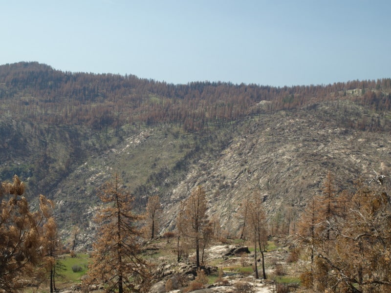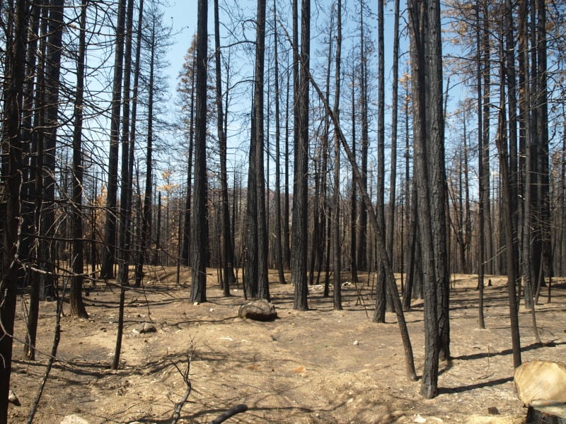
The King Fire is experiencing growth like we saw in the Rim Fire, last year. There are important similarities but there is also a main difference. The fuels are much thicker in this more northern landscape. The fire behavior was so extreme that even the airtankers could not fly their missions. The south fork of the American River features a canyon that is steep, and over 2000 feet deep. The fire has been fought aggressively along Highway 50, with 1000’s of homes nestled into un-firesafe neighborhoods. Like most people, they seem to prefer their shade over fire safety. The fire has now burned about 50,000 acres in one 24 hour period and there is only 5% containment. A weak cold front approaches and will increase the winds, even more than they have been in the last two days. After the cold front blows through, there might be a change in the wind direction, too. There seems to be a new gap in the Sierra Nevada, where old growth is being incinerated. A drive up to south Tahoe along Highway 50 shows the now-interconnected wildfires in recent history. The Wrights Fire, the Pilliken Fire, the Cleveland Fire, the Freds Fire and now, the King Fire. Change has been very harsh upon the Highway 50 corridor.
When will Congress do “something” that is effective against wildfires?