Som Sai brought up an interesting point here that I hadn’t heard before.
I think handheld GPSs and apps like Caltopo which can be used with the GPS on one’s phone have driven a lot of use also. Many people who would hesitate to use a trail without marks and signage now feel confident on simply following the little arrow on the screen.
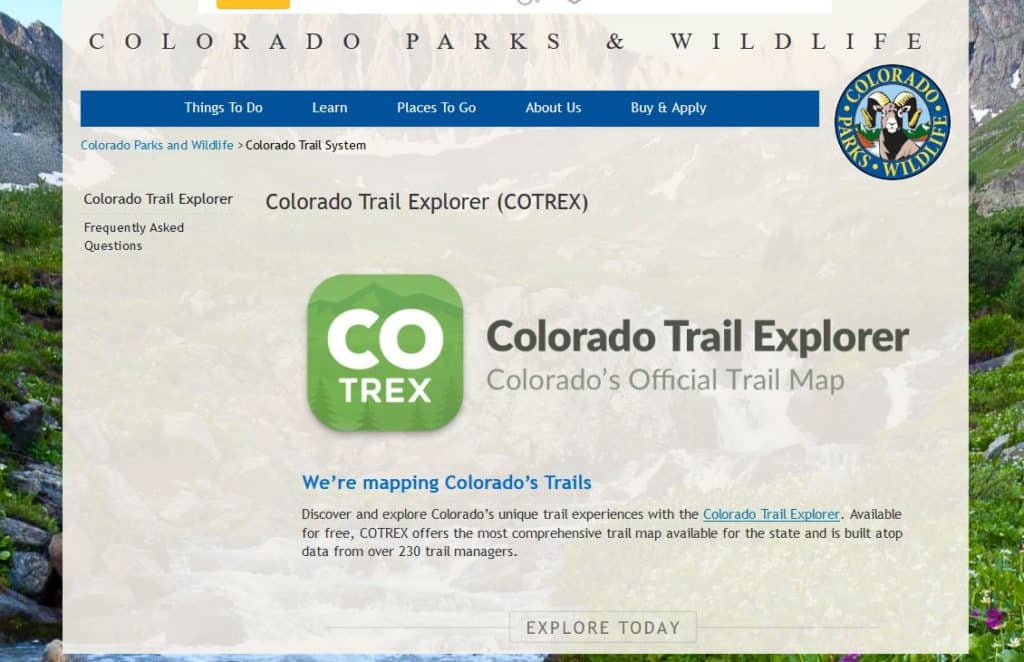
That has happened to me with one of my hiking buddies with COTREX a great app for those in Colorado. Maybe other states have these? I am not naturally an off-the-trail kind of hiker (too lazy), but some other hikers told us about a trail that was not on the map, and we could have done it without GPS, but (she) certainly did use the GPS. I can’t look at my phone and walk at the same time without tripping, let alone hiking. There is clearly a psychological tendency that I don’t have, and others do, to seek out undesignated trails.
Even in my part of Colorado, trails are getting more crowded (yes, and the tourism industry is trying to attract even more people, plus the resident population is increasing) and people who don’t want to be in crowds may naturally seek out user-designated trails or make their own. It seems to me that the topography in some areas might be more welcoming to this activity than others. Does anyone know of any studies of this dynamic? Or more personal experiences? It seems like where communities are adjacent to National Forests might be places where this dynamic has already occurred, and lessons could be learned.
Without painting mountain bike users as “the bad guys,” they certainly can go further into the back country in the same period of time as hikers. It seems like any user groups impacts would be a function of (numbers) (wildlife annoying properties- say accompanying dogs) (going places others don’t go). Would many horses, say, 15 miles in, be as bothersome to wildlife as a few mountain bikers? Or because of the cost, are there just a lot more MBers than horse people? At the same time, hikers could be camping that far in- how disruptive is that?
How disruptive are the “every day after work” in the front country, compared to the weekend type in the backcountry? Perhaps the residents vs. tourists? Are tourists more seasonal? Is there even a real distinction between the front, mid and back country where you live?

Regarding GPS apps, I think that is a similar issue to what people are always complaining about with Instagram and other social media driving increased traffic in the backcountry. At some level, it’s a no-brainer. Of course better maps and navigation technology are going to enable people to (a) find places they otherwise would never have discovered, and (b) get there without getting lost.
The digital maps we have today are far more detailed than old paper topo maps, and many of them now show user-created social trails that don’t show up on official maps. So it makes sense that people will find those trails and use them. I experienced this first hand on a backpacking trip last summer, where GaiaGPS showed a trail in the Lost Creek Wilderness that doesn’t show on most other maps, but which made a very convenient connector between two official trails to plan a loop route. The trail existed on the ground but would have been extremely difficult to follow in a few places without the map. Even with GPS we still got lost a couple places and had to double back after losing the trail.
In the end though, I think it’s just a case of the Internet and digital technology doing what it was created to do — spreading information. Digital maps, blogs, Instagram, YouTube, trail guide websites like Alltrails, etc. all serve to aggregate and disseminate information that formerly was not widely known. And as a result of people discovering this information, they act on it by visiting new places they otherwise would not have known about. It’s just the new reality of outdoor recreation.