Speaking with folks in DC last week, it sounds as if we don’t know a) if forest provisions will end up in the bill or b) which ones those are. But given that context, I’d still like to understand what they intend (ed?). But I don’t know that for sure.. perhaps someone out there has more updated information?
A simple reading of the bill as posted here takes this paragraph:
“$10,000,000,000 for hazardous fuels reduction projects within the wildland-urban interface;”
and this definition of WUI
(10) WILDLAND-URBAN INTERFACE.—The term ‘‘wildland-urban interface’’— 22 (A) in the case of the lower 48 States,
23 means the areas mapped as the wildland-urban 24 interface in the document entitled ‘‘The Wildland-Urban Interface of the Conterminous
United States’’, and published by the Department of Agriculture in 2015; and
3 (B) in the case of the States of Alaska and
4 Hawaii, has the meaning given the term in section 101 of the Healthy Forests Restoration 6 Act of 2003 (16 U.S.C. 6511).
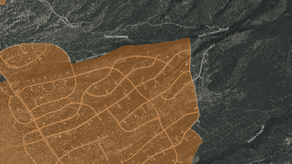
So given the maps and the definitions from the 2010 mapping (published in 2015 with 2010 data) that we looked at yesterday that shows, and defines WUI, as already having houses… I wonder whether there is any NFS land in the 2010 mapped WUI to be treated?
If you’re in Alaska or Hawaii, though, apparently you get to use the HFRA definition, with which many of us are familiar (and may be the first thing that comes to mind when someone says WUI, especially related to fire).
A community gets to designate it via a CWPP (community wildfire protection plan) or otherwise it’s this default:
HFRA has a default definition of WUI (Section 101(16)(B (ii)). It is an area:
Extending 1/2 mile from the boundary of an at-risk community.
ORExtending 1 1/2 miles from the boundary when other criteria are met—for example, a sustained steep slope, a geographic feature that could help when creating an effective firebreak, or Condition Class 3 land.
ORAdjacent to an evacuation route. There is no distance limitation for evacuation routes.
Fortunately it appears that the at-risk community definition is the same.
“AT-RISK COMMUNITY.—The term ‘‘at-risk 6 community’’ has the meaning given the term in section 101 of the Healthy Forests Restoration Act of
8 2003 (16 U.S.C. 6511).”
So for the lower 48, clearly it was intentional to use the 2010 maps instead, but the maps may not (are likely not to?) have any FS land on them. Was this intentional, or am I misunderstanding it?